[:ja]NASAの地球観測衛星Landsat 8が撮影した中東の死海です。西側をイスラエル、東側をヨルダンに接し、湖面の海抜はマイナス418mと、地表で最も低い場所です。
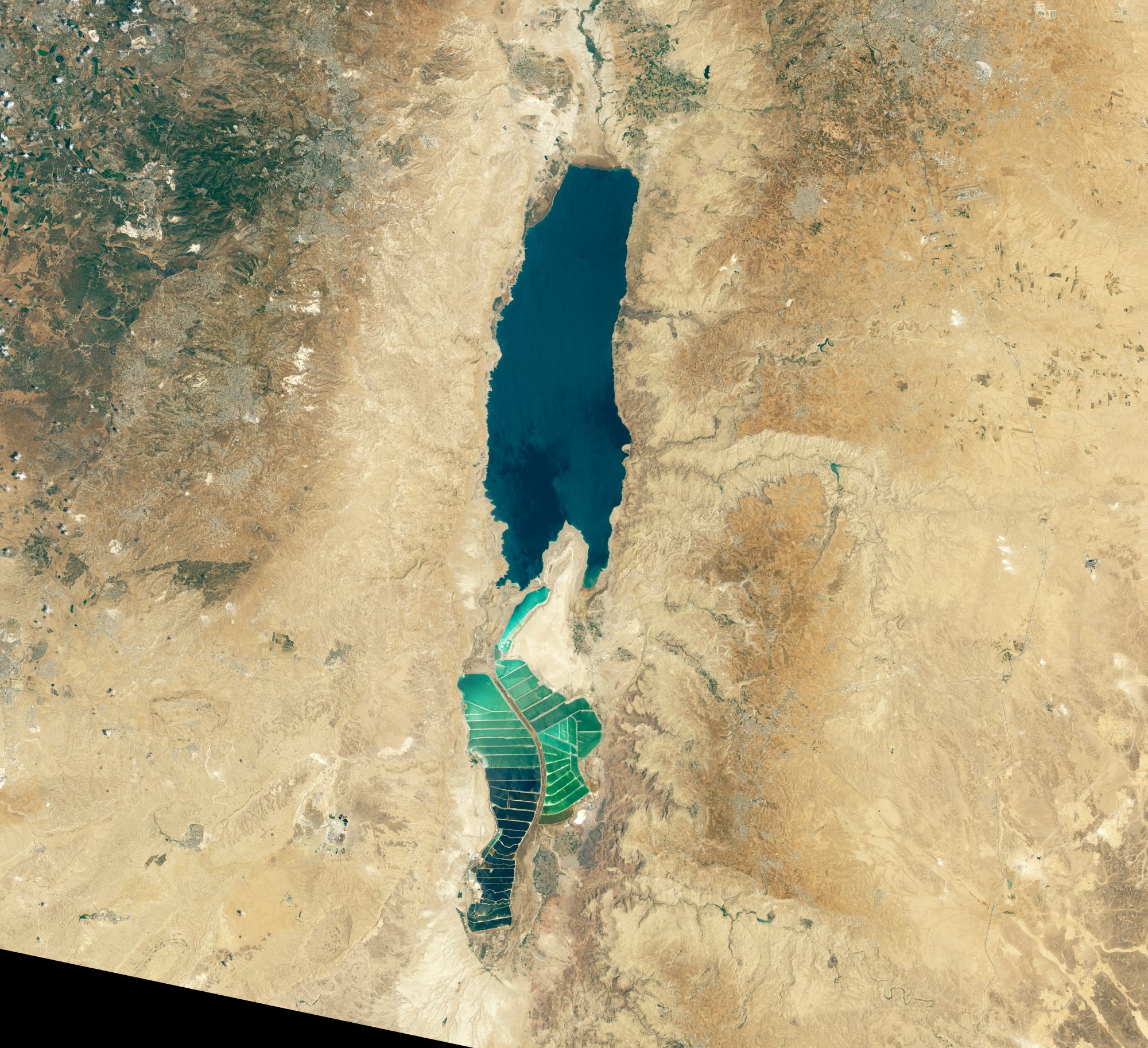
死海の水源は唯一ヨルダン川です。年間降水量は50mmから100mmと極端に少なく、気温は夏が32~39度、冬でも20~23度と非常に高いため、湖水の蒸発が水分供給を上回る状態で、高い塩分濃度が生まれました。海水の塩分濃度が約3%であるのに対し、死海の湖水は約30%の濃度です。
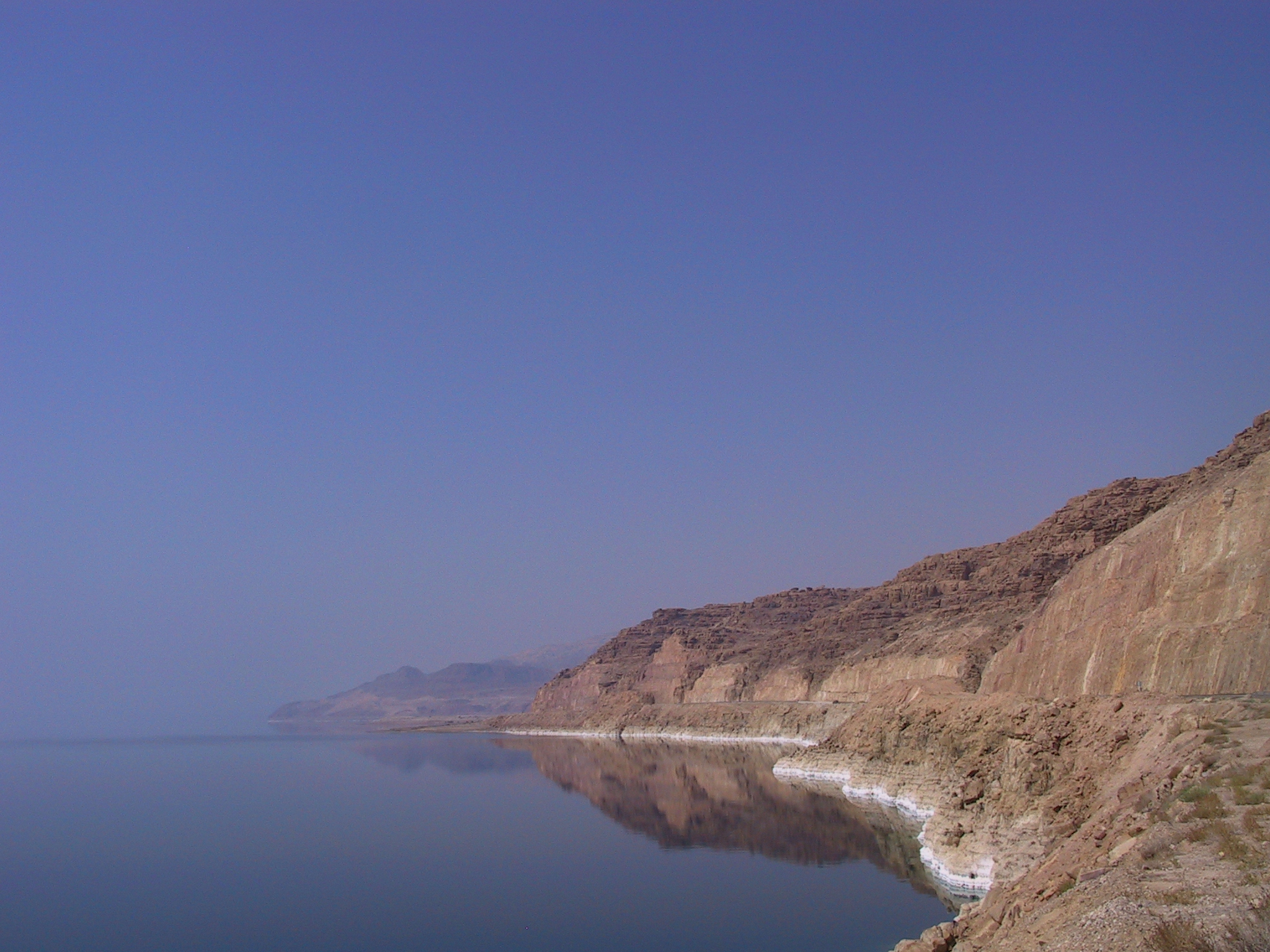
地上の様子はこちらです。
参考文献: Getting Saltier (NASA Earth Observatory)
地球俯瞰画像を見る: LiVEARTH
[Earthview Wonders] No.1081: Dead Sea🇯🇴🇮🇱
NASA’s Landsat 8 satellite captured the Dead Sea in the Middle East. The salt lake is bordered by Jordan to the east and Israel and the West Bank to the west, and is at 418m below sea level at the lowest spot on the Earth.
Dead Sea’s main tributary is the Jordan River. Annual rainfall is scarcely 50-100mm and due to high temperature in the basin evaporation rate is higher than water provision which created salt density of 30% compared to sea water of 3%.
The local scenery on the ground is as follows.
Reference: Getting Saltier (NASA Earth Observatory)
See earthview photo gallery: LiVEARTH[:en][Earthview Wonders] No.1081: Dead Sea🇯🇴🇮🇱
NASA’s Landsat 8 satellite captured the Dead Sea in the Middle East. The salt lake is bordered by Jordan to the east and Israel and the West Bank to the west, and is at 418m below sea level at the lowest spot on the Earth.
Dead Sea’s main tributary is the Jordan River. Annual rainfall is scarcely 50-100mm and due to high temperature in the basin evaporation rate is higher than water provision which created salt density of 30% compared to sea water of 3%.
The local scenery on the ground is as follows.
Reference: Getting Saltier (NASA Earth Observatory)
See earthview photo gallery: LiVEARTH[:]