[:ja]ルカ・パルミタノ宇宙飛行士がISSから撮影したカナダアームとカナダのアキミスキ島です。
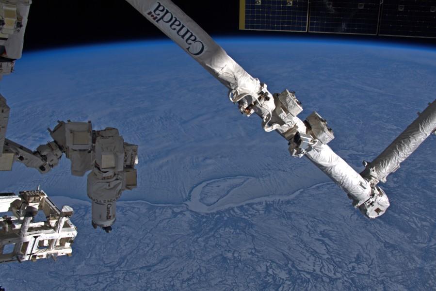
アキミスキ島はカナダ北東部、ジェームズ湾の最大の島で、ヌナブト準州に属しています。島は平坦な地形であり、植生としてはコケ類が中心となっています。沿岸部は湿地となっており、多くの渡り鳥が飛来するため自然保護区となっています。哺乳類では、ワモンアザラシやホッキョクグマ、シロイルカなどが見られます。また、ISSのロボットアーム(カナダアーム2)は、カナダが開発し、ISSの組立作業や修理作業などで、モジュールを移動させたり、船外活動を行うクルーを乗せて移動させるなど、様々な用途で使用されています。
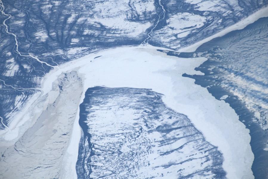
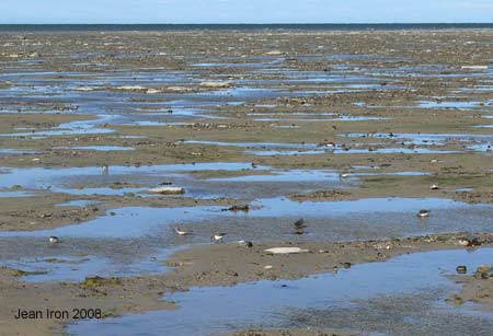
地上の様子はこちらです。
参考文献: Luca Parmitano’s Tweet 1, Luca Parmitano’s Tweet 2
地球俯瞰画像を見る: LiVEARTH
[Earthview Wonders] No.1189: Canada Arm and Akimiski Island, Canada🇨🇦
Astronaut Luca Parmitano captured from ISS the Canada Arm and Akimiski Island, Canada.
Akimiski Island is the largest island in James Bay (a southeasterly extension of Hudson Bay), Canada, which is part of the Qikiqtaaluk Region of the territory of Nunavut. The island’s name is Swampy Cree for “land across the water.” The island has no year-round human inhabitants; however, it is part of the Attawapiskat First Nation’s traditional territory and is frequently used for traditional purposes. Most of the vegetation that covers the island consists of lichen, moss, sedges, and dwarf black spruce. The island is a coastal wetland that includes mudflats, tidal marshes, and tidal mudflats. Freshwater streams that flow into southwestern James Bay carry sediments and abundant nutrients that help to sustain the productive waterfowl habitat around Akimiski Island.
The local scenery on the ground is as follows.
Reference: Luca Parmitano’s Tweet 1, Luca Parmitano’s Tweet 2
See earthview photo gallery: LiVEARTH[:]