[:ja]ジェシカ・メイヤー宇宙飛行士がISSから撮影したフランス北部のリールです。
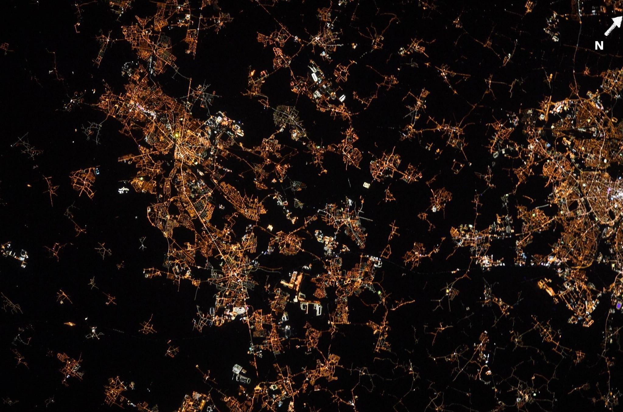
リールはベルギーと国境を接するオー=ド=フランス地域圏の首府、ノール県の県庁所在地です。リールを含む一帯は、中世にはフランドル伯の領地であったので、フランドル・フランセーズ(Flandre française)と呼ばれることがあり、リール市民はリロワ(Lillois)と呼ばれます。大学が多く、9万人の学生がいます。12世紀に毛織物の市が立つようになり、工業化は19世紀に始まりました。大陸封鎖令により繊維工業が増進しましたが、第二次世界大戦後には、リールが生業としていた繊維業、石炭業、金属業界の恐慌に直面しました。1980年代以降リールは、ウラリール、TGV、英仏海峡トンネルなど大型施設の恩恵の下、サービス業に眼を向けています。
地上の様子はこちらです。

参考文献: Jessica Meir’s Tweet
地球俯瞰画像を見る: LiVEARTH
[Earthview Wonders] No.1207: Lille, France🇫🇷
Astronaut Jessica Meir captured from ISS Lille, France.
Lille is a city at the northern part of France, in French Flanders. On the Deûle River, near France’s border with Belgium, it is the capital of the Hauts-de-France region, the prefecture of the Nord department. It belongs to a vast conurbation formed with the Belgian cities of Mouscron, Kortrijk, Tournai and Menin, which gave birth in January 2008 to the Eurometropole Lille-Kortrijk-Tournai, the first European Grouping of Territorial Cooperation (EGTC), which has more than 2.1 million inhabitants. The construction of the new Euralille business district in 1988 (now the third largest in France) and the arrival of the TGV and then the Eurostar in 1994 put Lille at the heart of the major European capitals. In 2020, the European metropolis of Lille will be “world capital of design”.
The local scenery on the ground is as follows.
Reference: Jessica Meir’s Tweet
See earthview photo gallery: LiVEARTH[:]