[:ja]ルカ・パルミタノ宇宙飛行士がISSから撮影したマダガスカル南部です。
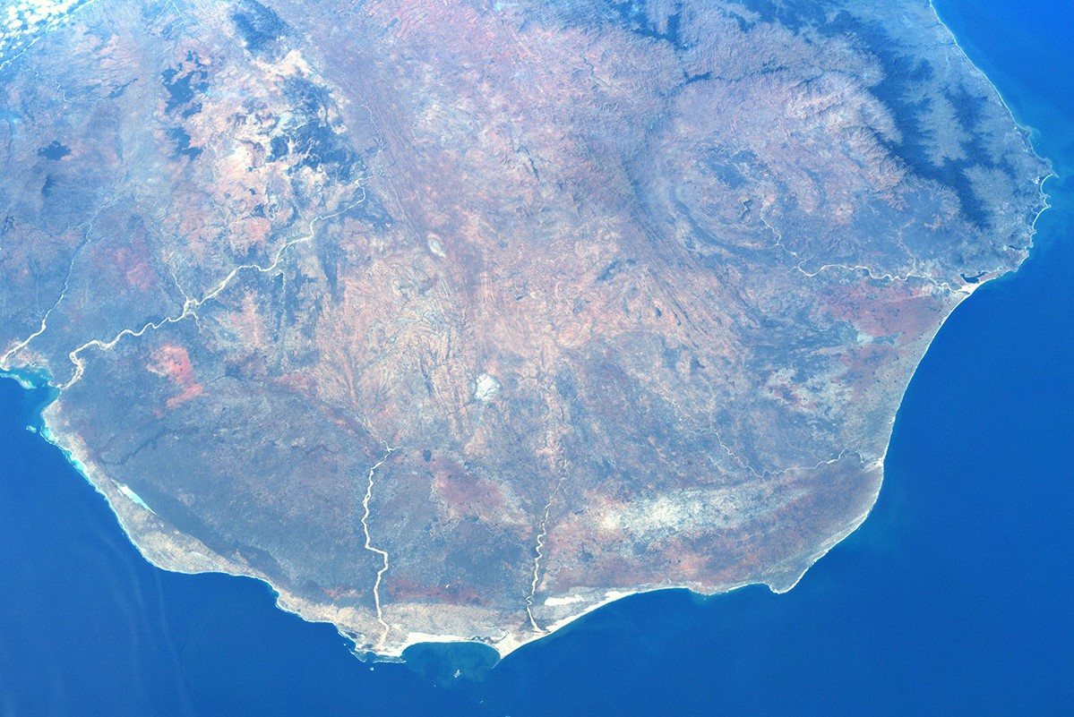
マダガスカル島は、世界で4番目に大きな島です。島西部の自然景観は草原が卓越し、岩石性の山塊が点在、まだらな落葉樹林地帯やバオバブの林を伴います。他方で南部は砂漠と有刺林叢が特徴です。先史時代にゴンドワナ超大陸の分裂に伴いアフリカ大陸から分かれ、さらにその後の8800万年前ごろにインド亜大陸とも分離して形成されたとされています。他の大陸と生物種の往来が少ない孤立した状態が長く保たれたため、島内の生態系を構成する各生物種が独特の進化を遂げ、21世紀現在でも野生生物種の90%以上が固有種という、生物多様性にとって重要な場所です。
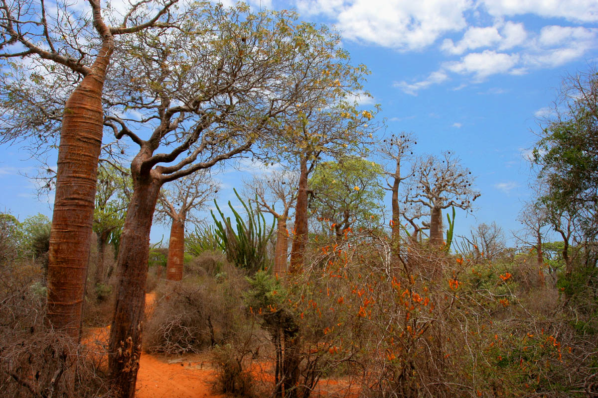
マダガスカル南部の地上の様子はこちらです。
参考文献: Luca Parmitano’s Tweet
地球俯瞰画像を見る: LiVEARTH
[Earthview Wonders] No.1220: Madagascar🇲🇬
Astronaut Luca Parmitano captured from ISS southern Madagascar.
Madagascar is the fourth-largest island in the world, and numerous smaller peripheral islands. The grassy plains that dominate the western landscape are dotted with stony massifs, patches of deciduous forest, and baobab trees, while the south is characterized by desert and spiny forests. Following the prehistoric breakup of the supercontinent Gondwana, Madagascar split from the Indian peninsula around 88 million years ago, allowing native plants and animals to evolve in relative isolation. Consequently, Madagascar is a biodiversity hotspot; over 90% of its wildlife is found nowhere else on Earth.
The local scenery on the ground southern Madagascar is as follows.
Reference: Luca Parmitano’s Tweet
See earthview photo gallery: LiVEARTH[:]