[:ja]星出彰彦宇宙飛行士がISSから撮影した本州と北海道の間の津軽海峡です。札幌市もよく見えています。
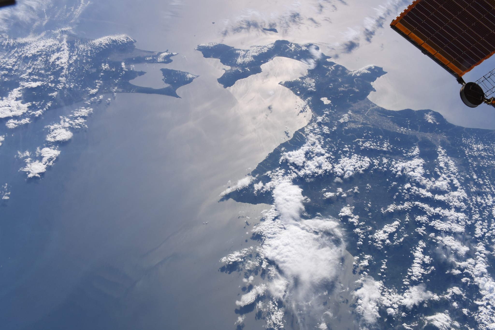
津軽海峡は、日本海と太平洋とを結ぶ海峡で、東西は約130km、最大水深は約450mです。本来は日本の領海に編入することができますが、中央部は公海です。動植物の分布境界線の一つであるブラキストン線が津軽海峡に設定されています。最終氷期(約7万年~1万年前)の海面低下は最大で約130mであり、最大水深でも70mほどである宗谷海峡は完全に陸続きになりましたが、最も浅い所でも140mの水深がある津軽海峡は、中央に大河のような水路部が残り、両岸の生物相が異なる結果となりました。約3万3千年前から2万8千年前の最も寒冷だった時期には、ヘラジカなどの大型哺乳類が本州に入りました。また、海峡の日本海側は暖流である対馬海流の分岐点であり、津軽海峡内には西から東へ流れる津軽暖流が存在します。この津軽暖流は海峡の太平洋側にて親潮と合流します。
地上の様子はこちらです。

参考文献: Akihiko Hoshide’s Tweet
地球俯瞰画像を見る: LiVEARTH
[Earthview Wonders] No.1303: Tsugaru Strait🇯🇵
Astronaut Akihiko Hoshide captured from ISS Tsugaru Strait between Honshu and Hokkaido. Sapporo City is recognizable in the image.
The Tsugaru Strait in northern Japan connects the Sea of Japan with the Pacific Ocean. The Seikan Tunnel passes under it at its narrowest point 19.5km between Tappi Misaki on the Tsugaru Peninsula in Aomori Prefecture, Honshu, and Shirakami Misaki on the Matsumae Peninsula in Hokkaido. The part of the Tsugaru Strait considered to be in international waters is still within Japan’s exclusive economic zone. Thomas Blakiston, an English explorer and naturalist, noticed that animals in Hokkaido were related to northern Asian species, whereas those on Honshu to the south were related to those from southern Asia. The Tsugaru Strait was therefore established as a major zoogeographical boundary, and became known as Blakiston’s Line or the “Blakiston Line”.
The local scenery on the ground is as follows.
Reference: Akihiko Hoshide’s Tweet
See earthview photo gallery: LiVEARTH[:]