[:ja]宇宙飛行士がISSから撮影したドーバー海峡と、イギリス、フランス、ベルギー、オランダです。
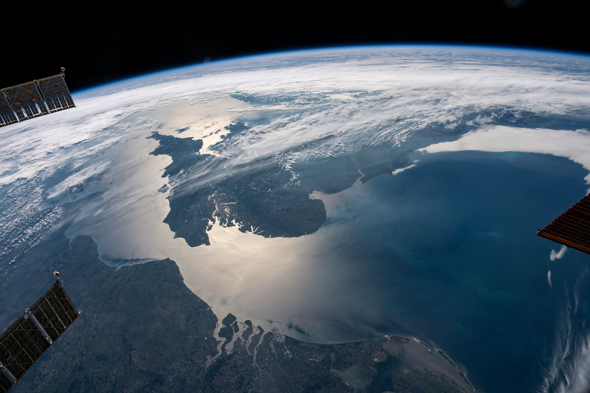
ドーバー海峡(ラ・マンシュ海峡東部(la Manche orientale))は、イギリスとフランスを隔てるイギリス海峡の最狭部です。国際水路機関(IHO)による海域分類では、北東の北海と南西のイギリス海峡の境界付近にありますが、イギリス海峡を広義の大西洋の一部とし「大西洋と北海の境」ととらえることもあります。最狭部はケント州フォーランド―パ=ド=カレー県カレーで、34kmです。英仏海峡トンネルが通っています。

参考文献: ESA’s Tweet, Thomas Pesquet’s Tweet
地球俯瞰画像を見る: LiVEARTH
[Earthview Wonders] No.1318: Strait of Dover🇬🇧🇫🇷
Astronaut on board ISS captured the Strait of Dover and U.K., France, Belgium and Netherlands..
The Strait of Dover or Dover Strait, historically known as the Dover Narrows (Pas de Calais), is the strait at the narrowest part of the English Channel, marking the boundary between the Channel and the North Sea, separating Great Britain from continental Europe. The shortest distance across the strait, 33.3km. The entire strait is within the territorial waters of France and the United Kingdom, but a right of transit passage under the UNCLOS exists allowing unrestricted shipping. On a clear day, it is possible to see the opposite coastline of England from France and vice versa with the naked eye, with the most famous and obvious sight being the White Cliffs of Dover from the French coastline and shoreline buildings on both coastlines, as well as lights on either coastline at night, as in Matthew Arnold’s poem “Dover Beach”.
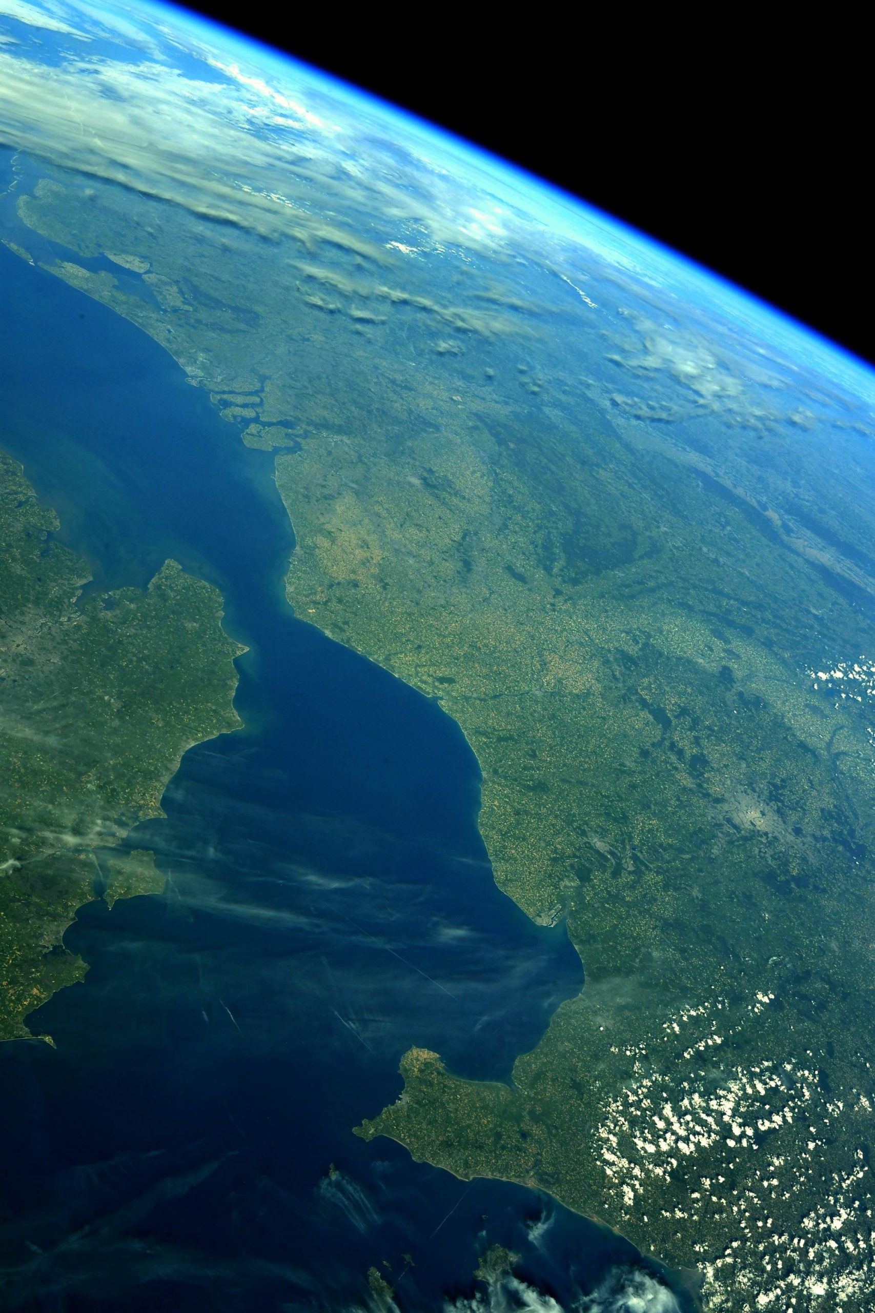
The local scenery on the ground is as follows.
Reference: ESA’s Tweet, Thomas Pesquet’s Tweet
See earthview photo gallery: LiVEARTH[:]