[:ja]宇宙飛行士がISSから撮影したマレー半島、タイとマレーシアの国境付近です。プーケットも見えています。
マレー半島は、アジア大陸の東南端に位置する半島で、南北に細長く、アジア大陸の最南端箇所を有しています。マレー半島の南西沖に、マラッカ海峡で隔てスマトラ島が位置しています。半島の東方にはボルネオ島(カリマンタン島)があり、半島の最も狭い部分はクラ地峡です。もとはスンダ列島とともに大スンダ大陸を形成しており、その頃からの生物では、島嶼部からマレー半島にかけて生息しているような例が多いです。
参考文献: Clouds and Haze over Malay Peninsula (NASA Earth Observatory)’s Tweet
地球俯瞰画像を見る: LiVEARTH
[Earthview Wonders] No.1352: Malay Peninsula🇹🇭🇲🇾
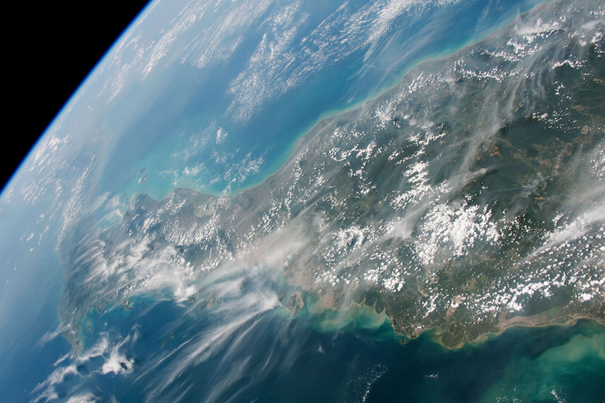
Astronaut on board ISS captured the Malay Peninsula near the border of Thailand and Malaysia. Phuket is also captured at the left side of the image.
The Malay Peninsula is a peninsula in Mainland Southeast Asia. The landmass runs approximately north–south and, at its terminus, is the southernmost point of the Asian continental mainland. The area contains Peninsular Malaysia, Southern Thailand, and the southernmost tip of Myanmar (Kawthaung). The peninsula is indigenous to or historically inhabited by the Malays, an Austronesian people. The Titiwangsa Mountains are part of the Tenasserim Hills system, and form the backbone of the peninsula. They form the southernmost section of the central cordillera which runs from Tibet through the Kra Isthmus (the peninsula’s narrowest point) into the Malay Peninsula.
Reference: Clouds and Haze over Malay Peninsula (NASA Earth Observatory)
See earthview photo gallery: LiVEARTH[:]