[:ja]トマ・ペスケ宇宙飛行士がISSから撮影したアムステルダムとマルケル湖、アイセル湖(エイセル湖)です。
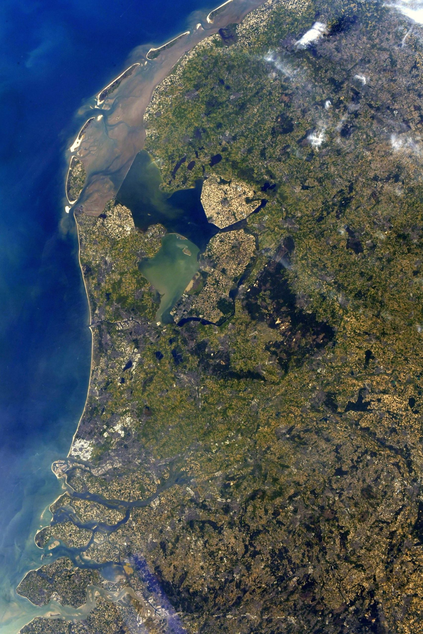
オランダ語のNederland(ネーデルラント)は「低地の国」「低地地方」を意味し、実際、国土の1/4は海面下に位置しており、最低地点はロッテルダム北東のマイナス6.7メートルです。干拓を行うと地面が低下し、過去数世紀にわたり、1世紀当たり15~20センチメートルも低下してきましたが、国土は海側から海岸沿いの砂丘部、ポルダー、東部の高地があり、砂丘部は北海の高潮から国土を守る大切な働きをしています。86万人を擁するアムステルダムの地名は「アムステル川のダム(堤防)」の意味です。憲法に規定されたオランダの首都ですが、国会、中央官庁、王宮、各国の大使館など首都機能のほとんどはデン・ハーグにあります。アムステルダムは元々は小さな漁村でしたが、13世紀にアムステル川の河口にダムを築き、町が築かれました。16世紀には海運貿易の港町として、ヨーロッパ屈指の都市へと発展しました。現在のアムステルダムは、アムステルダム中央駅を中心に市内に網の目状に広がる運河や、その運河に沿って並ぶ無総督時代の豪商の邸宅、自転車、飾り窓の女性たち、アンネ・フランクの家などで広く知られます。
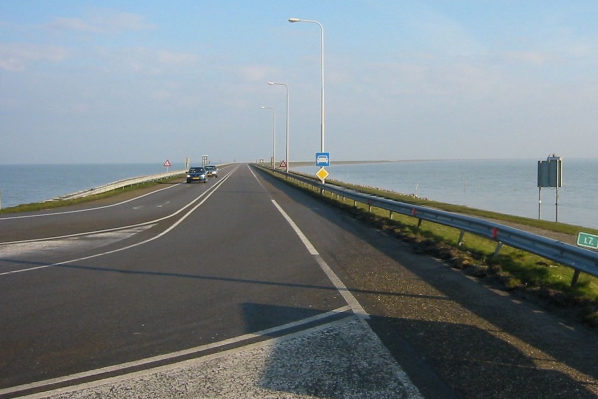
マルケル湖、アイセル湖の間のダムの地上の様子はこちらです。
参考文献: Thomas Pesquet’s Tweet
地球俯瞰画像を見る: LiVEARTH
[Earthview Wonders] No.1364: Amsterdam and Lakes🇳🇱
Astronaut Thomas Pesquet captured from ISS Amsterdam and Lake Markermeer and IJsselmeer.
“Netherlands” literally means “lower countries”, influenced by its low land and flat geography, with only about 50% of its land exceeding 1m above sea level. Most of the areas below sea level are man-made, caused by peat extraction or achieved through land reclamation. Amsterdam was founded at the Amstel, that was dammed to control flooding, and the city’s name derives from the Amstel dam. Originating as a small fishing village in the late 12th century, Amsterdam became one of the most important ports in the world during the Dutch Golden Age of the 17th century, and became the leading center for finance and trade with over 860,000 population today. A few of Amsterdam’s notable residents throughout history include: painters Rembrandt and Van Gogh, the diarist Anne Frank, and philosopher Baruch Spinoza.
The local scenery on the ground is as follows.
Reference: Thomas Pesquet’s Tweet
See earthview photo gallery: LiVEARTH[:]