[:ja]宇宙飛行士がISSから撮影したスーダンのアトバラ川、ハルツームの北東500km付近です。
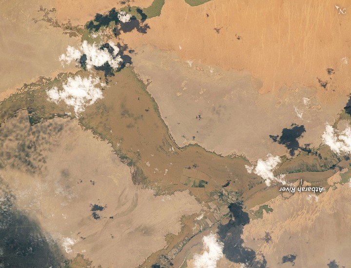
アトバラ川は、エチオピア北西部からスーダンの東にかけて流れるナイル川支流の河川です。全長約805kmで、タナ湖の北約50km、ゴンダールの西約30kmの場所から流れ出し、スーダンのアトバラでナイル川に合流します。ナイル川が地中海に流れ込む前に合流する最後の支流です。6月から10月までの雨季以外はほとんど水は流れていませんが、雨季には通常より5mも川の深さが増し、エチオピアの北部と中部を分断します。
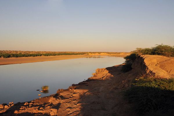
地上の様子はこちらです。
参考文献: NASA Earth’s Tweet
地球俯瞰画像を見る: LiVEARTH
[Earthview Wonders] No.1386: Atbarah River, Sudan🇸🇩
Astronaut on board ISS captured Atbarah River, Sudan.
The Atbarah River, also known as the Black Nile, rises in northwest Ethiopia, approximately 50km north of Lake Tana and 30km west of Gondar. It then flows about 805km to the Nile in north-central Sudan, joining it at the city of Atbarah. The Atbarah is the last tributary of the Nile before it reaches the Mediterranean. For much of the year, it is little more than a stream. However, during the rainy season (generally June to October), the Atbarah rises some 5m above its normal level. At this time it forms a formidable barrier between the northern and central districts of the Amhara Region of Ethiopia.
The local scenery on the ground is as follows.
Reference: NASA Earth’s Tweet
See earthview photo gallery: LiVEARTH[:]