[:ja]セルゲイ・クド-スべルチコフ宇宙飛行士がISSから撮影した紅海のアカバ湾です。
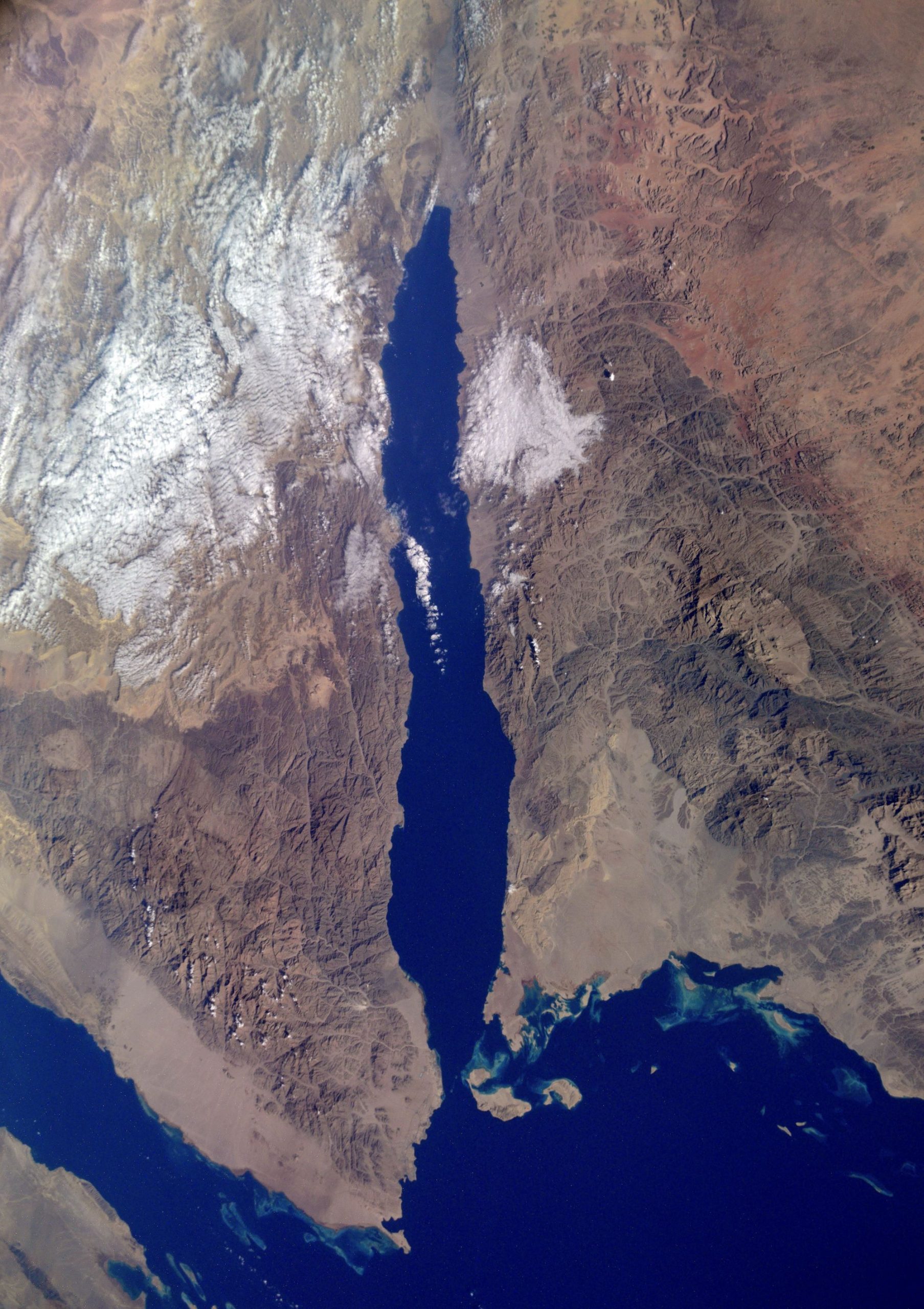
紅海は、アフリカ東北部と、アラビア半島とに挟まれた、長さ2,250km、幅最大355km、平均水深491m、最深部2,211mの湾です。海水は強い蒸発作用(少ない降雨)、流入河川無し、インド洋との限られた循環などにより塩分濃度は3.6~3.8%と高くなっています。北部にはシナイ半島があり、チラン海峡を通じてアカバ湾とつながっています。アカバ湾の両岸はエジプトとサウジアラビアですが、最奥部にはイスラエルのエイラト、ヨルダンのアカバの各港があり、4ヶ国の国境が集中しています。
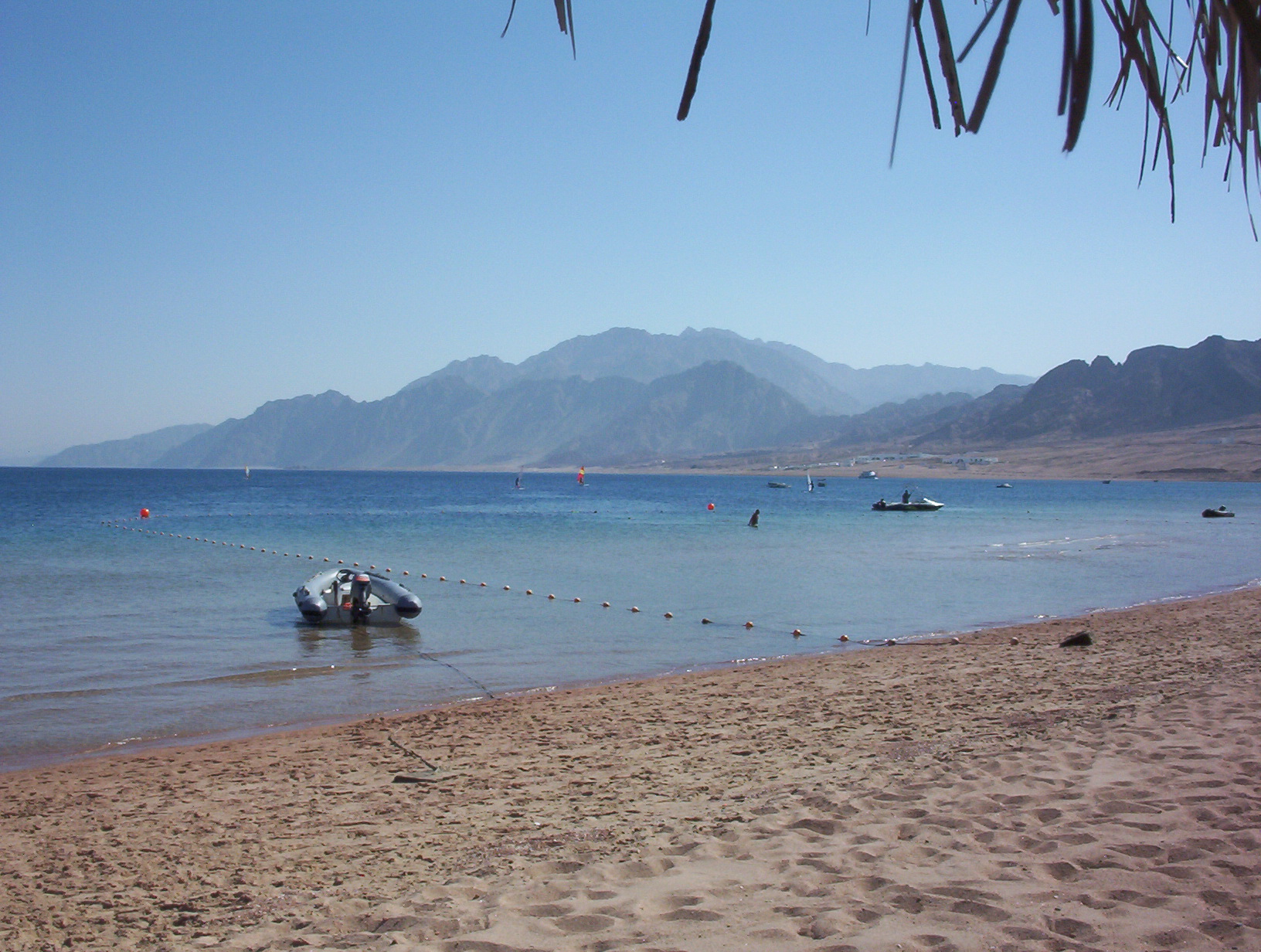
地上の様子はこちらです。
参考文献: Sergey Kud-Sverchkov’s Tweet
地球俯瞰画像を見る: LiVEARTH
[Earthview Wonders] No.1417: Gulf of Aqaba
Astronaut Sergey Kud-Sverchkov captured from ISS the Gulf of Aqaba.
To the Red Sea’s north lie the Sinai Peninsula, the Gulf of Aqaba (Gulf of Eilat), and the Gulf of Suez (leading to the Suez Canal). It is underlain by the Red Sea Rift, which is part of the Great Rift Valley. Its coastline is divided among four countries: Egypt, Israel, Jordan, and Saudi Arabia. Like the coastal waters of the Red Sea, the gulf is one of the world’s premier sites for diving. The area is especially rich in coral and other marine biodiversity and has accidental shipwrecks and vessels deliberately sunk in an effort to provide a habitat for marine organisms and bolster the local dive tourism industry.
The local scenery on the ground is as follows.
Reference: Sergey Kud-Sverchkov’s Tweet
See earthview photo gallery: LiVEARTH[:]