[:ja]アントン・シュカプレロフ宇宙飛行士がISSから撮影したニジェールです。
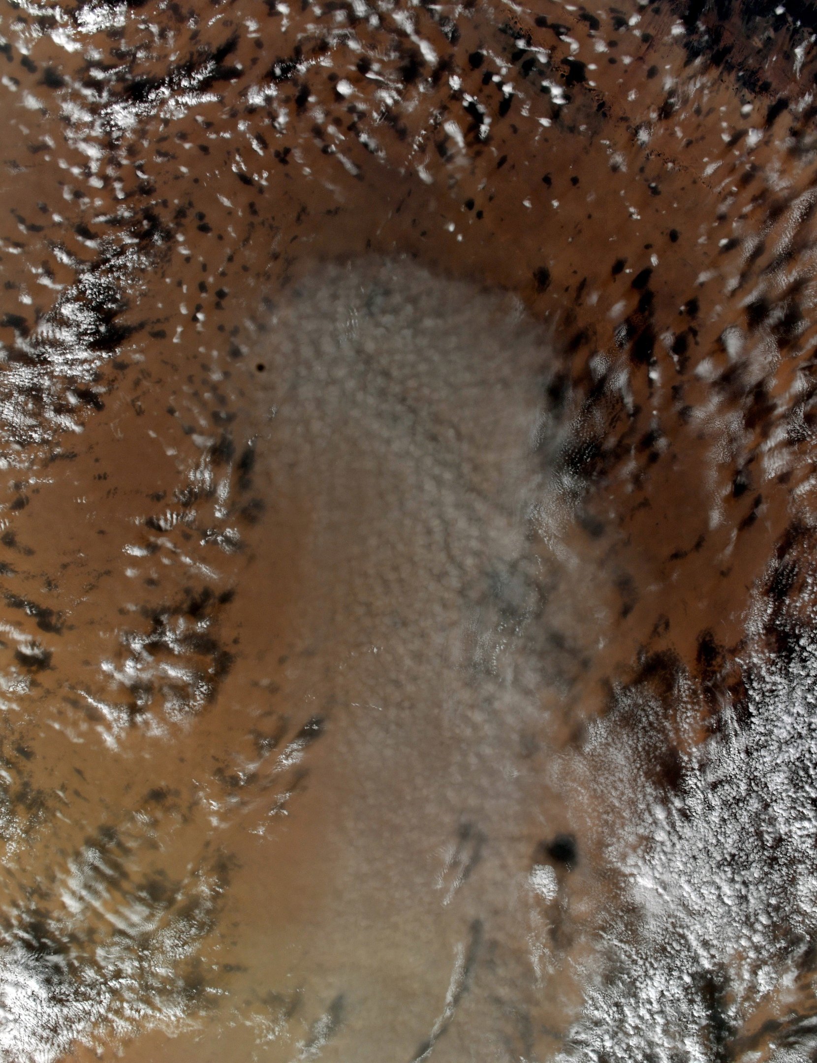
ニジェールは、西アフリカのサハラ砂漠南縁のサヘル地帯に位置する内陸国で、首都はニアメです。国名の由来は、国内を流れるニジェール川に因んでいます。ニジェール (Niger) とナイジェリア(Nigeria) は本来は同じ地域を指していますが、旧宗主国を異にする両地域が別々に独立した際に、現在のように別の国を指すこととなりました。ニジェールの気候は北部に行くほど乾燥しており、北部・中部を中心に国土の5分の4をサハラ砂漠が占めています。南部は全域がサヘル地帯に属しており、ステップ気候 (BSh、砂漠気候からサバナ気候への移行部) です。これにより、サヘル北部は遊牧、中部は天水農業と牧畜、南部は農業が主要な産業となっています。地形は基本的に南に向かうほど標高が低くなりますが、国土中央のアイル山地および北端のリビア国境の山地を除いてはおおむね平坦な地形です。
地上の様子はこちらです。

参考文献: Anton Shkaplerov’s Tweet
地球俯瞰画像を見る: LiVEARTH
[Earthview Wonders] No.1434: Niger🇳🇪
Astronaut Anton Shkaplerov captured from ISS Niger.
Niger is a landlocked country in West Africa named after the Niger River. Over 80% of its land area lies in the Sahara Desert. The country’s predominantly Muslim population of about 22 million live mostly in clusters in the far south and west of the country. The capital and largest city is Niamey. Many of the non-desert portions of the country are threatened by periodic drought and desertification. The economy is concentrated around subsistence agriculture, with some export agriculture in the more fertile south, and export of raw materials, especially uranium ore. Niger faces serious challenges to development due to its landlocked position, desert terrain, inefficient agriculture, high fertility rates without birth control and resulting overpopulation, the poor educational level and poverty of its people, lack of infrastructure, poor healthcare, and environmental degradation.
The local scenery on the ground is as follows.
Reference: Anton Shkaplerov’s Tweet
See earthview photo gallery: LiVEARTH[:]