[:ja]宇宙飛行士がISSから撮影したアルジェリア、ニジェールとの国境付近の、リビアのサハラ砂漠です。遠方に地中海が見えています。
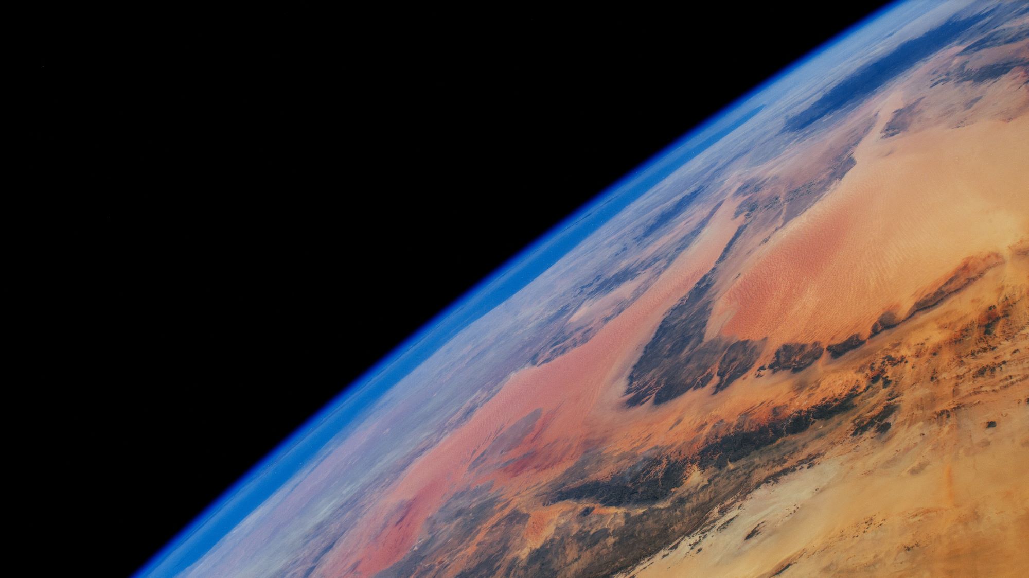
北アフリカのリビアはアフリカ大陸の北部に位置し、地中海に面しています。国土の大部分がサハラ砂漠の一部であり、面積の9割を砂漠が占めています。国土の南部には山脈が走り、トリポリ南方にはナフサ山地が、ベンガジ東方にはアフダル山地が存在します。国土の70%は標高500m以下ですが、地中海を北から南に行くほど標高は高くなり、チャドとの国境付近は標高1,000~2,000mの高原となっています。地中海沿岸の僅かな部分は地中海性気候とステップ気候に属し、気候は温暖ですが、沿岸部も乾燥しており、主要都市でも年間降水量は400mmを越えません。古代リビュアはフェニキア人、カルタゴ、古代ローマ、東ローマ帝国の支配を受けました。7世紀にアラブ人のウマイヤ朝、16世紀のオスマン帝国、カラマンリー朝を経て、第二次世界大戦中には連合国(イギリス)と枢軸国(イタリア、ナチス・ドイツ)の間で激戦が繰り広げられ(北アフリカ戦線)、イタリアの敗戦により、戦後は英仏の共同統治領とされました。
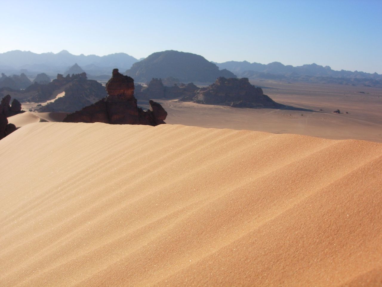
地上の様子はこちらです。
参考文献: Otherworldly Earth (NASA Earth Observatory)
地球俯瞰画像を見る: LiVEARTH
[Earthview Wonders] No.1454: Libya🇱🇾
Astronaut on board ISS captured Libya and Sahara Desert near Algeria and Niger. Mediterranean Sea can see at the far end.
Libya is a predominantly desert country, and up to 90% of the land area is covered in desert. The Libyan Desert, which covers much of Libya, is one of the most arid and sun-baked places on earth. These granite mountains are ancient, having formed long before the sandstones surrounding them. Libya has been inhabited by Berbers since the late Bronze Age as descendants from Iberomaurusian and Capsian cultures. After the Second World War, Libya became independent as a kingdom in 1951. With the discovery of oil in the 1950s also came the discovery of a massive aquifer underneath much of Libya, and the country now has the 10th-largest proven oil reserves of any country in the world.
The local scenery on the ground is as follows.
Reference: Otherworldly Earth (NASA Earth Observatory)
See earthview photo gallery: LiVEARTH[:]