[:ja]NASAの地球観測衛星Landsat 8が撮影したスリランカのシーギリヤ遺跡です。
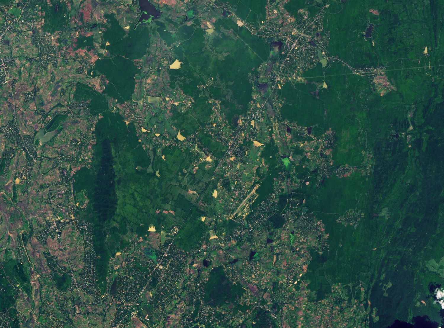
シーギリヤは、スリランカの中部州のマータレーにある遺跡です。シーギリヤの遺跡は、5世紀にカッサパ1世(在位477〜495年)によって建造された要塞化した岩上の王宮跡と、それを取り囲む水路、庭園、貯蔵施設などの都市遺構からなります。岩山の中腹には『シーギリヤ・レディ』として知られるフレスコの女性像が描かれています。当初は500体とも言われましたが、風化が進み現在は18体だけが残っています。シーギリヤロックは火道内のマグマが硬化して出来た岩頸で、形状は楕円柱、標高約370m、岩頸そのものの高さは約195m、全方位が切り立った崖になっています。
地上の様子はこちらです。

参考文献: NASA Earth’s Tweet
地球俯瞰画像を見る: LiVEARTH
[Earthview Wonders] No.1504: Sigiriya, Sri Lanka🇱🇰
NASA’s Landsat 8 satellite captured Sigiriya, Sri Lanka.
Sigiriya or Sinhagiri is an ancient rock fortress located in the northern Matale District near the town of Dambulla in the Central Province, Sri Lanka. It is a site of historical and archaeological significance that is dominated by a massive column of rock approximately 180m high. According to the ancient Sri Lankan chronicle the Culavamsa, this area was a large forest, then after storms and landslides it became a hill and was selected by King Kashyapa (477 – 495 AD) for his new capital. He built his palace on top of this rock and decorated its sides with colourful frescoes. The capital and the royal palace were abandoned after the king’s death. It was used as a Buddhist monastery until the 14th century. Sigiriya today is a UNESCO listed World Heritage Site. It is one of the best preserved examples of ancient urban planning.
The local scenery on the ground is as follows.
Reference: NASA Earth’s Tweet
See earthview photo gallery: LiVEARTH[:]