[:ja]野口聡一宇宙飛行士がISSから撮影したフィリピンのパラワン島です。
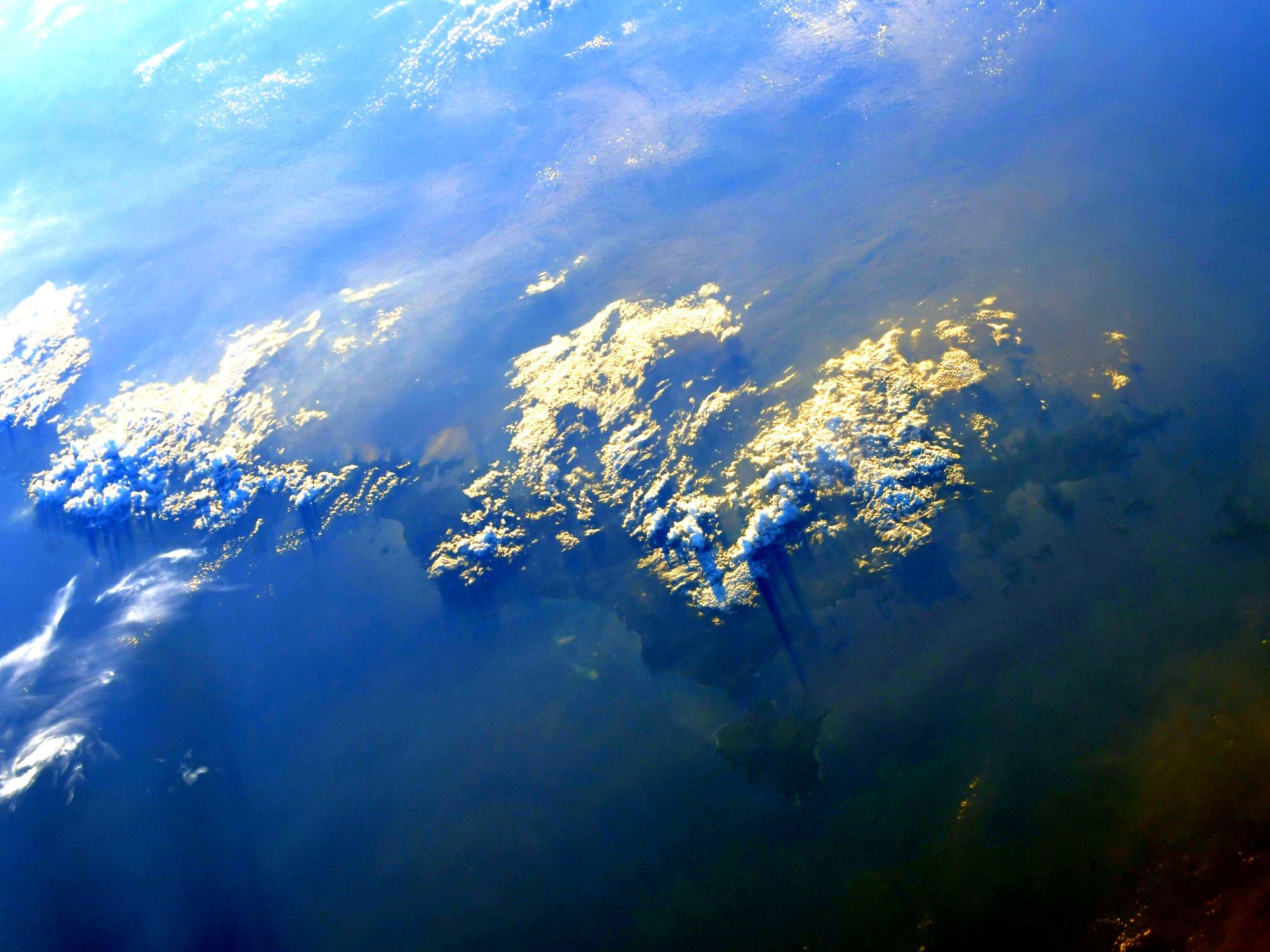
パラワン島はフィリピンの南西部にある南北397km・東西平均約40kmと極端に長細い島です。熱帯雨林・密林に覆われた高い山岳地帯が島の大半を占め、南部のマンタリンガハン山(標高2,086m)が最高峰です。「フィリピン最後のフロンティア」などとも呼ばれる秘境で、生態系がよく残っており、エコツーリズムの対象ともなっています。プエルト・プリンセサ地底河川国立公園やトゥバタハ岩礁海中公園が世界遺産に登録されています。パラワン島の主な産業は農業、漁業で、林業は重要な産業であったが、1992年以来保護のため禁止されています。鉱業は21世紀に入っても盛んであり、ニッケルなどの採掘を目的として400を超える鉱山開発申請が行われています。
地上の様子はこちらです。

参考文献: Soichi Noguchi’s Tweet
地球俯瞰画像を見る: LiVEARTH
[Earthview Wonders] No.1516: Palawan, Philippines🇵🇭
Astronaut Soichi Noguchi captured from ISS Palawan Island, Philippines.
Palawan is the fifth-largest island of the Philippines. Much of the island remains traditional and is considered by some as under-developed. Abundant wildlife, jungle mountains, and some white sandy beaches attract many tourists. As of 2016, the main island of Palawan was rated the “Most Beautiful Island in the World” as voted by respective readers of rival travel publications Conde Nast Traveller and Travel + Leisure. The entire length of the island forms a mountain range, with a peak altitude of 2,086m at Mount Mantalingajan.
The local scenery on the ground is as follows.
Reference: Soichi Noguchi’s Tweet
See earthview photo gallery: LiVEARTH[:]