[:ja]野口聡一宇宙飛行士がISSから撮影したグリーンランドの南端です。
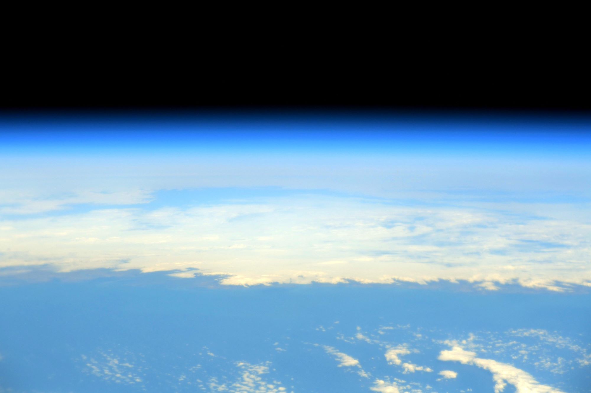
グリーンランドは、北極海と北大西洋の間に位置する、世界最大の島です。かつてはデンマークの植民地で、現在はデンマーク本土やフェロー諸島と対等の立場でデンマーク王国を構成しており、独自の自治政府が置かれています。当該島は大部分が北極圏に属し、北部沿岸の北極海にある小島オーダークやそのさらに北方で2021年に確認された岩礁は北極点に最も近い、すなわち世界最北の陸地です。地理学上、アメリカ州の一部として分けられることもあります。グリーンランドの人口は約5万7000人でその7割をグリーンランダー(北欧系とイヌイットのミックス)が占めています。全島の約80%以上は氷床と万年雪に覆われています。巨大なフィヨルドが多く、氷の厚さは3,000m以上に達する所もあり、居住区は沿岸部に限られています。デンマーク語ではグレーンランド(Grønland)と発音し、「緑の島」を意味します。命名したのはノルウェー生まれでアイスランドのヴァイキング「赤毛のエイリーク」で、彼が命名したアイスランドは、その名称故に入植希望者が現れなかったので、この地に入植希望者が多数現れることを願い、「緑の島」と名付けたと言われています。
地上の様子はこちらです。

参考文献: Soichi Noguchi’s Tweet
地球俯瞰画像を見る: LiVEARTH
[Earthview Wonders] No.1538: Greenland🇬🇱
Astronaut Soichi Noguchi captured from ISS the southern tip of Greenland.
Greenland is the world’s largest island, and belongs to Denmark. Though physiographically a part of North America, Greenland has been politically and culturally associated with Europe for more than a millennium, beginning in 986. The majority of its residents are Inuit, whose ancestors migrated from Alaska through Northern Canada, gradually settling across the island by the 13th century. Three-quarters of Greenland is covered by the permanent ice sheet, and today, 56,000 population is concentrated mainly on the southwest coast. The Norwegian-born Icelander Erik the Red was said to have discovered this habitable island and named it Grœnland (translated as “Greenland”), supposedly in the hope that the pleasant name would attract settlers. In 1979, Denmark granted home rule to Greenland; in 2008, Greenlanders voted in favour of the Self-Government Act, which transferred more power from the Danish government to the local Greenlandic government.
The local scenery on the ground is as follows.
Reference: Soichi Noguchi’s Tweet
See earthview photo gallery: LiVEARTH[:]