[:ja]野口聡一宇宙飛行士がISSから撮影したペルーのマチュピチュ遺跡です。画像中央付近雲の下に少し見えています。
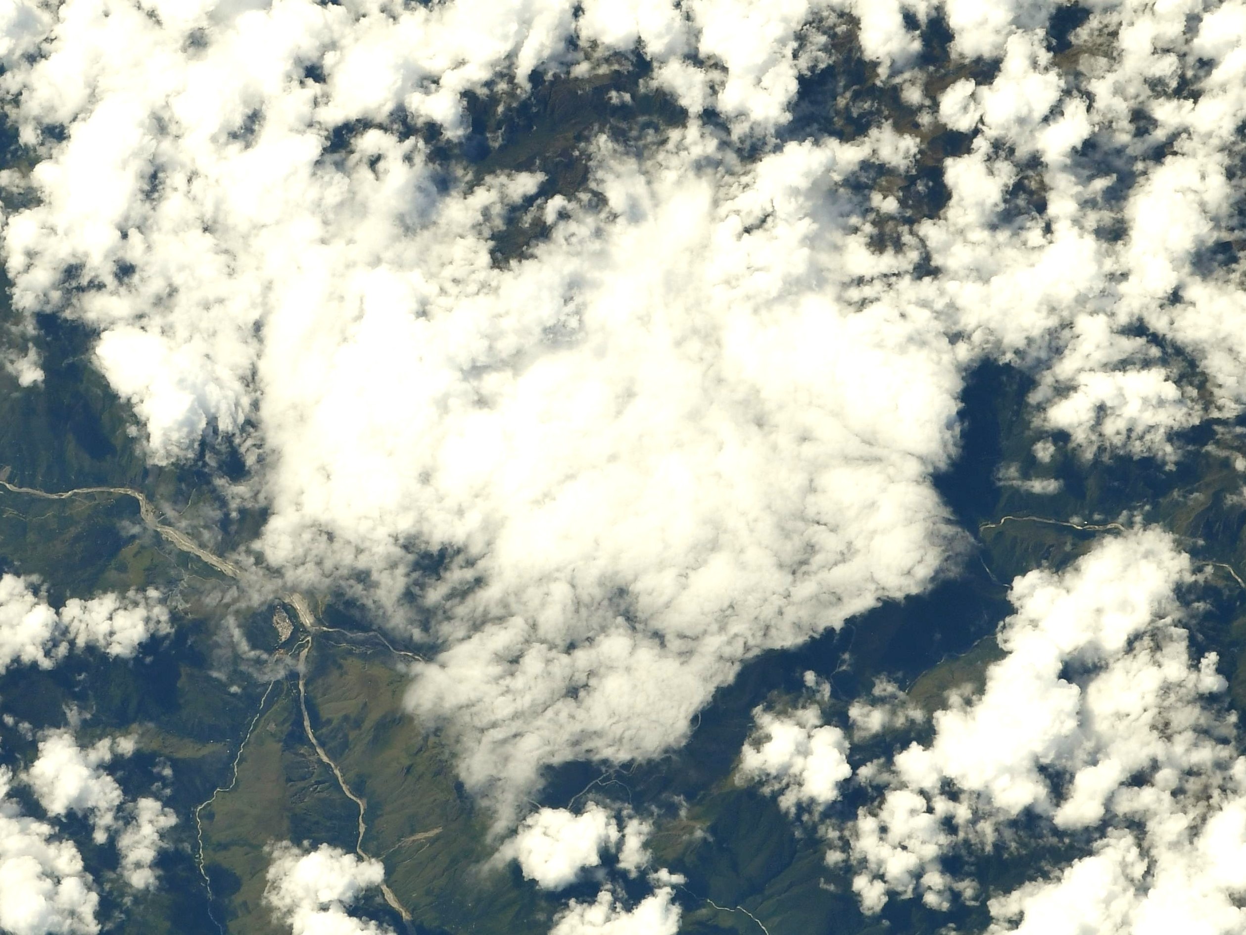
マチュ・ピチュは15世紀のインカ帝国の遺跡で、アンデス山麓に属するペルーのウルバンバ谷に沿った山の尾根(標高2,430m)にあります。当時、インカ帝国の首都はクスコで、標高3,400mに位置しており、標高2,430mのマチュ・ピチュから、さらに約1,000メートル高い場所にその首都がありました。インカ帝国は1533年にスペイン人による征服により滅亡しましたが、アンデス文明は文字を持たないため、マチュ・ピチュの遺跡が何のために作られたのか、首都クスコとの関係・役割分担などの理由はまだ明確には分かっていません。
地上の様子はこちらです。

参考文献: Soichi Noguchi’s Tweet
地球俯瞰画像を見る: LiVEARTH
[Earthview Wonders] No.1542: Machu Pichu🇵🇪
Astronaut Soichi Noguchi captured from ISS Machu Picchu, Peru. It is slightly shown just between the clouds near the center of the image.
Machu Picchu is a 15th-century Inca citadel on a 2430m mountain ridge, located 80km northwest of Cuzco. Most archaeologists believe that Machu Picchu was constructed as an estate for the Inca emperor Pachacuti (1438-1472). Machu Picchu was built in the classical Inca style with polished dry-stone walls, and is the most familiar icon of Inca civilization. The Incas built the estate around 1450 but abandoned it a century later at the time of the Spanish conquest. Although known locally, it was not known to the Spanish during the colonial period and remained unknown to the outside world until American historian Hiram Bingham brought it to international attention in 1911.
The local scenery on the ground is as follows.
Reference: Soichi Noguchi’s Tweet
See earthview photo gallery: LiVEARTH[:]