[:ja]トマ・ペスケ宇宙飛行士がISSから撮影したフランスのセーヌ=マリティーム県です。
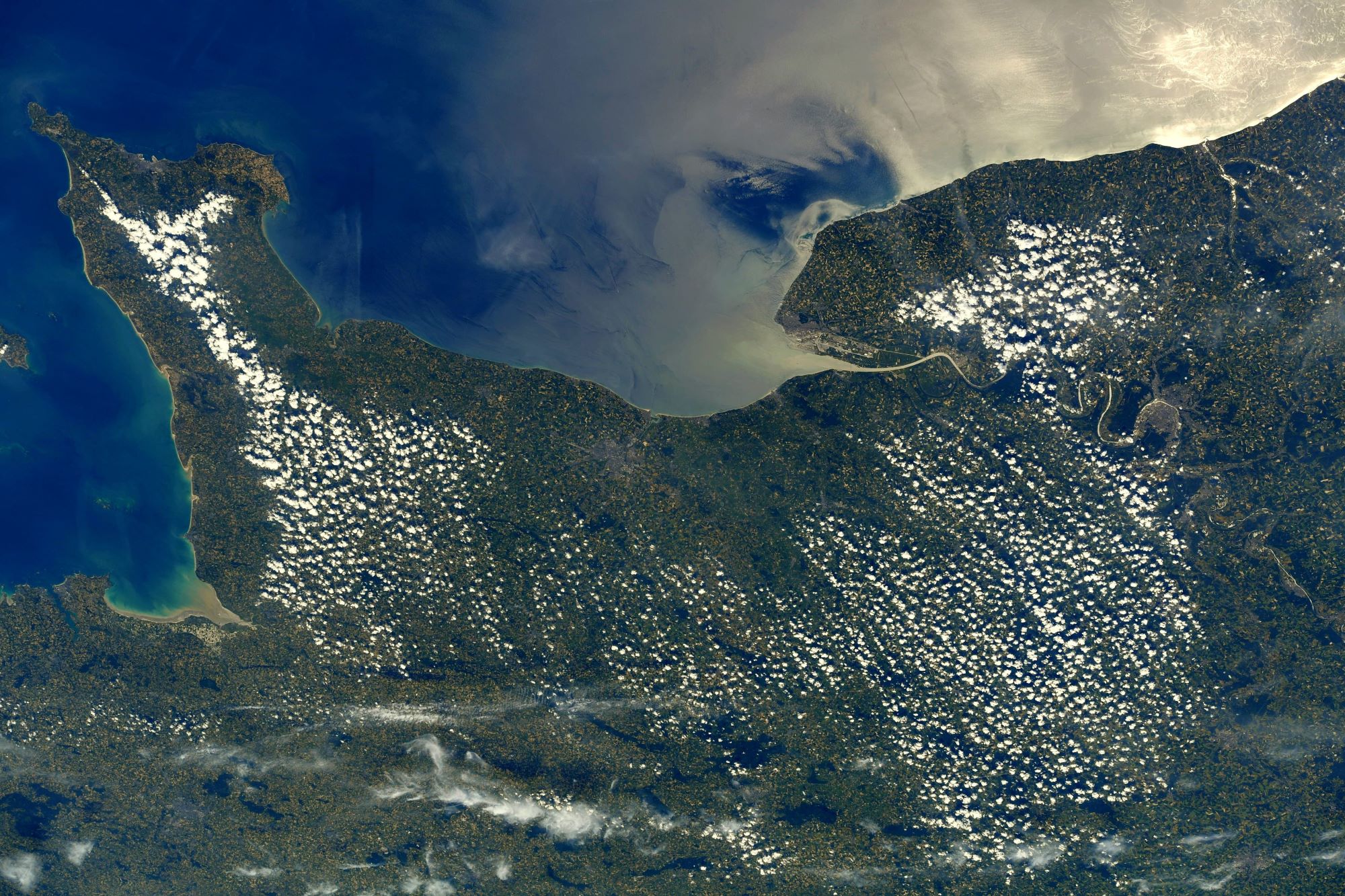
セーヌ=マリティームは、フランスのノルマンディー地域圏の県で、セーヌ河口を持ちイギリス海峡に面しています。県内にはチョーク質の平野であるコー地方を抱えています。セーヌ=マリティーム県は海洋性気候ですが、海岸部と内陸部とでは気温が違います。冬期の気温は、県東部より海岸部が温暖である一方、夏期には反対に海岸部が涼しくなります。標高の高いブレー地方では、冬期に降雪を記録することが知られています。南西風または西風が主流です。秋と冬にはこれらの風が嵐をもたらし、県全体として年間降雨量が多くなっています。また、経済としては、第三次産業が7割を占めます。セーヌ川谷工業地帯を持ち、ルーアン、ル・アーヴル(フランス第一位のコンテナ港)、リールボンヌが代表的な工業都市です。
ディエップ歴史地区の地上の様子はこちらです。

参考文献: Thomas Pesquet’s Tweet
地球俯瞰画像を見る: LiVEARTH
[Earthview Wonders] No.1583: Seine-Maritime, France🇫🇷
Astronaut Thomas Pesquet captured from ISS Seine-Maritime, France.
Seine-Maritime is a department of France in the Normandy region of northern France. It is on the northern coast of France, at the mouth of the Seine, and includes the cities of Rouen and Le Havre. The department can be split into 3 main areas: the Seine valley, the chalk plateau Pays de Caux, and the Norman Pays de Bray.
The local scenery on the ground of Dieppe is as follows.
Reference: Thomas Pesquet’s Tweet
See earthview photo gallery: LiVEARTH[:]