[:ja]NASAの地球観測衛星Terraが撮影したベネズエラのギアナ高地とカナイマ国立公園です。
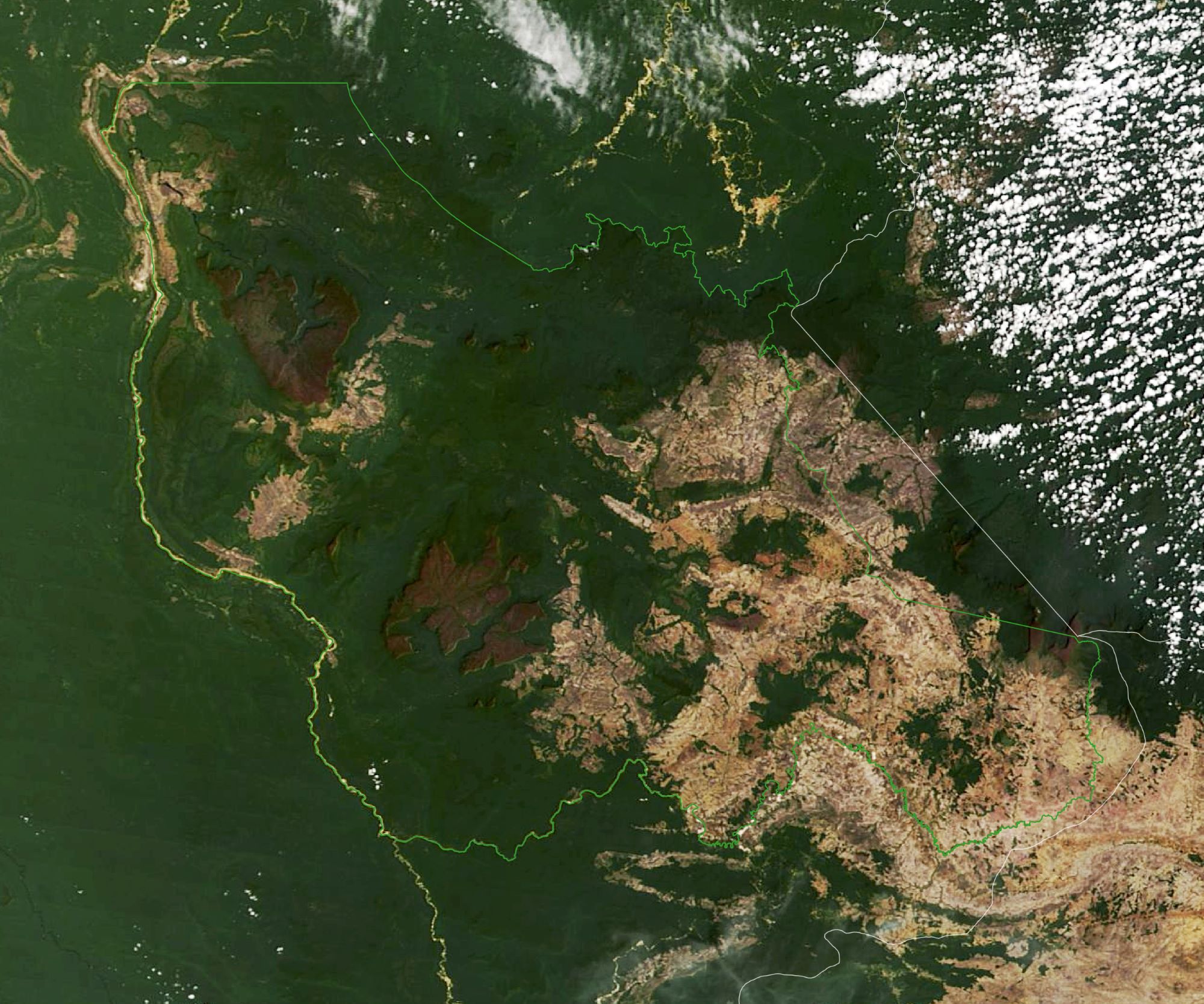
カナイマ国立公園は1994年、ユネスコの世界遺産(自然遺産)として登録されています。未だに人類未踏の場所が点在し、世界最後の秘境ともいわれ、原始的な特徴を持つ固有の動植物が生息し、独自の生態系を形成しています。テーブルマウンテンが大小100余りジャングルに浮かぶ一帯があり、ギアナ高地と呼ばれています。この地帯は、プレートテクトニクスの影響をほとんど受けていないため、約20億年前の地質がそのまま残っていると考えられています。公園の北西部には、2,000m級のテーブルマウンテンが連なり、アウヤンテプイがあります。ここには世界最大の落差979mをもつエンジェルフォールもあります。一帯は典型的な熱帯気候で、カリブ海からの湿った風がギアナ高地に吹き込んでおり、一帯にジャングルを形成しています。常に、ジャングルの上に雲が浮かび、衛星写真で地形を把握することが困難とも言われています。
地上の様子はこちらです。

参考文献: NASA Earth’s Tweet
地球俯瞰画像を見る: LiVEARTH
[Earthview Wonders] No.1592: Guiana Shield and Canaima National Park🇻🇪
NASA’s Terra satellite captured Guiana Shield and Canaima National Park, Venezuela.
Canaima National Park is a 30,000km2 park in south-eastern Venezuela that roughly occupies the same area as the Gran Sabana region. In 1994, it was named a World Heritage Site by UNESCO, as a natural reserve that has abrupt relief special and unique around the world, the tepuis. About 65% of the park is occupied by plateaus of rock called tepuis, which are a kind of table-top mountain millions of years old, with vertical walls and almost flat tops. These constitute a unique biological environment and are also of great geological interest. Their sheer cliffs and waterfalls (including Angel Falls, which is the highest waterfall in the world, at 979m create spectacular landscapes. The most famous tepuis in the park are Mount Roraima, the tallest and easiest to climb, and Auyantepui, the site of Angel Falls.
The local scenery on the ground is as follows.
Reference: NASA Earth’s Tweet
See earthview photo gallery: LiVEARTH[:]