[:ja]トマ・ペスケ宇宙飛行士がISSから撮影したアルゼンチンのアコンカグアです。
標高6960.8mのアコンカグアは、アンデス山脈にある南米最高峰の山で、アジア州以外、南半球での最高峰でもあります。アルゼンチンとチリとの国境付近のアルゼンチン側にあります。初登頂は、1897年1月14日、スイス人ガイドのマティアス・ツールブリッゲンによるものです。毎年3500人以上が入山する。およそ80 %がノーマルルートを登り、15 %がポーランド・トラバースルート(北東面から途中でノーマルルートに移る)を登ります。高度順応が上手くいかなかったり、ビエント・ブランコ(白い嵐)と呼ばれるアンデス地方特有の悪天候に見舞われると行動困難に陥るため、実際の登頂成功率は入山者の3割ほどとされています。
地上の様子はこちらです。

参考文献: Thomas Pesquet’s Tweet
地球俯瞰画像を見る: LiVEARTH
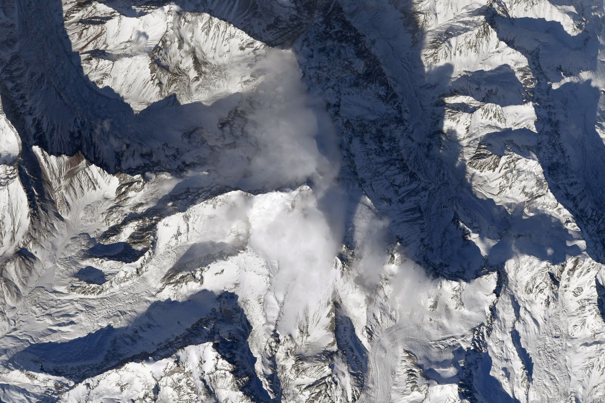
[Earthview Wonders] No.1607: Aconcagua🇦🇷
Astronaut Thomas Pesquet captured from ISS Aconcagua, Argentina.
Aconcagua with 6,961m elevation is a mountain in the Principal Cordillera of the Andes mountain range, in Mendoza Province, Argentina. It is the highest mountain in the Americas, the highest outside Asia, and the highest in the Southern Hemisphere. The mountain has a number of glaciers. The largest glacier is the Ventisquero Horcones Inferior at about 10km long, which descends from the south face to about 3,600m in altitude near the Confluencia camp.
The local scenery on the ground is as follows.
Reference: Thomas Pesquet’s Tweet
See earthview photo gallery: LiVEARTH
[:]