[:ja]シェーン・キンブロー宇宙飛行士がISSから撮影したセネガルのサン=ルイです。
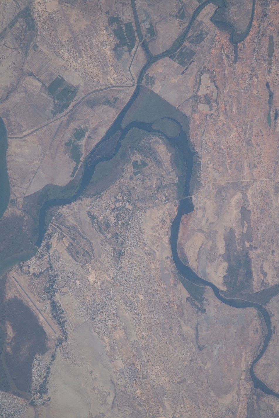
サン=ルイ(Saint-Louis)は、セネガルの北西部に位置するサンルイ州の州都で、セネガル川の河口に位置しています。ウォロフ語では『ンダール』(Ndar)と呼ばれています。1659年フランスによって建設され、1673年にフランス領セネガルの首都、1895年にはフランス領西アフリカの首都となりましたが、1902年にいずれもダカールに遷されました。1885年、ダカールと鉄道で結ばれ、この鉄道は今も稼働中です。セネガル第二の国立大学であるガストン・ベルジェ大学があります。
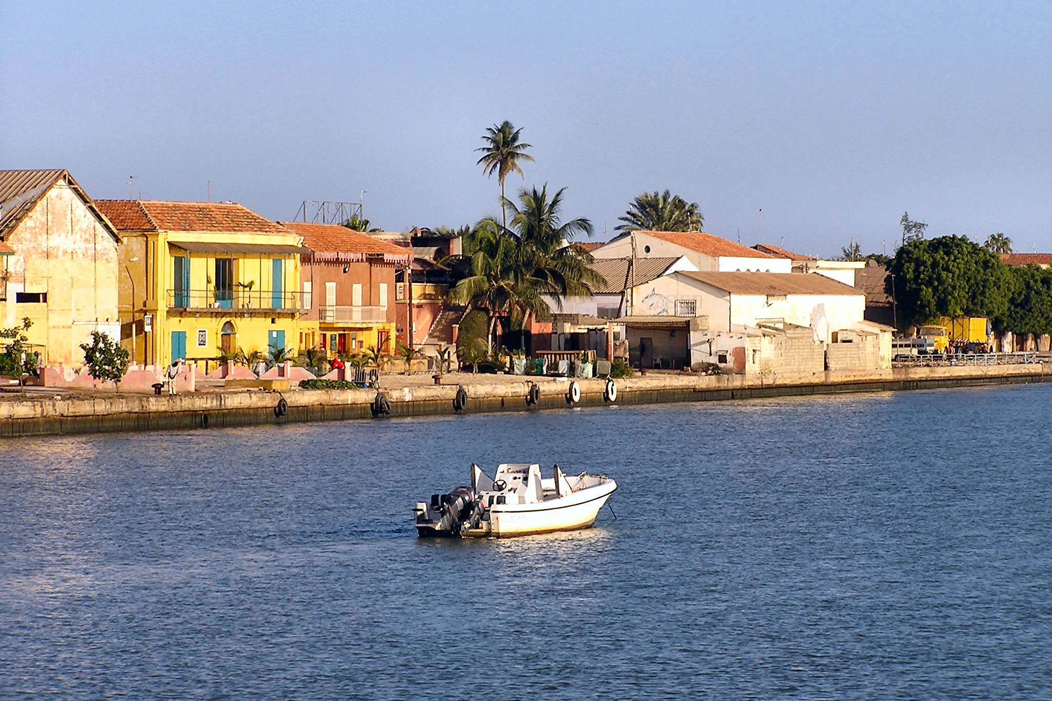
地上の様子はこちらです。
参考文献: Shane Kimbrough’s Tweet
地球俯瞰画像を見る: LiVEARTH
[Earthview Wonders] No.1618: Saint-Louis, Senegal🇸🇳
Astronaut Shane Kimbrough captured from ISS Saint-Louis, Senegal.
Saint Louis or Saint-Louis, known to locals as Ndar, is the capital of Senegal’s Saint-Louis Region. Located in the northwest of Senegal, near the mouth of the Senegal River, and 320 km north of Senegal’s capital city Dakar, it has a population officially estimated at 258,592 in 2021. The town was an important economic center during French West Africa, but it is less important now. However it still has important industries, including tourism, a commercial center, a center of sugar production, and fishing. The Tourism industry is in part due to the city being listed as a UNESCO World Heritage Site in 2000. However, the city is also vulnerable to climate change—where sea level rise is expected to threaten the city center and potential damage historical parts of the city.
(Credit: Shane Kimbrough, NASA)
The local scenery on the ground is as follows.
Reference: Shane Kimbrough’s Tweet
See earthview photo gallery: LiVEARTH[:]