[:ja]イワン・ワグナー宇宙飛行士がISSから撮影したチリのアタカマ塩原です。
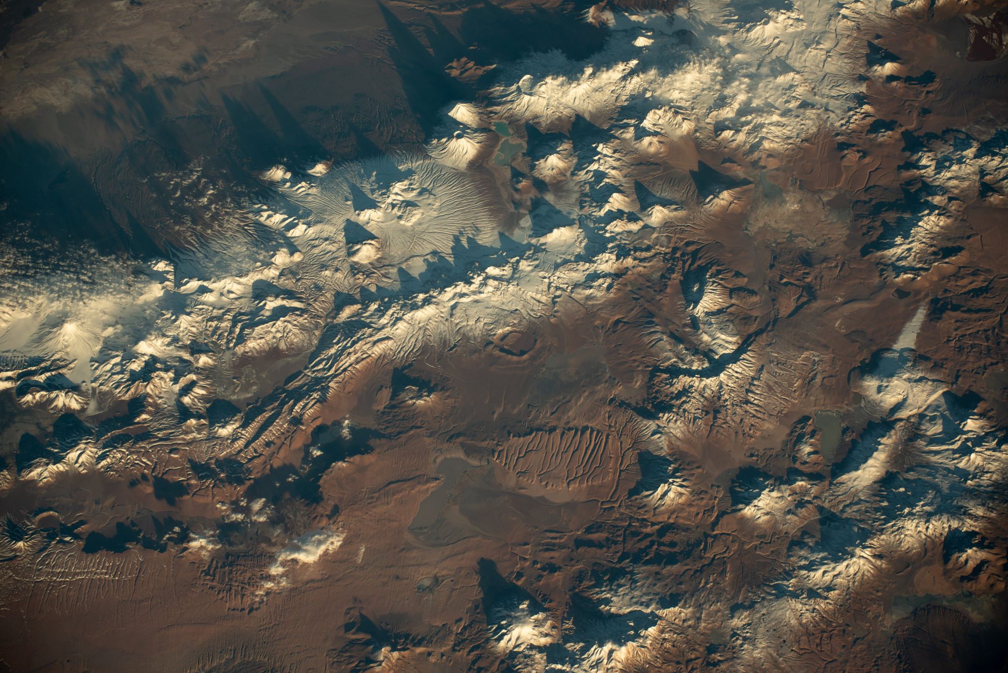
アタカマ塩原は、チリ最大の塩類平原で、一般に「アタカマ塩湖」とも呼ばれます。東はアンデス山脈の主山脈、西はアンデス山脈の第2山脈であるドメイコ山脈が連なっており、山々に囲まれていて外部へ水が流出できません。この塩類平原はボリビアのウユニ塩原に次ぎ、南米で2番目に大きく、同時に世界でも2番目の大きさでもあります。この平原の中心部分は非常に起伏のある土地ですが、これは定期的に少量の雨が降るウユニ塩原のような他の塩類平原とは異なり、この地域に永続的に水がないためです。また、アタカマ塩原のリチウム埋蔵量は全世界の27%にもおよびます。同じ南米にあるウユニ塩原、リンコン塩原と合わせると全世界の8割を占め、電気自動車の充電式電池として使用されるリチウムイオン電池の原料生産地として世界的に注目を浴びています。
地上の様子はこちらです。


参考文献: Ivan Vagner’s Tweet
地球俯瞰画像を見る: LiVEARTH
[Earthview Wonders] No.1659: Salar de Atacama🇨🇱
Astronaut Ivan Vagner captured from ISS Salar de Atacama, Chile.
Salar de Atacama is the largest salt flat in Chile. It is surrounded by mountains, and has no drainage outlets. In the east it is enclosed by the main chain of the Andes, while to the west lies a secondary mountain range of the Andes called Cordillera de Domeyko. Large volcanoes dominate the landscape, including the Licancabur, Acamarachi, Aguas Calientes and the Láscar. The last is one of the most active volcanoes in Chile. All of them are located along the eastern side of the Salar de Atacama, forming a generally north-south trending line of volcanoes that separate it from smaller endorheic basins. Located in the Lithium Triangle, Salar de Atacama is the world’s largest and purest active source of lithium, containing 27% of the world’s lithium reserve base.
The local scenery on the ground is as follows.
Reference: Ivan Vagner’s Tweet
See earthview photo gallery: LiVEARTH[:]