[:ja]NASAの地球観測衛星Landsat 9が撮影した米カリフォルニア州ヨセミテ国立公園の冬の到来です。
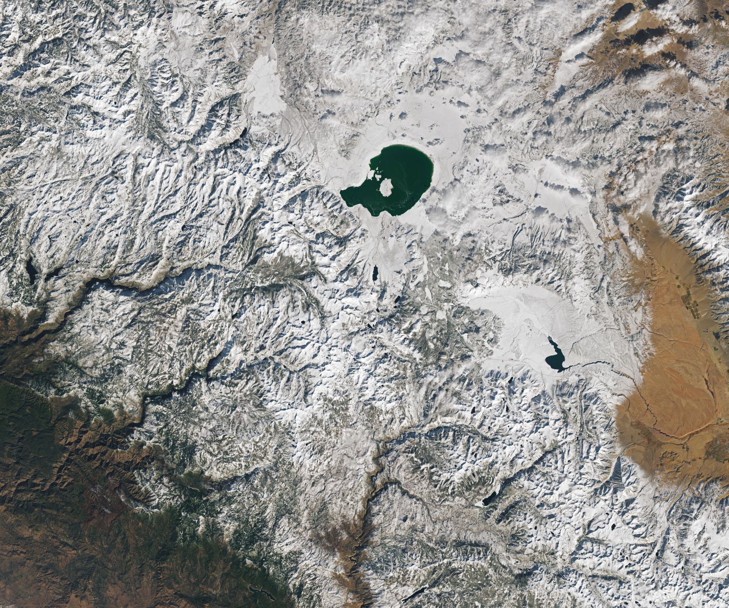
ヨセミテ国立公園自然保護を目的とした国立公園で、1984年、ユネスコの世界遺産(自然遺産)に登録されました。そこに住んでいたネイティブアメリカンの部族の呼称から名づけられました。公園はシエラネバダ山脈の西山麓に広がっていますが、年間430万人以上の観光客のほとんどが公園全体の1%にも満たないヨセミテ渓谷(約18km2)に集まります。1984年に世界遺産に登録され、そそり立つ白い花崗岩の絶壁、そこを流れ落ちる多くの巨大な滝、谷や木々の間を流れる澄んだ大小の川、ジャイアントセコイアの巨木の林、生物学的な多様性が世界的に知られることとなりました。ヨセミテを地質学的に見ると、花崗岩が大部分を覆い、それより古い岩石が残りの部分を占めています。
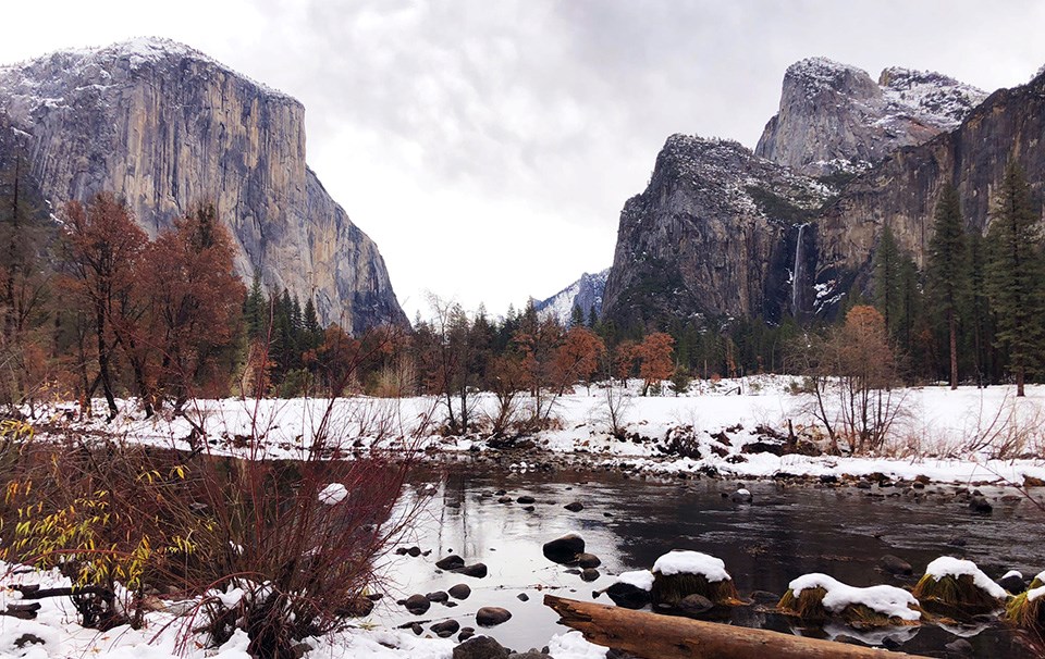
地上の様子はこちらです。
参考文献: ‘s Tweet
地球俯瞰画像を見る: LiVEARTH
[Earthview Wonders] No.1683: Yosemite National Park🇺🇸
NASA’s Landsat 9 satellite captured the winter arrival of Yosemite National Park, California, U.S.
Yosemite National Park is surrounded on the southeast by Sierra National Forest and on the northwest by Stanislaus National Forest. Yosemite is one of the largest and least fragmented habitat blocks in the Sierra Nevada, and the park supports a diversity of plants and animals. The geology of the Yosemite area is characterized by granite rocks and remnants of older rock. European American settlers first entered Yosemite Valley itself in 1851. Yosemite was critical to the development of the national park idea.
The local scenery on the ground is as follows.
Reference: ‘s Tweet
See earthview photo gallery: LiVEARTH[:]