[:ja]宇宙飛行士が中国の天宮号宇宙ステーションから撮影したオマーン沖のホルムズ海峡です。
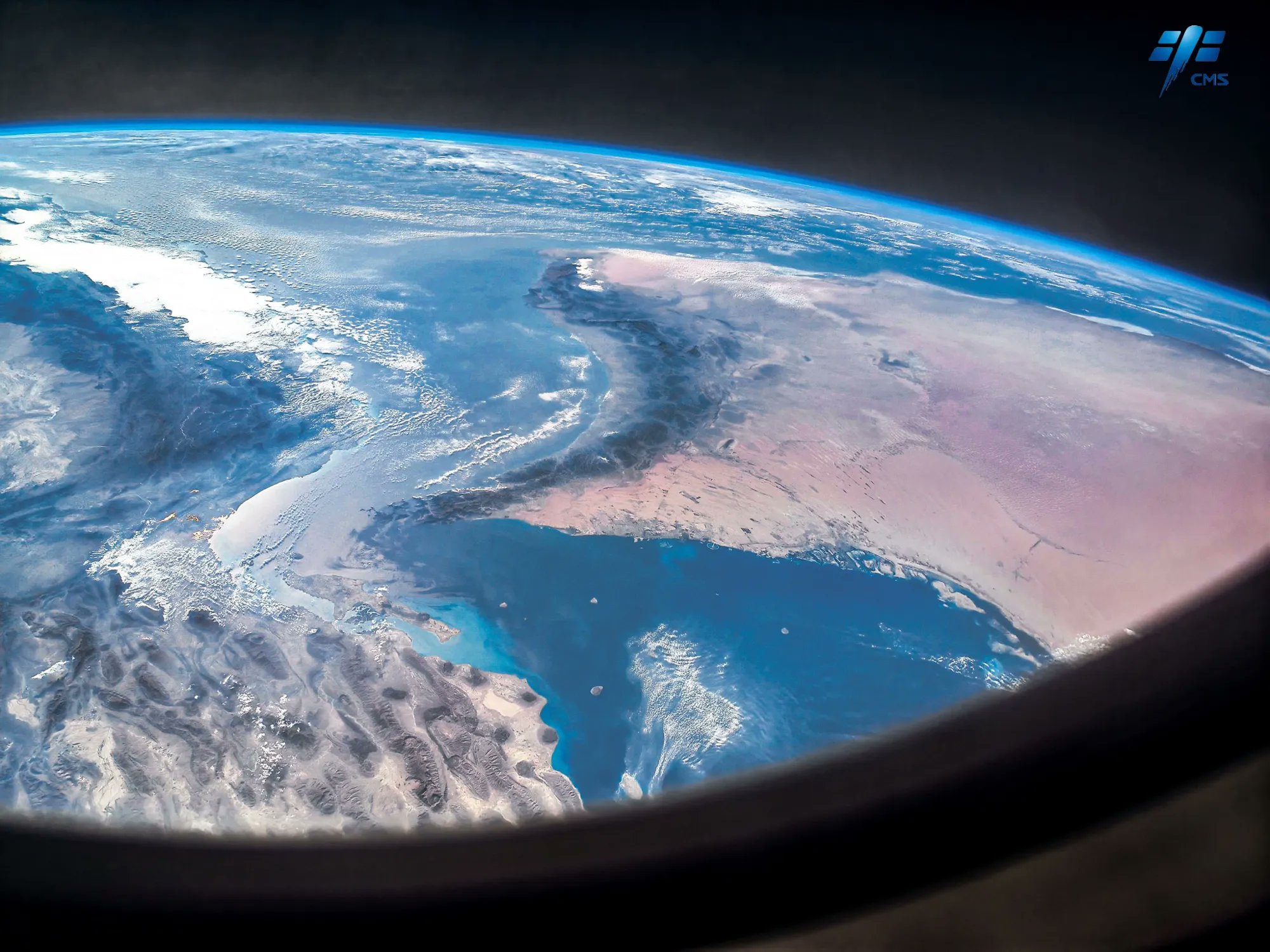
ホルムズ海峡は、ペルシア湾とオマーン湾の間にある海峡で、北にイラン、南にオマーンの飛び地に挟まれています。水深75~100m、最も狭いところでの幅は約33kmで、イラン本土近傍のゲシュム島やホルムズ島をはじめとして、複数の島が海峡内にあります。かつてこの付近にはホルムズ王国があり、15世紀に明の鄭和が寄航した「忽魯謨斯」の比定地とされています。ホルムズ海峡はペルシア湾沿岸諸国で産出する石油の重要な搬出路であり、毎日1700万バレルの石油をタンカーが運びます。
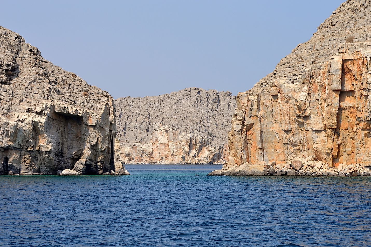
地上の様子はこちらです。
参考文献: CNSA’s Tweet
地球俯瞰画像を見る: LiVEARTH
[Earthview Wonders] No.1728: Strait of Hormuz
Astronaut on board Chinese space station Tiangong captured the Hormuz Strait off the coast of Oman.
The Strait of Hormuz is a strait between the Persian Gulf and the Gulf of Oman. It provides the only sea passage from the Persian Gulf to the open ocean and is one of the world’s most strategically important choke points. On the north coast lies Iran, and on the south coast lies the Musandam peninsula, shared by the United Arab Emirates and Musandam Governorate, an exclave of Oman. The strait is about 167km long, with a width varying from about 39-96km. A third of the world’s liquefied natural gas and almost 25% of total global oil consumption passes through the strait, making it a highly important strategic location for international trade.
The local scenery on the ground is as follows.
Reference: CNSA’s Tweet
See earthview photo gallery: LiVEARTH[:]