[:ja]NASAの地球観測衛星Landsat 8が撮影した台湾の亀山島です。
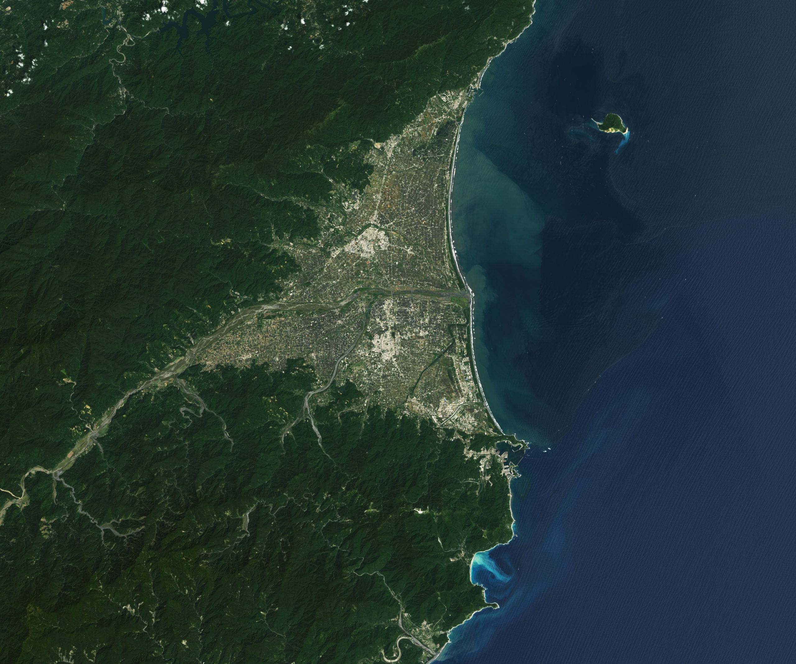
亀山島(きさんとう)は、東西約3.3km、南北約1.7kmの台湾の火山島で、台湾本島の東沖約10kmに位置しています。太平洋上に浮かぶ姿が亀に似ていることより命名されました。最後に噴火したのは1785年前後であり、現在でも温泉や硫黄の噴出などの火山活動が存在する活火山です。島の周囲には切り立った崖が多く、海蝕洞も多いです。また島内には亀首湖と亀尾湖という湖があり、特殊な生態系が確認されているほか、温泉、冷泉もあります。政府は、1999年12月22日に亀山島の観光化を一部認可、2000年8月1日より観光客の全面的受け入れを開始すると共に、東北角海岸国家風景区に指定しました。現在は頭城鎮烏石港からの定期航路が設けられています。
地上の様子はこちらです。

参考文献: NASA Earth’s Tweet
地球俯瞰画像を見る: LiVEARTH
[Earthview Wonders] No.1736: Guishan Island🇹🇼
NASA’s Landsat 8 captured Guishan Island, Taiwan.
Guishan Island (or Kweishan Island, Kueishan Island), Yilan County, Taiwan, is located 9.1km east of Taiwan Mainland. The island’s name is derived from the resemblance of the topography of the island to that of a turtle. The island is a dormant volcano that last erupted on 1785. Endemic species of crab, Xenograpsus testudinatus feeds on sulfur and lives around underwater hot springs of the island. Before going to the island, visitor numbers have to be reviewed to see which day is available for registration. (Credit: NASA)
The local scenery on the ground is as follows.
Reference: NASA Earth’s Tweet
See earthview photo gallery: LiVEARTH[:]