[:ja]野口聡一宇宙飛行士がISSから撮影したサイパン島です。
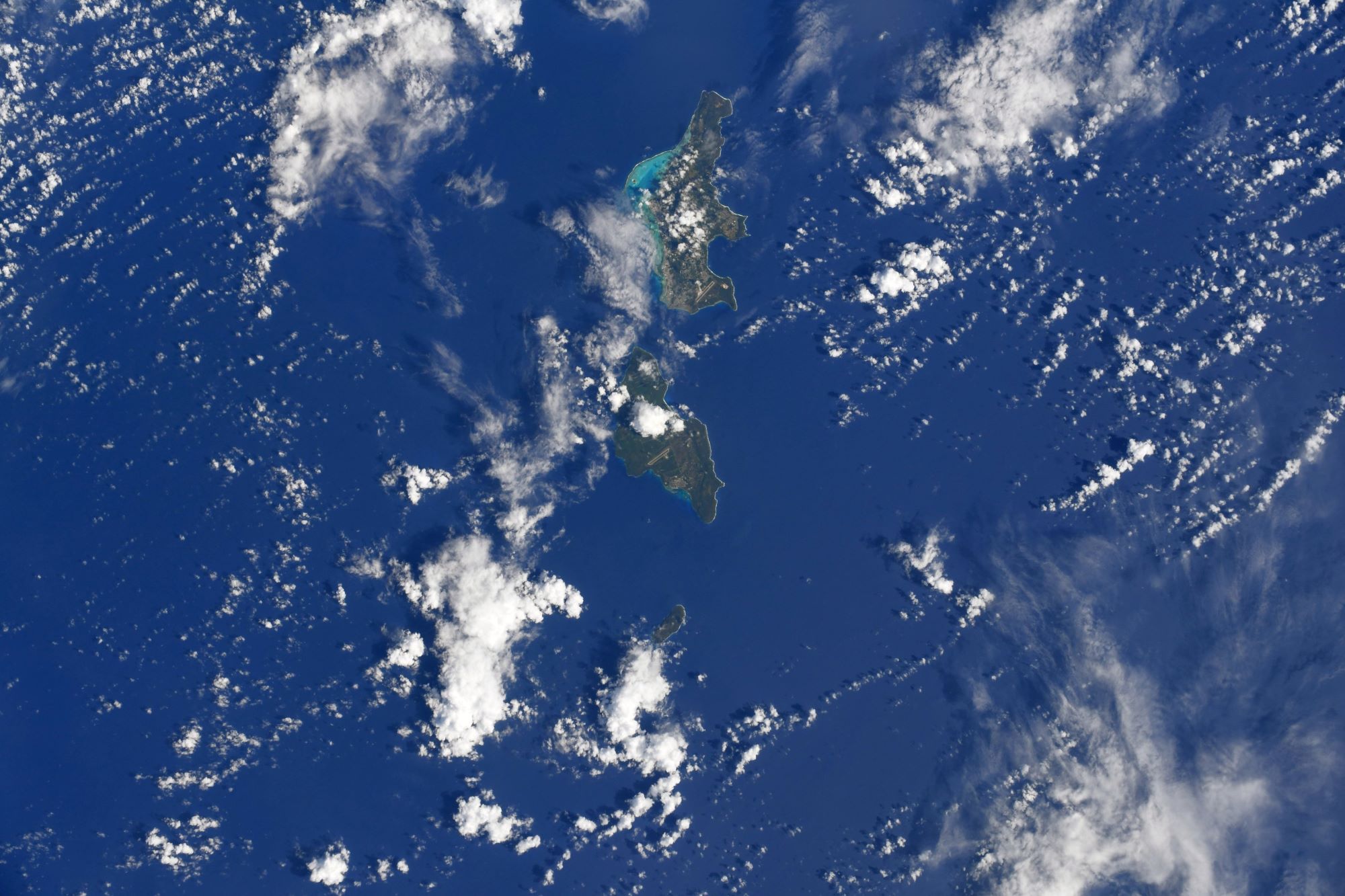
サイパン島は、アメリカ合衆国の自治領である北マリアナ諸島の中心的な島で、人口は約43,000人です。北マリアナ諸島の政治・経済の中心地で、主都ススペや最大都市ガラパンも同島にあります。サイパン島を含む北マリアナ諸島は、小笠原諸島の南方、世界で最も深いマリアナ海溝の近くに位置しています。透き通った海水とサンゴ礁(ラグーン)に囲まれたリゾート地で、日本から最も近い英語圏です。付属島としてマニャガハ島があります。サイパン島の北にはファラリョン・デ・メディニラ島、南にはサイパン海峡を挟んでテニアン島、ロタ島があります。島の最高所は、タポーチョ山の473mです。
地上の様子はこちらです。

参考文献: Soichi Noguchi’s Tweet
地球俯瞰画像を見る: LiVEARTH
[Earthview Wonders] No.1754: Saipan
Astronaut Soichi Noguchi captured from ISS Saipan.
Saipan with 43,000 population is the largest island of the Northern Mariana Islands, a commonwealth of the United States in the western Pacific Ocean. Saipan has a borderline tropical rainforest climate (Köppen Af)/tropical monsoon climate (Köppen Am), moderated by seasonal trade winds from the northeast from November to March, and easterly winds from May to October. Tourism had traditionally been a vital source of the island’s revenue and economic activities.
The local scenery on the ground is as follows.
Reference: Soichi Noguchi’s Tweet
See earthview photo gallery: LiVEARTH[:]