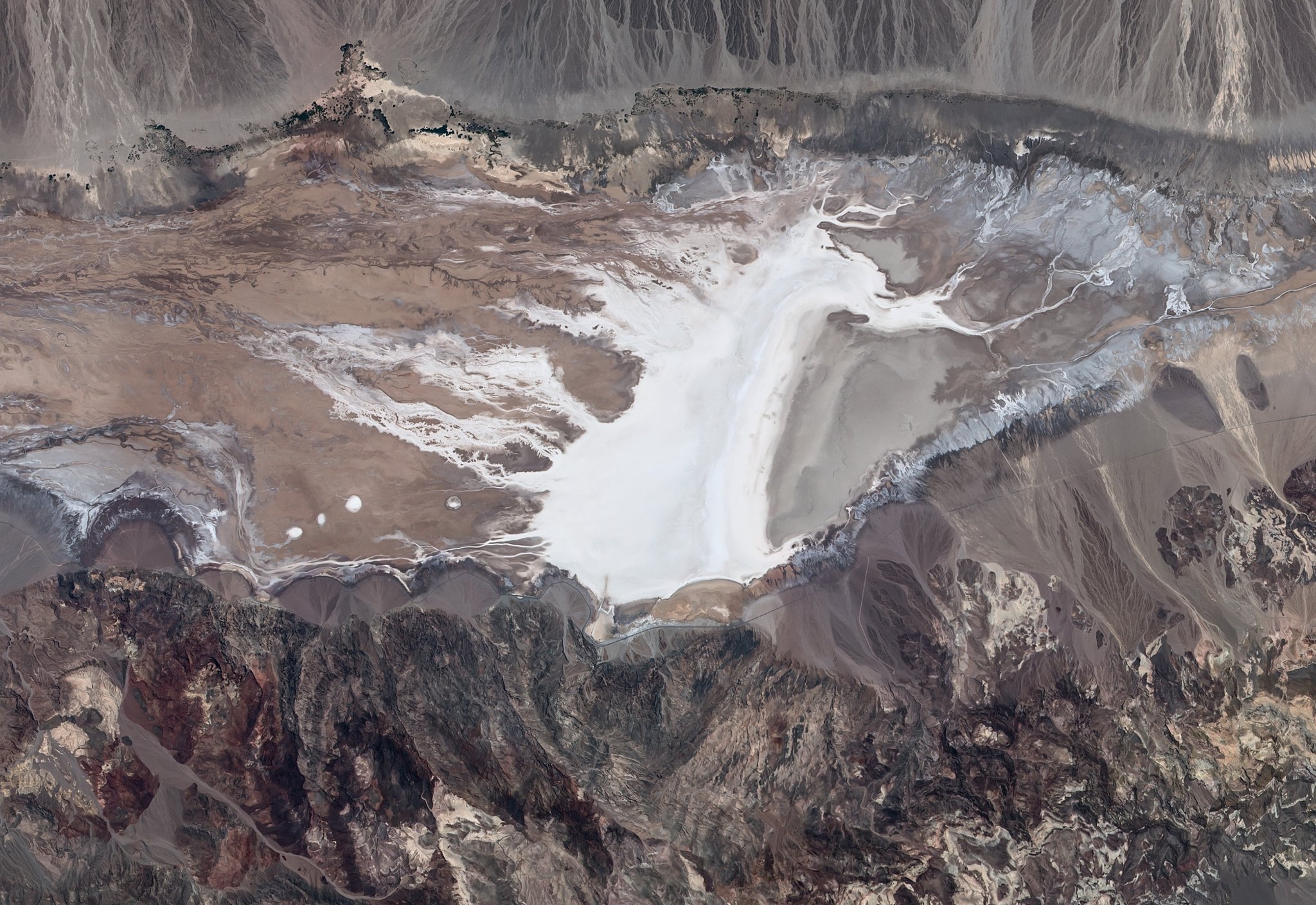
[:ja]雪原のように見えますが、これはISSから撮影された、米カリフォルニア州デスバレー国立公園の塩原、バッドウォーター・ベースンです。海抜-85.6mと米国で最も標高が低い場所です。かつては塩水湖だったため、「飲めない水」という意味で Bad Water と名付けられました。
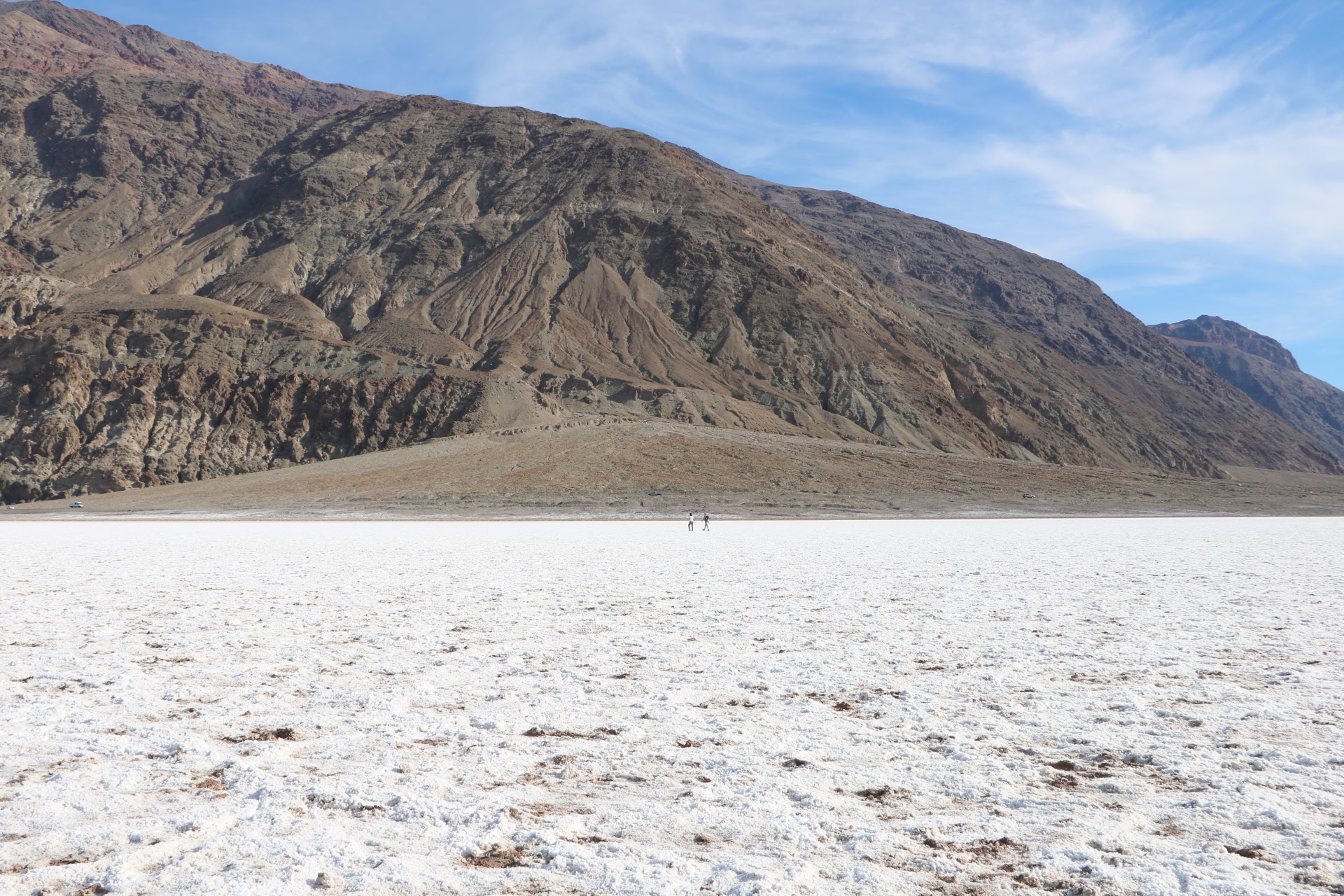
地上から見た景色はこちらです。
ウェブ地球儀で地球俯瞰画像を見る: LiVEARTH
[Earthview Wonders] No.50: Badwater Basin of Death Valley
It looks like snow field but it is salt basin, Badwater of Death Valley National Park, California, U.S., captured from ISS. The basin is located at -85.6m below sea level, the lowest spot in the U.S. The basin used to be a salt lake and was named after its salt water.
This is the photo from the ground.
See earthview photo gallery with web-globe: LiVEARTH[:en]It looks like snow field but it is salt basin, Badwater of Death Valley National Park, California, U.S., captured from ISS. The basin is located at -85.6m below sea level, the lowest spot in the U.S. The basin used to be a salt lake and was named after its salt water.
This is the photo from the ground.
See earthview photo gallery with web-globe: LiVEARTH[:]