[:ja]ESAの地球観測衛星Sentinel-2Aが撮影したアイスランドの首都レイキャビクです。画像下方のグレーの部分が町です。
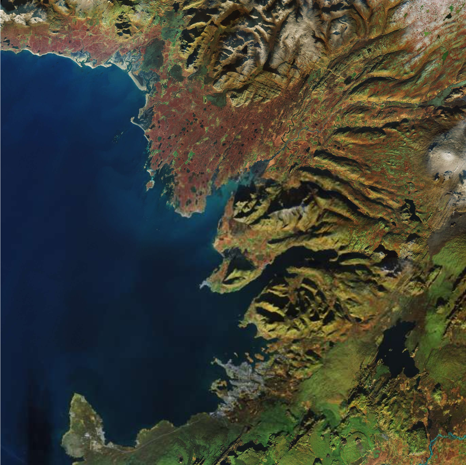
レイキャビクはファクサ湾に面する港湾都市で、首都としては世界最北の北緯64度8分に位置します。市名は「煙たなびく湾」という意味で、最初の上陸者が近郊の温泉から上る湯煙を炎の煙と見間違えて名づけた地名と言われています。人口は周囲の市を含めた首都圏全体で約21万人で、アイスランドの全人口の約2/3がこの一帯に集中。市内の暖房・給湯システムは地熱の熱エネルギーのみで維持されており、自然エネルギーとの共存が図られ、クリーンエネルギー政策の点では世界をリードしています。
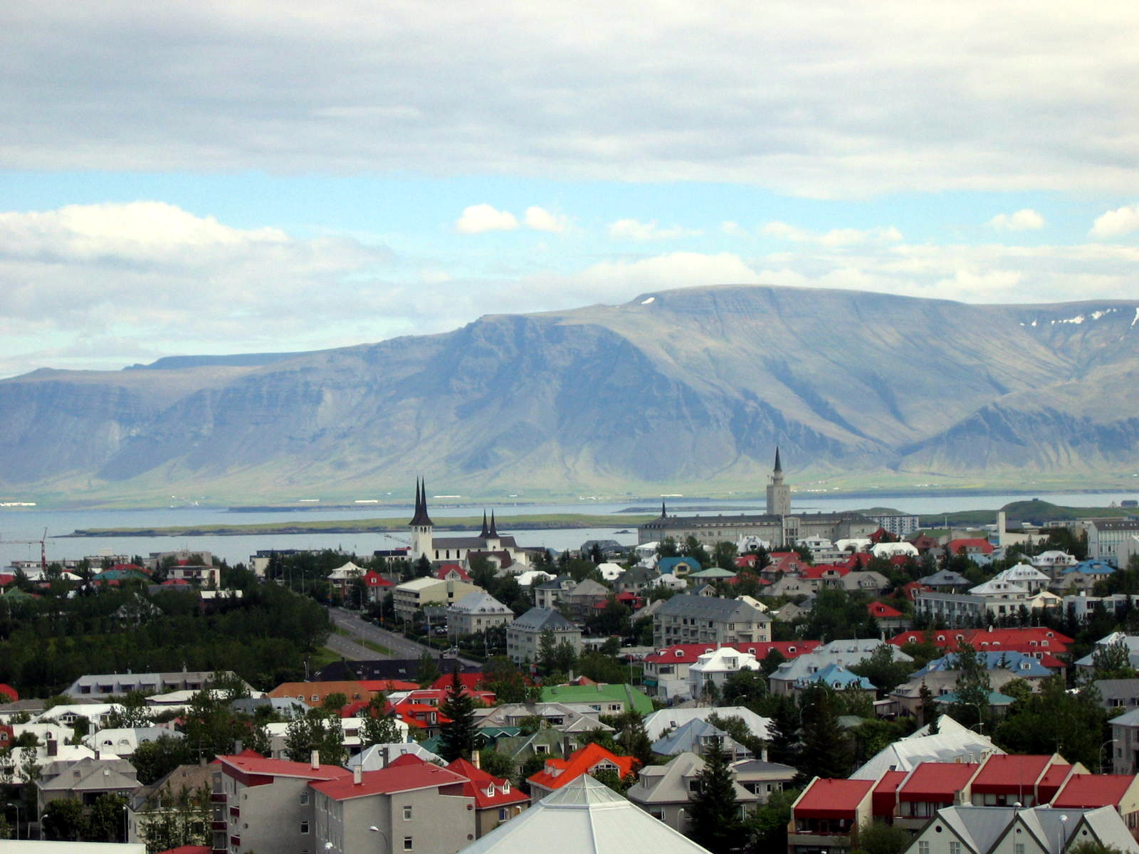
地上の様子はこちらです。
参考文献: Earth From Space (ESA)
ウェブ地球儀で地球俯瞰画像を見る: LiVEARTH
[Earthview Wonders] No.561: Reykjavik, Iceland🇮🇸
ESA’s Sentinel-2A satellite captured Reykjavik, the capital of Iceland. The gray area at the mid-lower side of the image is the city.
Reykjavík is on the southern shore of Faxa Bay. Its latitude is 64°08′ N, making it the world’s northernmost capital of a sovereign state. With a population of over 210K in the Capital Region, about 2/3 of the entire nation lives in the area. Volcanic activity provides Reykjavík with geothermal heating systems for both residential and industrial districts, making the city among the cleanest, greenest, and safest cities in the world.
The local scenery on the ground is as follows.
Reference: Earth From Space (ESA)
See earthview photo gallery with web-globe: LiVEARTH[:en][Earthview Wonders] No.561: Reykjavik, Iceland🇮🇸
ESA’s Sentinel-2A satellite captured Reykjavik, the capital of Iceland. The gray area at the mid-lower side of the image is the city.
Reykjavík is on the southern shore of Faxa Bay. Its latitude is 64°08′ N, making it the world’s northernmost capital of a sovereign state. With a population of over 210K in the Capital Region, about 2/3 of the entire nation lives in the area. Volcanic activity provides Reykjavík with geothermal heating systems for both residential and industrial districts, making the city among the cleanest, greenest, and safest cities in the world.
The local scenery on the ground is as follows.
Reference: Earth From Space (ESA)
See earthview photo gallery with web-globe: LiVEARTH[:]