NASA posted a satellite image of Kochi (Cochin), India.
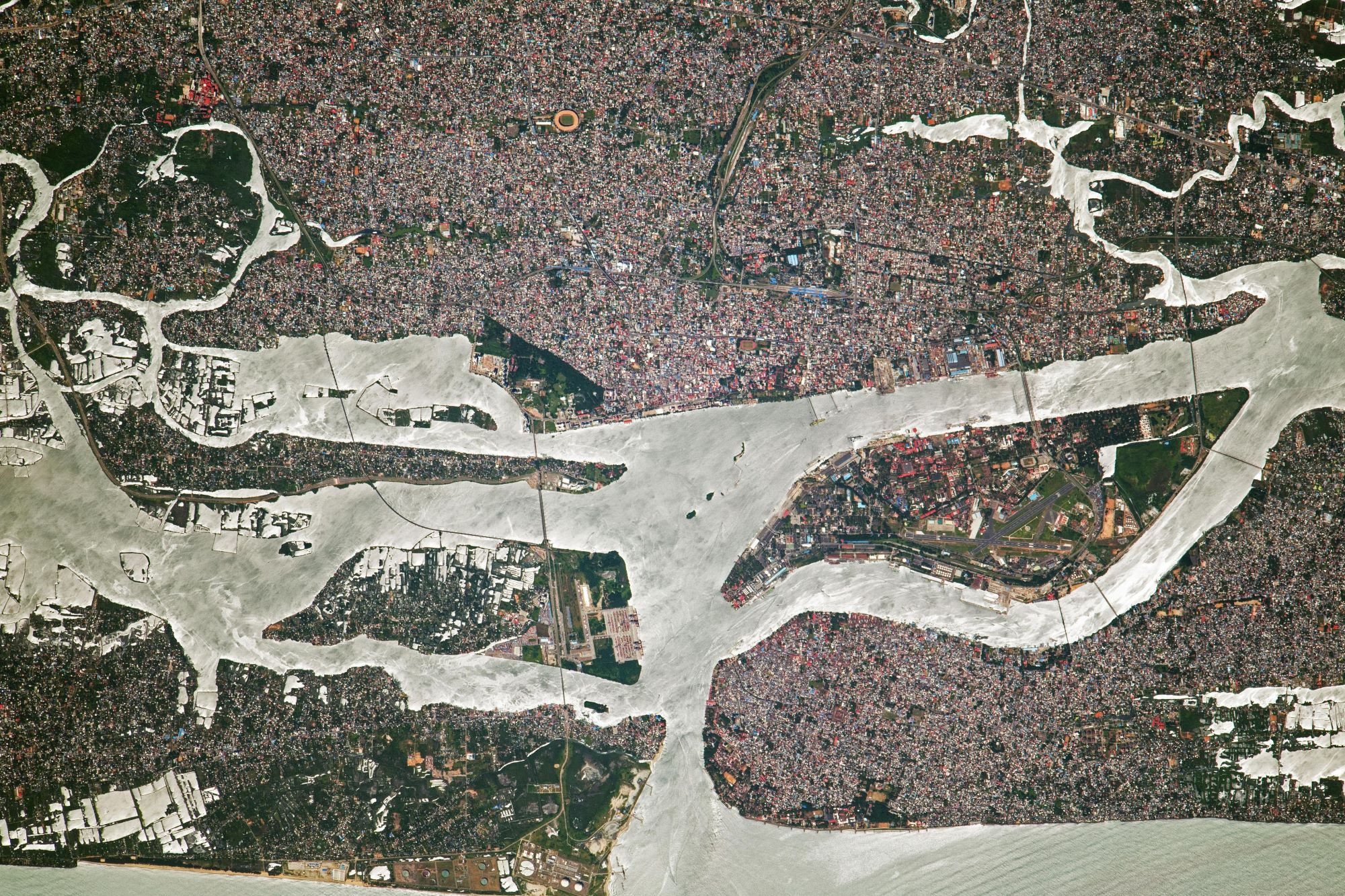
Kochi, also known by its former name Cochi, is a major port city along the Malabar Coast of India bordering the Laccadive Sea. The larger Kochi urban agglomeration had over 2.1 million inhabitants within an area of 440 km2, making it the largest and the most populous metropolitan area in Kerala. Nicknamed the Queen of the Arabian Sea, Kochi was an important spice trading center on the west coast of India from antiquity. The port of Muziris traded with the Romans, Persians, Arabs, and Chinese. From 1503 to 1663, the Portuguese established a colony in Fort Kochi (Fort Emmanuel), before being taken by the Dutch in 1663.
The local scenery on the ground is as follows.

Reference: NASA Earth’s Tweet
See earthview photo gallery: LiVEARTH