Landsat 8 satellite captured Leizhou Peninsula, China.
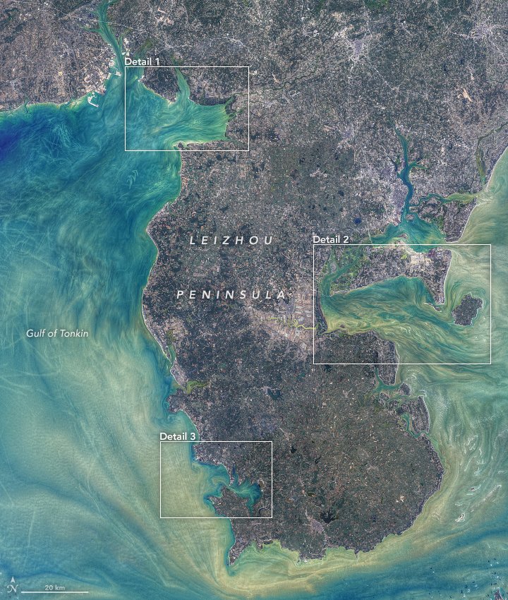
The Leizhou Peninsula, alternately romanized as the Luichow Peninsula, is the third largest peninsula in China with an area of 8,500km2 located on the southwestern end of Zhanjiang, Guangdong with the Gulf of Tonkin to the west and the 30km wide Qiongzhou Strait to the south, separating the peninsula from Hainan Island. Trade was once welcoming at cities of Leizhou Peninsula. During the 19th century, the area was a hotbed of piracy; many pirates such as Zheng Yi were based in the area. Geologically, basalt terraces account for 43% of the peninsula’s area. The rest is divided up between marine terraces (27%) and alluvial plains (17%). Leizhou Peninsula is dotted with a few dormant volcanoes, beaches, and low-lying diluvial plains. The peninsula lies in tropical South China. The region is under the influence of continental northeastern monsoons and maritime southeastern and southwestern monsoons.
The local scenery on the ground is as follows.

Reference: NASA Earth’s Tweet
See earthview photo gallery: LiVEARTH