NASA released a satellite image of Gulf of Suez, Egypt. Many ships going to and from the Suez Canal are recognized in this image.
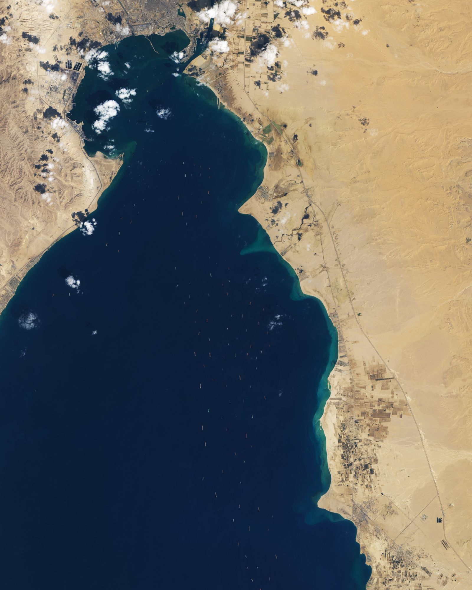
The Gulf of Suez is a gulf at the northern end of the Red Sea, to the west of the Sinai Peninsula. Situated to the east of the Sinai Peninsula is the smaller Gulf of Aqaba. The gulf was formed within a relatively young but now inactive Gulf of Suez Rift rift basin, dating back about 26 million years. It stretches some 300km north by northwest, terminating at the Egyptian city of Suez and the entrance to the Suez Canal. Along the mid-line of the gulf is the boundary between Africa and Asia. The entrance of the gulf lies atop the mature Gemsa oil and gas field. The gulf is considered one of the world’s important maritime zones due to being an entrance to the Suez Canal.
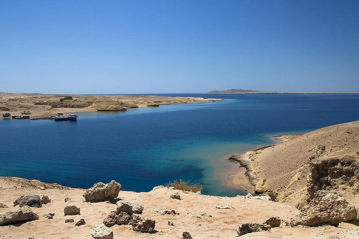
The local scenery on the ground is as follows.
Reference: NASA Earth’s Tweet
See earthview photo gallery: LiVEARTH