NASA’s Aqua satellite captured the Wildfire in western Canada. The image covers areas near the Kitlope Heritage Conservancy.
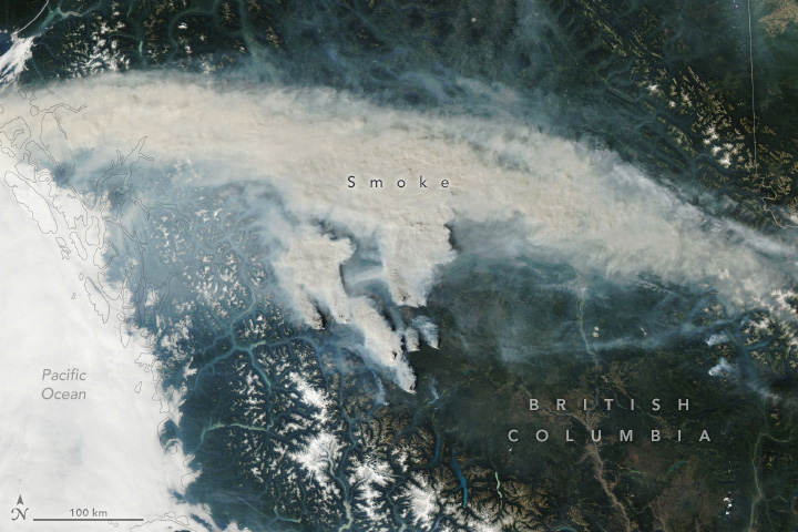
In early Sep. 2025, warm and dry conditions gripped much of western Canada, and the thunderstorms is considered to have caused the wildland fires. The smoke pouring from wildfires in the Cariboo region. Most were burning within the western part of this region, which spans 8.2 million ha of British Columbia’s central interior. The Itcha Lake fire, toward the top-right of the cluster of fires shown above, was among the region’s largest. British Columbia has seen 732,000 ha burned so far this year, which is higher than the 10-year average.
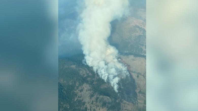
The local scenery on the ground is as follows.
Reference: NASA Earth’s Tweet
See earthview photo gallery: LiVEARTH