NASA’s Terra satellite captured the snow drought in western U.S.
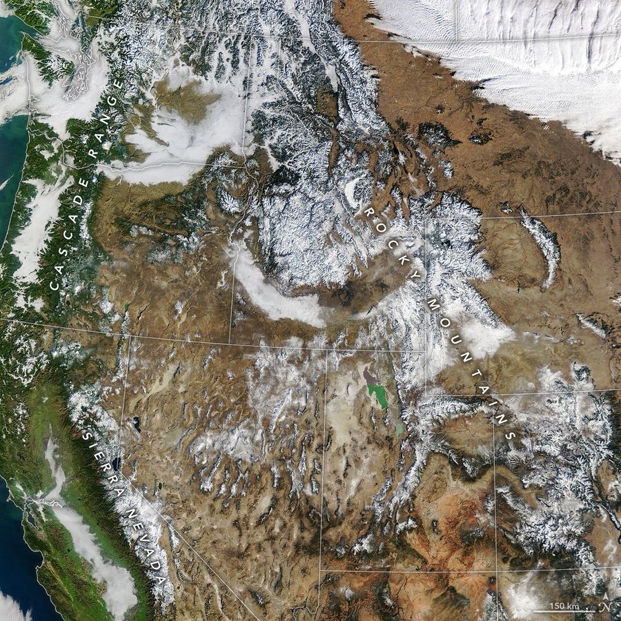
Although most regions saw average or above-average precipitation in fall and early winter, warmer temperatures kept water in the form of rain instead of snow. The result has been an unusually low snowpack for this time of year, constituting a snow drought. This image shows that snow blanketed areas of the lowest coverage for that date in the Terra’s MODIS record dating back to 2001 and less than one-third of the median.
The local scenery on the ground is as follows.

Reference: NASA Earth’s Tweet
See earthview photo gallery: LiVEARTH