[:ja]NASAのLandsat 8が撮影したインドの首都ニューデリーです。
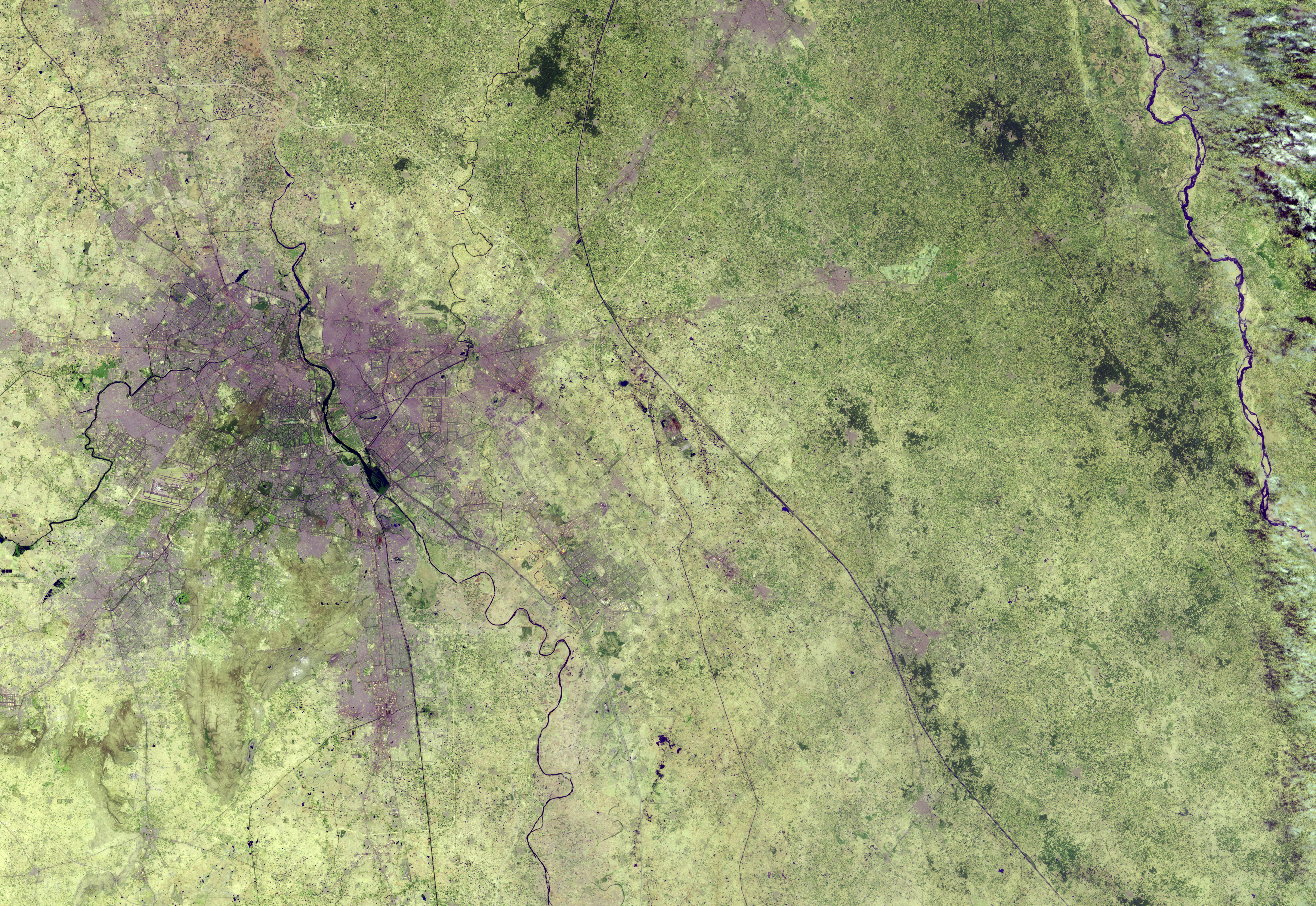
ニューデリーは都市圏で2100万人を擁するアジア最大級の都市です。イギリス領時代の1911年、コルカタからデリーにインドの行政府所在地が移され、その際に、デリー市街(現オールドデリー)の南方約5km程の場所に行政都市として建設されることとなり、これがニューデリーの始まりです。ニューデリーはガンジス川の支流、ジャムナー川の右岸にありますが、東のヒンドスタン平原と西のパンジャーブ平原の2大穀倉地帯の中間に位置し、さらにガンジス川流域ながらインダス川との分水界にほど近い場所にあって、古くから交通の要衝となっていました。
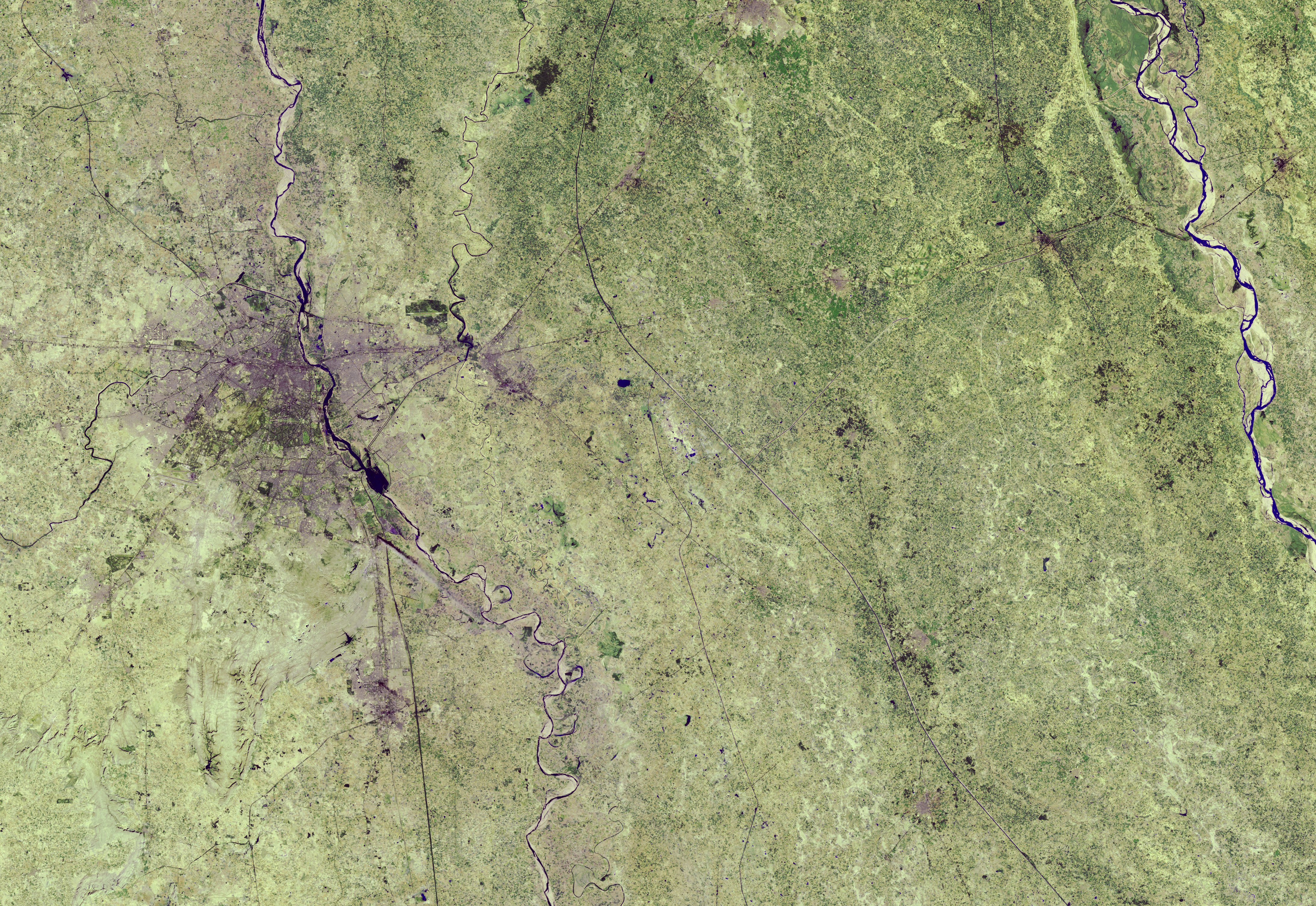
1989年のニューデリーの人工衛星画像はこちらです。
参考文献: Urban Growth of New Delhi (NASA Earth Observatory)
地球俯瞰画像を見る: LiVEARTH
[Earthview Wonders] No.637: New Delhi, India🇮🇳
Landsat 8 captured New Delhi, the capital of India.
The city was designed by British architects, and was inaugurated in 1931. Since then the city grew rapidly and holds 26 million population in the metropolitan area. While New Delhi lies on the floodplains of the Yamuna River, it is essentially a landlocked city. East of the river is the urban area of Shahdara. New Delhi falls under the seismic zone-IV, making it vulnerable to earthquakes.
The city in 1989 looked like this.
Reference: Urban Growth of New Delhi (NASA Earth Observatory)
See earthview photo gallery: LiVEARTH[:en][Earthview Wonders] No.637: New Delhi, India🇮🇳
Landsat 8 captured New Delhi, the capital of India.
The city was designed by British architects, and was inaugurated in 1931. Since then the city grew rapidly and holds 26 million population in the metropolitan area. While New Delhi lies on the floodplains of the Yamuna River, it is essentially a landlocked city. East of the river is the urban area of Shahdara. New Delhi falls under the seismic zone-IV, making it vulnerable to earthquakes.
The city in 1989 looked like this.
Reference: Urban Growth of New Delhi (NASA Earth Observatory)
See earthview photo gallery: LiVEARTH[:]