[:ja]アレックス・ゲルスト宇宙飛行士がISSから撮影したペルー、ボリビア、チリの国境付近です。画像からはわかりにくいですが、海面から6000mまでが映っています。
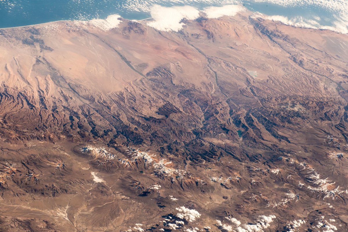
アンデス山脈は、太平洋プレート、ナスカプレートと南米大陸のぶつかり合いで隆起し、主に南アメリカ大陸の西側に沿って、北緯10度から南緯50度まで南北7500km、幅750kmにわたる世界最長の連続した褶曲山脈です。山脈はベネズエラ、コロンビア、エクアドル、ペルー、ボリビア、アルゼンチン、チリの7カ国にまたがり、6000mを越える高峰が20座以上そびえ立っています。
地上の様子はこちらです。
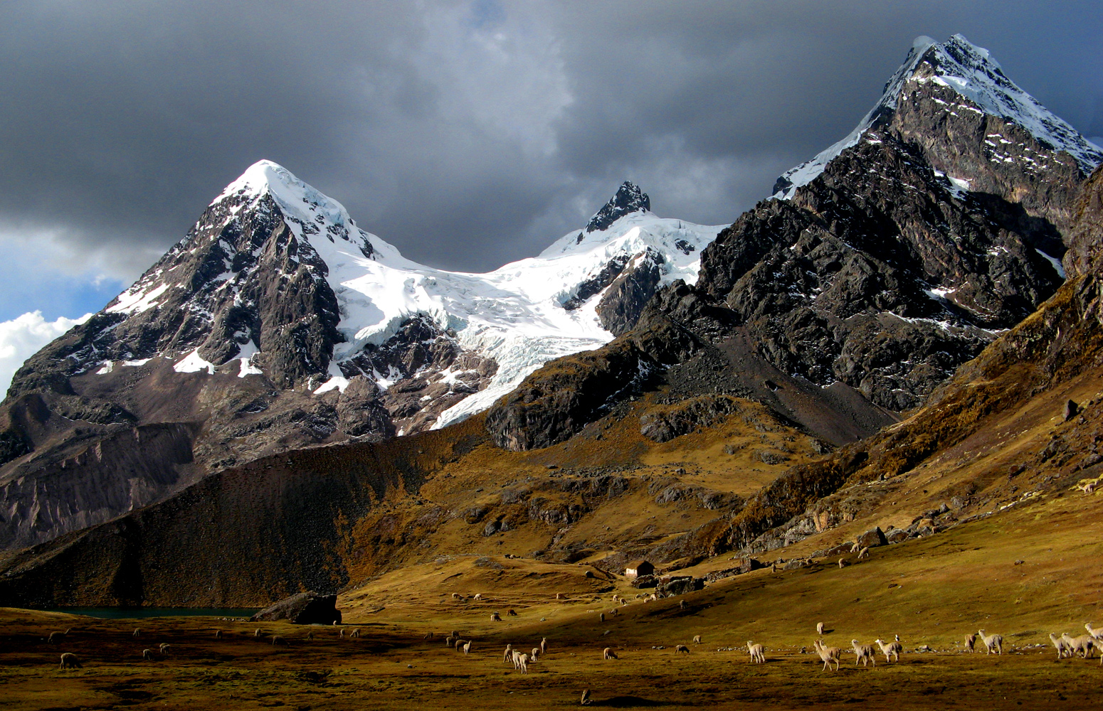
ペルーのアンデス山脈のアウサンガテ山の様子はこちらです。
参考文献: Alex Gerst’s Tweet
地球俯瞰画像を見る: LiVEARTH
[Earthview Wonders] No.680: Andes Mountains🇵🇪🇧🇴🇨🇱
Astronaut Alex Gerst captured from ISS the #Andes to the sea near the borders of Peru, Bolivia and Chile. It is hard to imagine from the image but it has a range from the sea level to 6000m.
The Andes Mountains are the longest continental mountain range in the world, forming a continuous highland along the western edge of South America. This range is about 7,500km long, about 750km wide. The Andes extend from north to south through seven South American countries: Venezuela, Colombia, Ecuador, Peru, Bolivia, Chile and Argentina.
Herds of alpacas near Ausangate mountain are as follows.
Reference: Alex Gerst’s Tweet
See earthview photo gallery: LiVEARTH[:en][Earthview Wonders] No.680: Andes Mountains🇵🇪🇧🇴🇨🇱
Astronaut Alex Gerst captured from ISS the #Andes to the sea near the borders of Peru, Bolivia and Chile. It is hard to imagine from the image but it has a range from the sea level to 6000m.
The Andes Mountains are the longest continental mountain range in the world, forming a continuous highland along the western edge of South America. This range is about 7,500km long, about 750km wide. The Andes extend from north to south through seven South American countries: Venezuela, Colombia, Ecuador, Peru, Bolivia, Chile and Argentina.
Herds of alpacas near Ausangate mountain are as follows.
Reference: Alex Gerst’s Tweet
See earthview photo gallery: LiVEARTH[:]