[:ja]野口聡一宇宙飛行士がISSから撮影したブータンの首都ティンプーです。
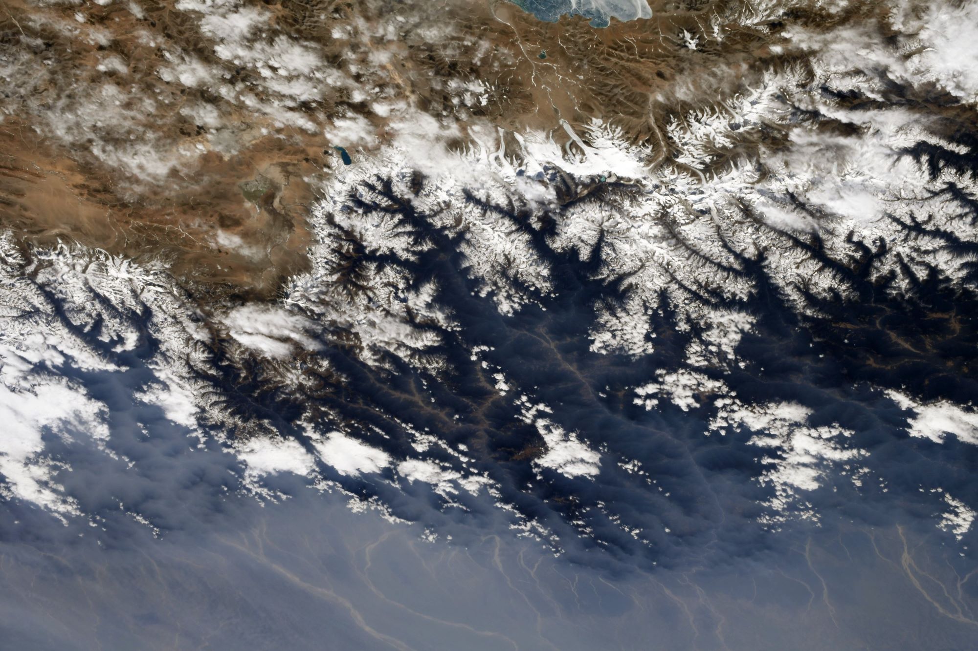
ブータンは、北は中国、東西南はインドと国境を接する南アジアの国家です。長年鎖国政策をとっていましたが、1971年に国際連合加盟。翌年に国民総幸福量という功利主義を採用しました。殺生を禁じている宗教上の理由と、資源保護の観点から、川で魚を取る事を禁じており、食用の魚は川の下流にあたるインドからの輸入に頼っています。首都ティンプーは盆地の底に位置しており、標高は2,320mです。以前は、ティンプーは小さな村に過ぎませんでしたが、ジグミ・ドルジ・ワンチュク国王の主導で整備が行われ、プナカからの遷都は1961年に完了しました。南西モンスーンの影響を受けて暖かく温暖な亜熱帯の高地気候であり、ケッペンの気候区分では温帯夏雨気候(Cwb)に属します。南西モンスーンのため、降雨量は6月中旬から9月の間に多くなりますが、この地域では降雨の前に雷と雷がよく降り、積乱雲と雨が天候を支配します。
地上の様子はこちらです。

参考文献: Soichi Noguchi’s Tweet
地球俯瞰画像を見る: LiVEARTH
[Earthview Wonders] No.1236: Thimphu, Bhutan
Astronaut Soichi Noguchi captured from ISS Thimphu, the capital of Bhutan.
Bhutan is a landlocked country in South Asia located in the Eastern Himalayas, bordered by China and India. The independence of Bhutan has endured for centuries, and the territory was never colonized in its history. In 1971, Bhutan was admitted to the United Nations, and in 1972, the country adopted “gross national happiness (GNH).” Bhutan is also notable for pioneering the concept of gross national happiness. Thimphu is situated in the western central part of Bhutan, and the surrounding valley. The ancient capital city of Punakha was replaced as capital by Thimphu in 1955, and in 1961 Thimphu was declared as the capital of the Kingdom of Bhutan by the 3rd Druk Gyalpo Jigme Dorji Wangchuck. Thimphu is the fifth highest capital in the world by altitude and ranges in altitude from 2,248-2,648m. Thimphu, as the political and economic center of Bhutan, has a dominant agricultural and livestock base, which contributes 45% of the country’s GNP. Tourism, though a contributor to the economy, is strictly regulated, maintaining a balance between the traditional, development and modernization.
The local scenery on the ground is as follows.
Reference: Soichi Noguchi’s Tweet
See earthview photo gallery: LiVEARTH[:]