[:ja]マーク・ヴァンデ・ハイ宇宙飛行士がISSから撮影したアリューシャン列島です。
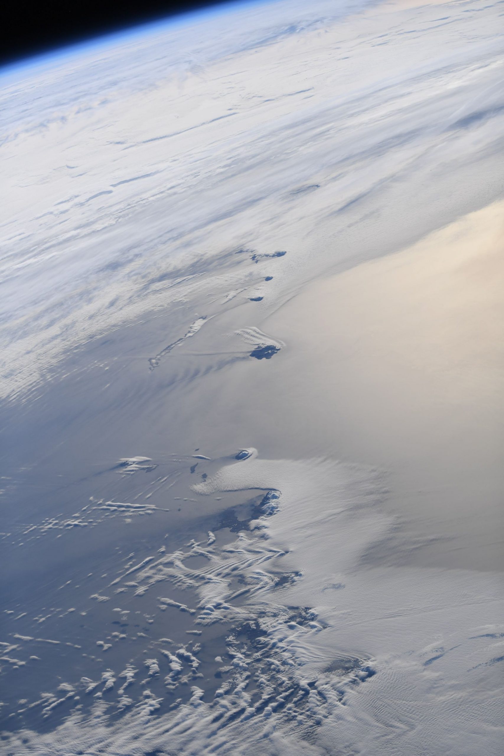
アリューシャン列島は北太平洋に弧状に連なり、アメリカ合衆国のアラスカ半島からロシアのカムチャツカ半島にかけて約1,930kmにわたって延びる列島で、環太平洋火山帯の一部を構成します。大部分がアメリカ合衆国アラスカ州に属していますが、西端のコマンドルスキー諸島のみがロシア連邦カムチャッカ地方アレウト地区に属します。
地上の様子はこちらです。

参考文献: Thomas Pesquet’s Tweet
地球俯瞰画像を見る: LiVEARTH
[Earthview Wonders] No.1305: Aleutian Islands🇺🇸
Astronaut Thomas Pesquet captured from ISS the Aleutian Islands.
The Aleutian Islands are a chain of 14 large volcanic islands and 55 smaller islands. Most of the Aleutian Islands belong to the U.S. state of Alaska, but some belong to the Russian federal subject of Kamchatka Krai. They form part of the Aleutian Arc in the Northern Pacific Ocean, occupying an area of 17,666km2 and extending about 1,900km westward from the Alaska Peninsula toward the Kamchatka Peninsula in Russia, and act as a border between the Bering Sea to the north and the Pacific Ocean to the south. The islands, with their 57 volcanoes, form the northernmost part of the Pacific Ring of Fire. Physiographically, they are a distinct section of the larger Pacific Border province, which in turn is part of the larger Pacific Mountain System physiographic division.
The local scenery on the ground is as follows.
Reference: Thomas Pesquet’s Tweet
See earthview photo gallery: LiVEARTH[:]