[:ja]ESAのSentinel-3が撮影したバングラデシュとインドにまたがるガンジスデルタです。
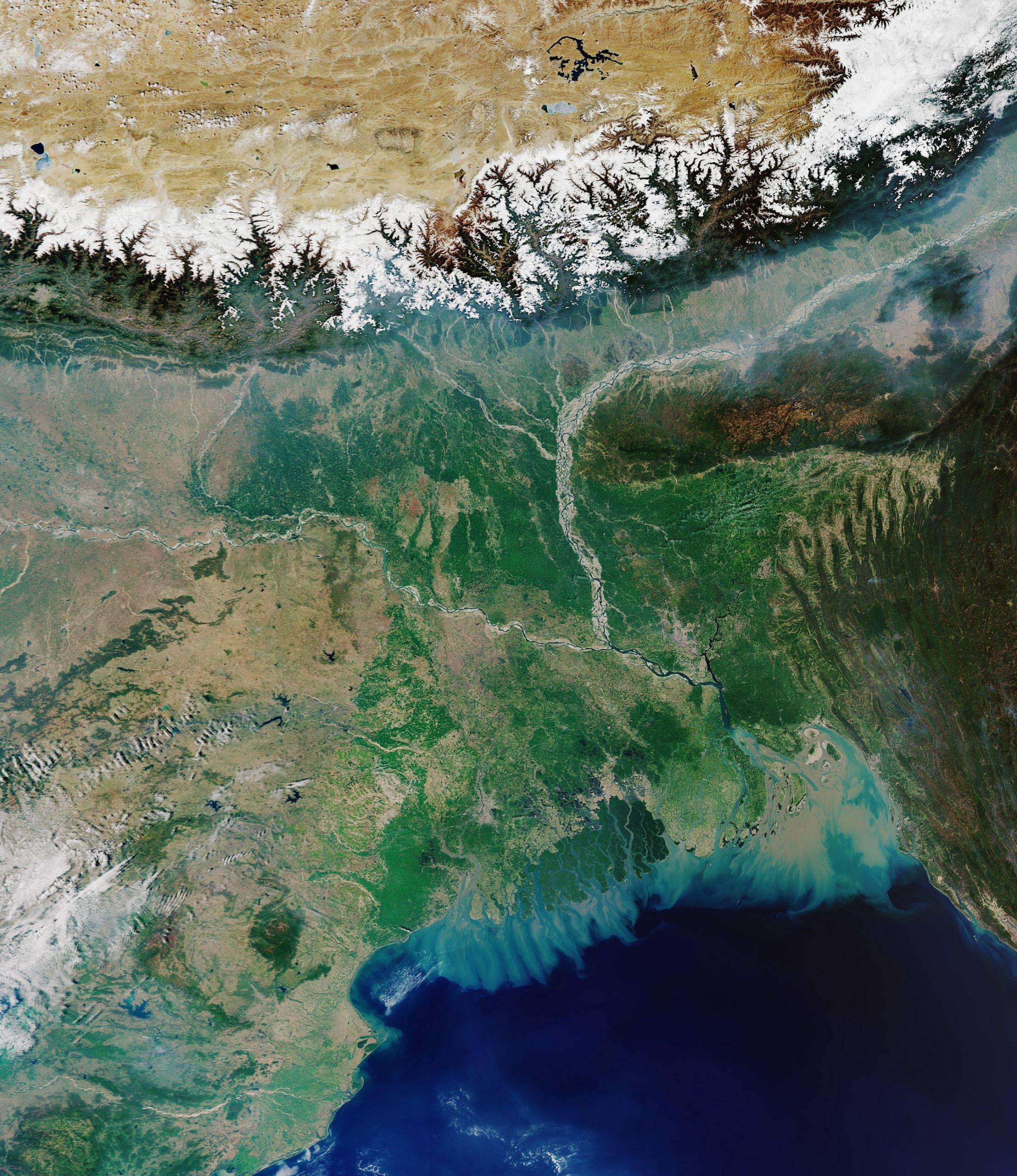
ガンジスデルタは、ガンジス川、ブラマプトラ川によって形成された大デルタ地帯です。デルタはガンジス川の河口から約400km上流の標高28m、バギラティ川との分流点から下流に広がっており、南北約400km、東西約400km、面積58,720km2です。分流点から約300km下流の地点までは安定した平野で、稲作やジュート(黄麻(こうま))の生産が行われ、約1億の人が居住しています。もともと、年平均気温26℃、湿度は年間を通じて80~90%と高温多湿で、サイクロンによる高潮の害が大きい地域ですが、近年では、地球温暖化に伴う海面上昇により、海岸部貧困農民層を中心とした環境難民が発生しています。また、雨期には主要3大河川の水量増加が支流の小河川の逆流を起こし、それが地表水の排水不良を引き起こし、後背低湿地を中心に毎年洪水が発生しています。
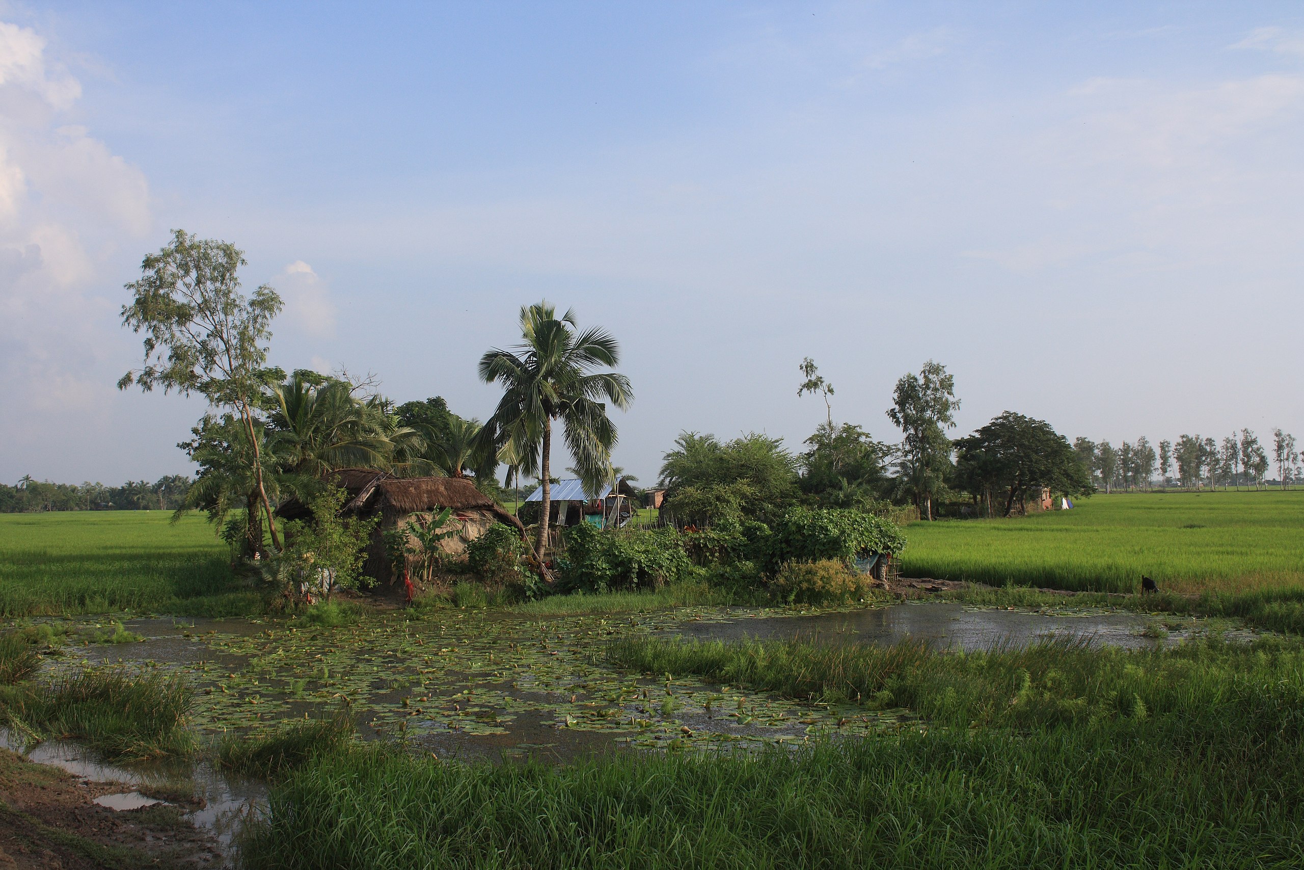
地上の様子はこちらです。
参考文献: Ganges Delta (ESA)
地球俯瞰画像を見る: LiVEARTH
[Earthview Wonders] No.1407: Ganges Delta🇧🇩🇮🇳
ESA’s Sentinel-3 captured the Ganges Delta consisting of Bangladesh and India.
The Ganges Delta (Sundarbans Delta or the Bengal Delta) is the world’s largest river delta and it empties into the Bay of Bengal with the combined waters of several river systems, mainly those of the Brahmaputra river and the Ganges river. It is also one of the most fertile regions in the world, and 143 million people live on the delta, despite risks from floods caused by monsoons, heavy run-off from the melting snows of the Himalayas, and North Indian Ocean tropical cyclones. One of the greatest challenges people living on the Ganges Delta may face in coming years is the threat of rising sea levels caused by climate change. An increase in sea level of 0.5m could result in 6 million people losing their homes in Bangladesh.
The local scenery on the ground is as follows.
Reference: Ganges Delta (ESA)
See earthview photo gallery: LiVEARTH[:]