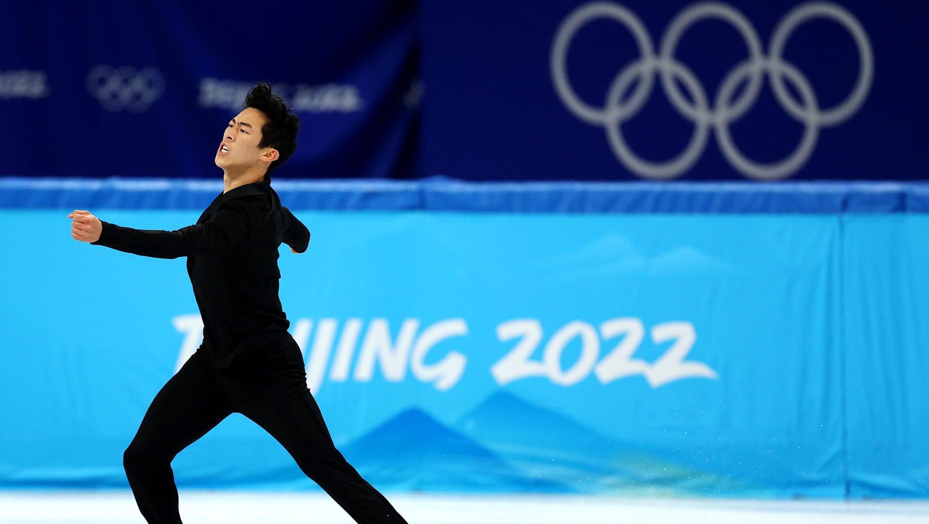
[:ja]NASAの地球観測衛星Landsat 8が撮影した中国の首都、北京です。冬季オリンピックの熱い競技が連日開かれています。
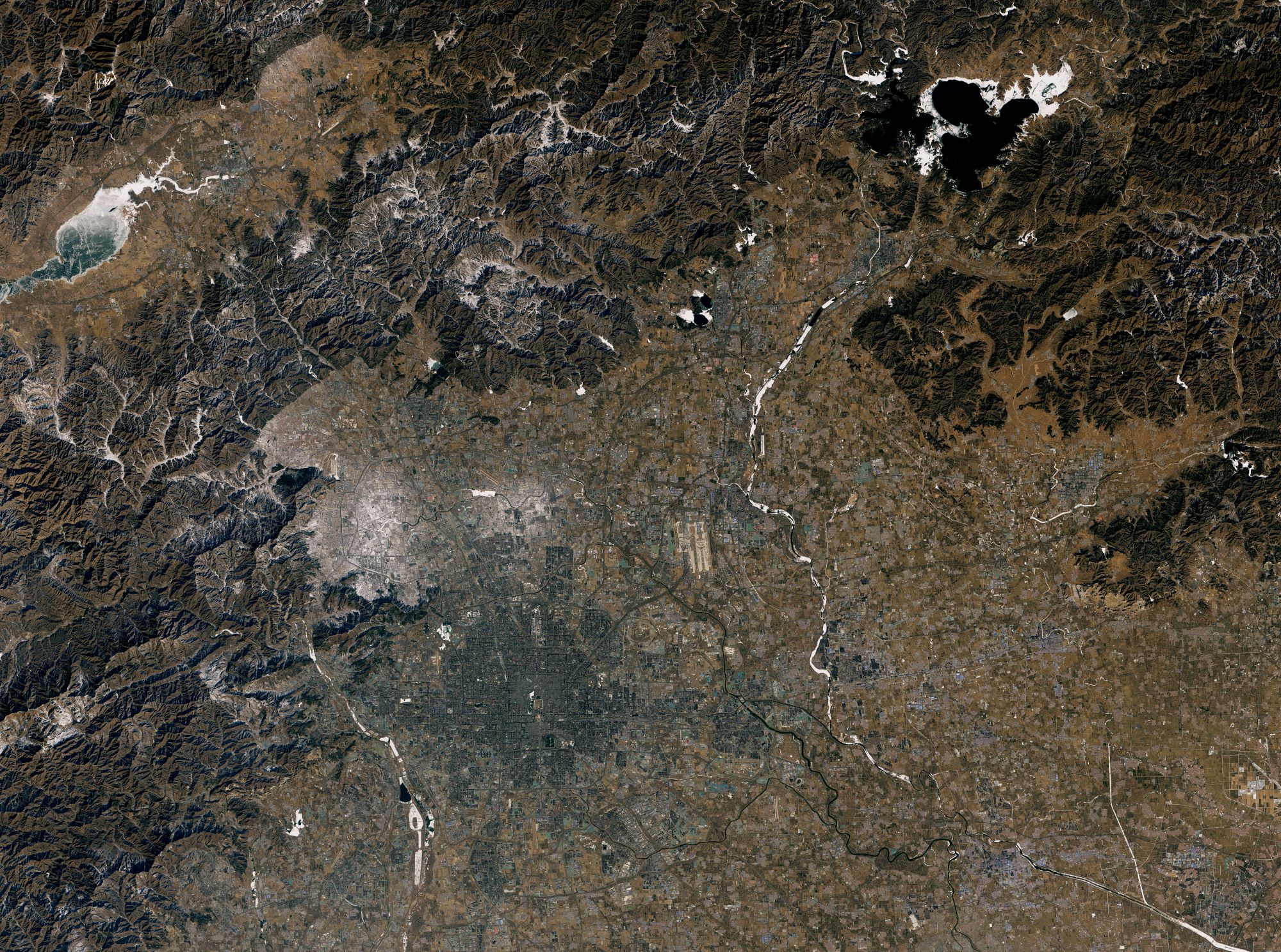
北京は華北平原の東北端に位置します。東部は山地、西部は太行山脈、北部は燕山山脈の一部である軍都山に接しており、南部以外は山に囲まれていて全市域の約62%を山地が占めています。北京の最高峰は万里の長城が延々と続いている北部山脈にある東霊山です。北京市街地はこうした山岳地域に囲まれた盆地の中にあり、その平均海抜は20〜60mです。ケッペンの気候区分では、かつては亜寒帯冬季少雨気候(Dwa)に属していましたが、最新の平年値ではステップ気候(BSk)に移行しました。冬は低温乾燥で厳しい寒波が襲いますが、乾燥のため雪はそれほどは降りません。
地上の様子はこちらです。
参考文献: NASA Earth’s Tweet
地球俯瞰画像を見る: LiVEARTH
[Earthview Wonders] No.1482: Beijing🇨🇳
NASA’s Landsat 8 satellite captured Beijing, the capital of China. Exciting Winter Olympic Games are held now.
Beijing is located at the northern tip of the roughly triangular North China Plain, which opens to the south and east of the city. Mountains to the north, northwest and west shield the city and northern China’s agricultural heartland from the encroaching desert steppes. The northwestern part of the municipality, especially Yanqing County and Huairou District, are dominated by the Jundu Mountains, while the western part is framed by Xishan or the Western Hills. The Great Wall of China across the northern part of Beijing Municipality was built on the rugged topography to defend against nomadic incursions from the steppes. The urban area of Beijing, on the plains in the south-central of the municipality with elevation of 40-60m, occupies a relatively small but expanding portion of the municipality’s area. The city spreads out in concentric ring roads.
The local scenery on the ground is as follows.
Reference: NASA Earth’s Tweet
See earthview photo gallery: LiVEARTH[:]