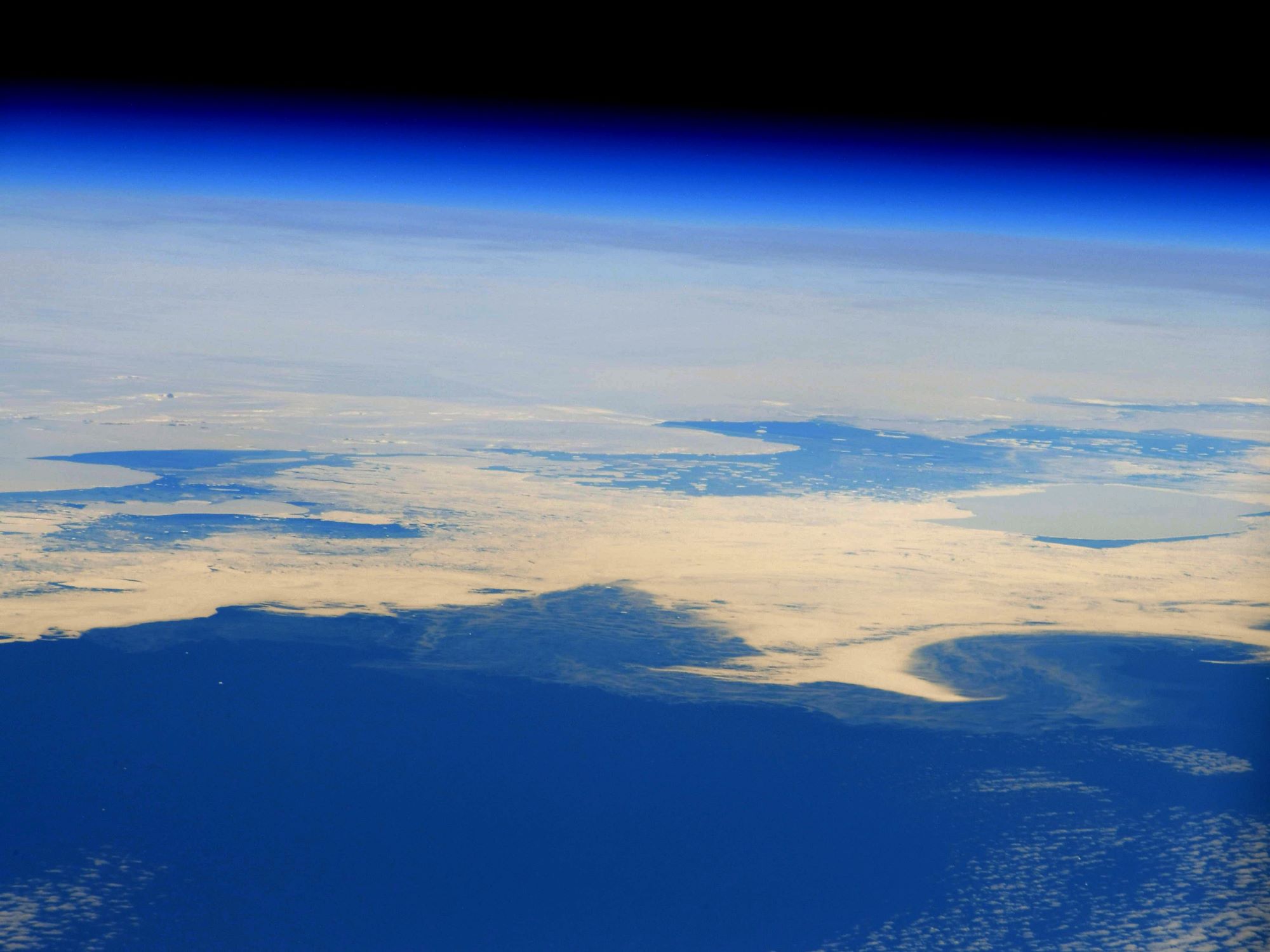
[:ja]野口聡一宇宙飛行士がISSから撮影した南極です。南極は秋を迎えています。
南極点を中心に南緯66度33分までの地域については南極圏と呼びます。南極大陸は、地球上で最も寒冷な地域の一つであり、およそ3000万年の間降り積もった雪が溶けずに1000~2000mの厚い氷の層となった氷雪(氷床)に覆われ一部の沿岸地区を除き、植生はほとんどありません。陸地はほとんど氷床下にあり、露岩地区は少なくなっています。西南極には南極半島があり、この半島の北端は南緯63度付近と南極圏外にあります。なお、1961年6月に発効した南極条約により、南緯60度以南の領有権主張は凍結されており、軍事利用、核実験なども禁止されています。
地上の様子はこちらです。

参考文献: Soichi Noguchi’s Tweet
地球俯瞰画像を見る: LiVEARTH
[Earthview Wonders] No.1510: Antarctica🇦🇶
Astronaut Soichi Noguchi captured from ISS Antarctica, facing autumn season.
Antarctica is Earth’s southernmost and the fifth-largest continent. It is the coldest, driest, and windiest continent, and has the highest average elevation of all the continents. Not widely known, Antarctica is a desert, with annual precipitation of only 200mm along the coast and far less inland. Antarctica is governed based on the Antarctic Treaty which is signed by 52 countries. The treaty prohibits military activities and mineral mining, prohibits nuclear explosions and nuclear waste disposal, supports scientific research, and protects the continent’s ecozone.
The local scenery on the ground is as follows.
Reference: Soichi Noguchi’s Tweet
See earthview photo gallery: LiVEARTH[:]