[:ja]【宇宙からの地球絶景】No.1572: ハワイ諸島🇺🇸
サマンサ・クリストフォレッティ宇宙飛行士がISSから撮影したハワイ諸島です。
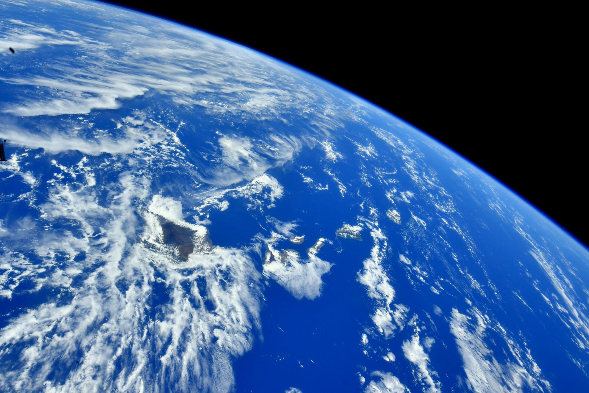
ハワイ諸島は多数の島と環礁からなる諸島です。行政上のハワイ諸島はアメリカ合衆国の領土ですが、地理学による六大州の分類ではオセアニアに属し、オセアニアの海洋部の分類ではポリネシアに属しています(ハワイ諸島北西にあるミッドウェー環礁がポリネシアの最北端とされます)。一直線に並ぶハワイ諸島は、ホットスポットによる火山形成とプレート(太平洋プレート)の移動によって成立しました。さらに北西には水没した火山(海山)も連なっており、ハワイ-天皇海山群を形成しています。オアフ島では、ホノルル市長が経済活動再開のための第3段階の規制を緩和し、3月11日より、オアフ島内にあるバーやナイトクラブの営業が再開しています。
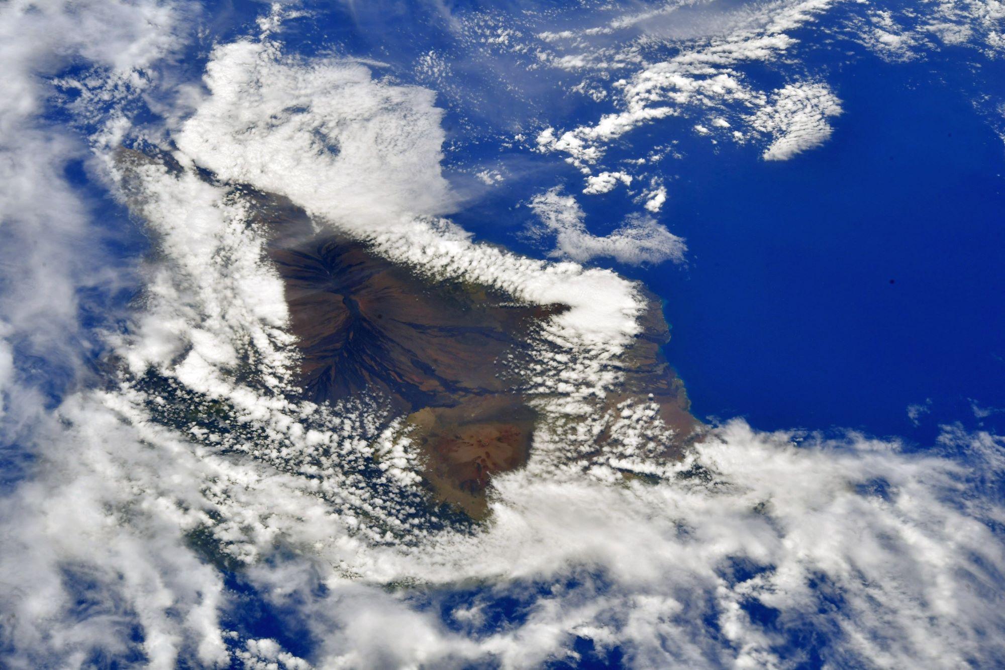
地上の様子はこちらです。

参考文献: Samantha Cristoforetti’s Tweet
地球俯瞰画像を見る: LiVEARTH
[Earthview Wonders] No.1572: Hawaii Islands🇺🇸
Astronaut Samantha Cristoforetti captured from ISS Hawaii Islands.
The Hawaiian Islands are an archipelago of 8 major islands, several atolls, numerous smaller islets, and seamounts in the North Pacific Ocean, extending some 2,400km from the island of Hawaiʻi in the south to northernmost Kure Atoll. Formerly the group was known to Europeans and Americans as the Sandwich Islands, a name that James Cook chose in honor of the then First Lord of the Admiralty John Montagu, 4th Earl of Sandwich. Cook came across the islands by chance when crossing the Pacific Ocean on his Third Voyage, on board HMS Resolution; he was later killed on the islands on a return visit. The contemporary name of the islands, dating from the 1840s, is derived from the name of the largest island, Hawaiʻi Island. The Hawaiian Islands are the exposed peaks of a great undersea mountain range known as the Hawaiian–Emperor seamount chain, formed by volcanic activity over a hotspot in the Earth’s mantle. The islands are about 3,000km from the nearest continent.
The local scenery on the ground is as follows.
Reference: Samantha Cristoforetti’s Tweet
See earthview photo gallery: LiVEARTH[:]