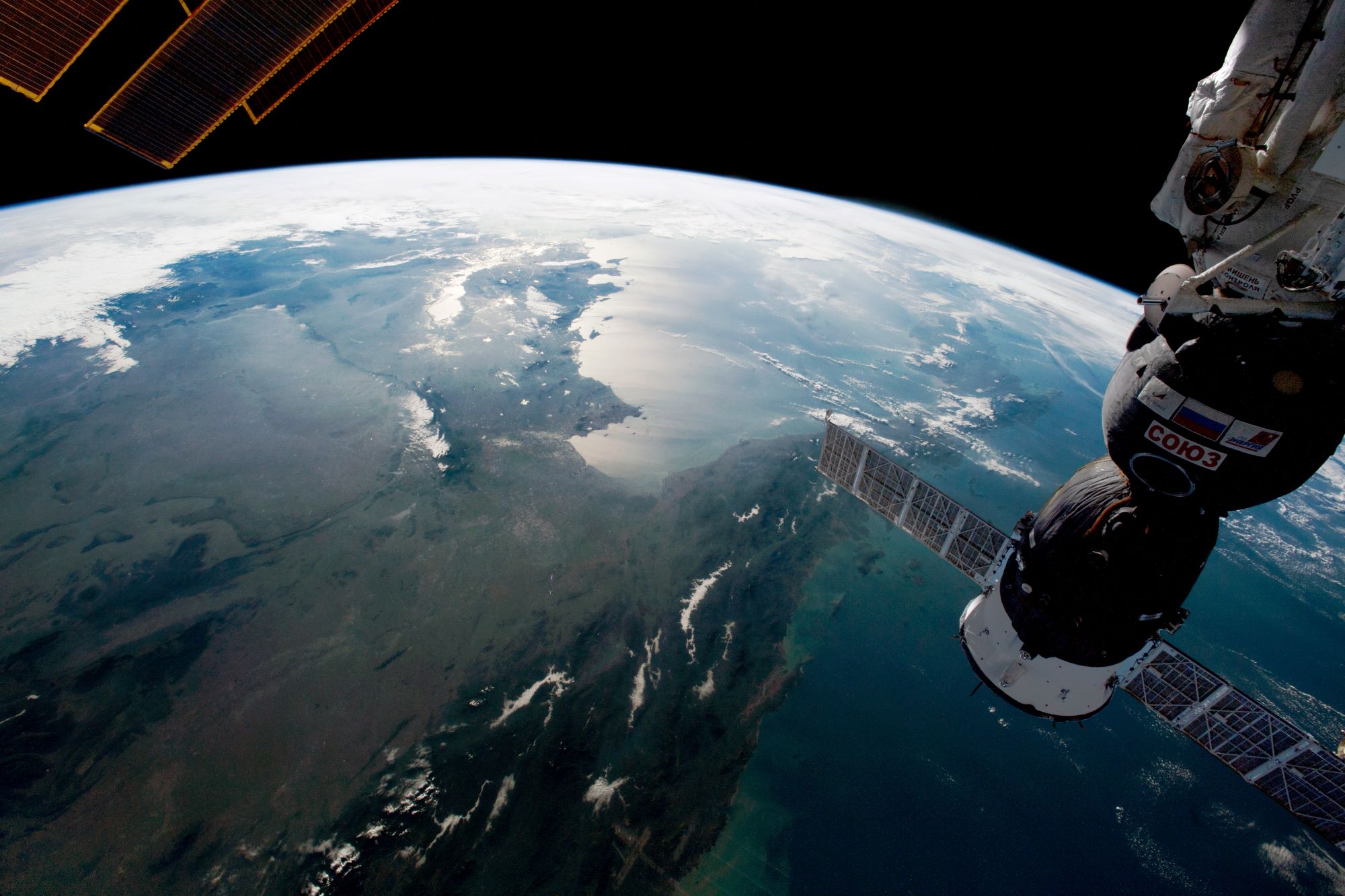
[:ja]宇宙飛行士がISSから撮影した東南アジアです。ミャンマー付近から南東を臨みます。
東南アジアはインドシナ半島、マレー半島、インドネシア諸島、フィリピン諸島アジアと島嶼部東南アジアに分けられます。東南アジアという用語は比較的新しく、初出は1830年代です。当時の地理学や歴史学が国家論や支配論に偏っていたこともあり、当初は考古学や民族学用語としてのみ普及しました。地理概念として一般化したのは、1942年に連合国軍が「東南アジア司令部」をセイロンに設置し、戦後処理を進める連合軍の作戦領域名として政治的にも公式化されるようになってからです。気候は、平均気温が25度以上で、大部分がケッペンの気候区分でいう熱帯であり、熱帯特有の急な雷雨、スコールが雨季に多く見られます。湿潤熱帯に属する島嶼部では一年中降水量が多いでが、大陸部やインドシナ半島はモンスーンの影響を受けてサバナ気候となり、雨季と乾季がはっきりしています。
参考文献: NASA Earth’s Tweet
地球俯瞰画像を見る: LiVEARTH
[Earthview Wonders] No.1614: Southeast Asia
Astronaut on board ISS captured the Southeast Asia.
Southeast Asia is the geographical south-eastern region of Asia, consisting of the regions that are situated south of Mainland China, east of the Indian subcontinent, and north of Australia. In contemporary definition, Southeast Asia consists of two subregions: the Indochinese Peninsula, comprising Cambodia, Laos, Myanmar, Peninsular Malaysia, Thailand, and Vietnam; and Maritime Southeast Asia, mostly consisting of the Malay Archipelago, comprising Brunei, East Malaysia, East Timor, Indonesia, the Philippines, and Singapore. The climate in Southeast Asia is mainly tropical–hot and humid all year round with plentiful rainfall. Northern Vietnam and the mountainous parts of Laos and Myanmar are the only regions in Southeast Asia that feature a subtropical climate, which have a milder winter with maxima as low as 5°C. The majority of Southeast Asia has a wet and dry season caused by seasonal shifts in winds or monsoon.
Reference: NASA Earth’s Tweet
See earthview photo gallery: LiVEARTH[:]