[:ja]ラジャ・チャリ宇宙飛行士がISSから撮影した南極大陸西部のS字状の細く長大な南極半島です。アイルランド人アーネスト・シャクルトンがエンデュアランス号で行ったウェッデル海探検の近くです。
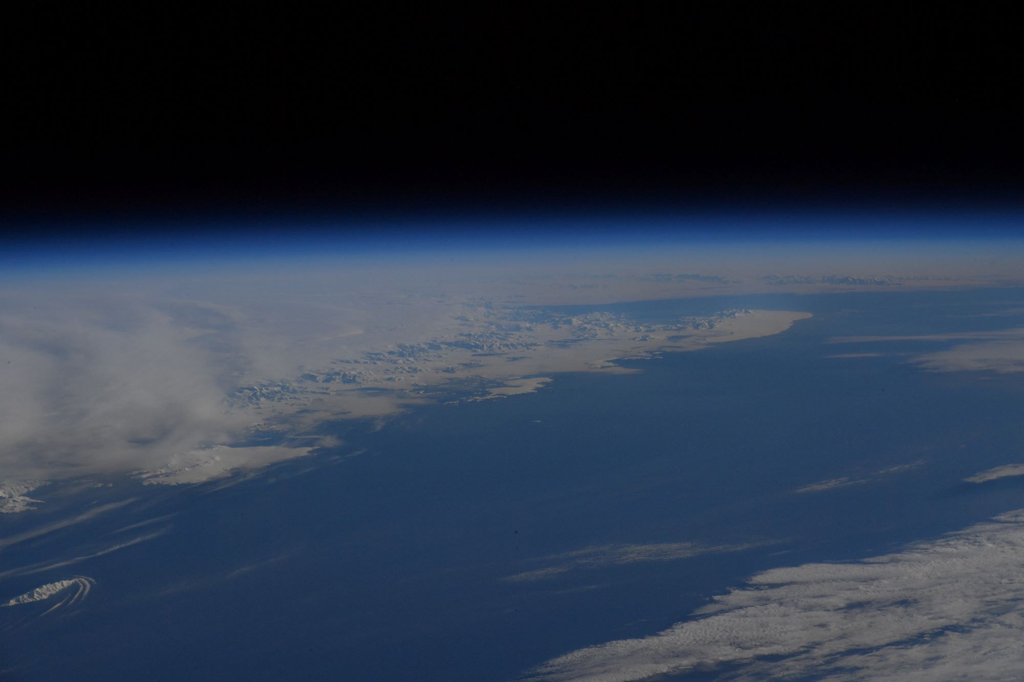
南極半島は、南極の中では気候が最も温和で、1820年代に人類が最初に到達した南極大陸の一角であると同時に多くの観測基地があります。半島北部は南極大陸では珍しく南極圏外で、ドレーク海峡を挟んで1000km北に南米大陸があります。アルゼンチン、イギリス、チリが、南極半島の全域もしくは一部の領有を主張しています。また、南極半島は高い山が多く、アンデス山脈の続きであると考えられています。
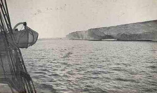
地上の様子はこちらです。
参考文献: Raja Chari’s Tweet
地球俯瞰画像を見る: LiVEARTH
[Earthview Wonders] No.1723: Antarctic Peninsula🇦🇶
Astronaut Raja Chari captured from ISS Antarctic Peninsula which extends in “S” shape of west Antarctica. This is the area Irish Ernest Shackleton led British expeditions to the Antarctic in 1914-1917.
Antarctic Peninsula is in the warmest area in the continent and many research stations have been established since 1820. Argentina, UK and Chile make territorial claims. The peninsula is highly mountainous and these mountains are considered to be a continuation of the Andes of South America. (Credit: Raja Chari, NASA)
The local scenery on the ground is as follows.
Reference: Raja Chari’s Tweet
See earthview photo gallery: LiVEARTH[:]