[:ja]ルカ・パルミタノ宇宙飛行士がISSから撮影したオーストラリアのギルバート川です。
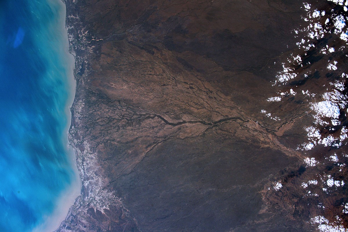
ギルバート川は、クイーンズランド州北部にあり、全長515kmです。グレートディバイディング山脈に発し,北西に流れ,ヨーク岬半島基部付近で,カーペンタリア湾に注ぎます。おもな支流はエーナスレー川で、流域では肉牛の飼育が行われています。画像からもわかりますが、河口付近では大規模なデルタ地帯を形成しています。
地上の様子はこちらです。

参考文献: Luca Parmitano’s Tweet
地球俯瞰画像を見る: LiVEARTH
[Earthview Wonders] No.1763: Gilbert River🇦🇺
Astronaut Luca Parmitano captured from ISS Gilbert River, Australia.
The Gilbert River is located in Far North Queensland, Australia. When combined with the Einasleigh River, the river system is the largest river system in northern Australia. The Gilbert River rises below Conical Hill in the Einasleigh Uplands, draining the eastern slopes of the Gregory Range and the western slopes of the Newcastle Range, north of Hughenden. North of Karumba the Gilbert discharges into the Gulf of Carpentaria. The Gilbert River is a seasonal stream and discharge can vary greatly depending on the intensity of the monsoon. (Credit: Luca Parmitano, ESA, NASA)
The local scenery on the ground is as follows.
Reference: Luca Parmitano’s Tweet
See earthview photo gallery: LiVEARTH[:]