Astronaut Andreas Mogensen captured from ISS Anegada.
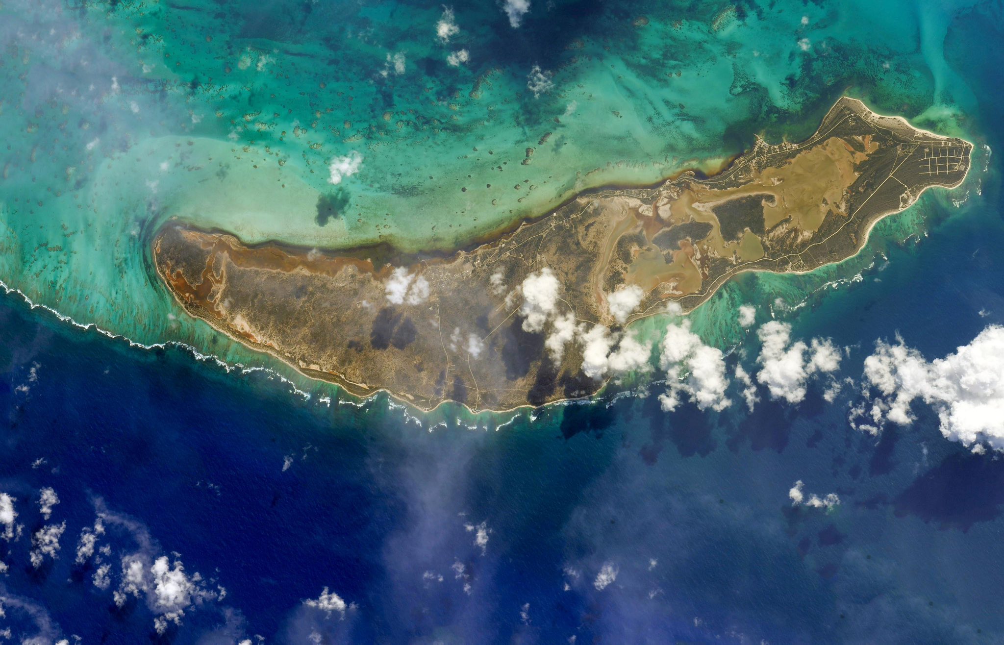
Anegada is the northernmost of the British Virgin Islands (BVI), a group of islands that form part of the archipelago of the Virgin Islands. It lies 24km north of Virgin Gorda. Anegada is the only inhabited British Virgin Island formed from coral and limestone, rather than being of volcanic origin. While the other islands are mountainous, Anegada is flat and low. Its highest point is only about 8.5m above sea level, earning it its name, which is the Spanish term for the flooded land, “tierra anegada”. Anegada is the second largest of the British Virgin Islands, but it is also the most sparsely populated of the main islands, with a population of 285 as at the 2010 Census. Most of the population on Anegada live in the only village, The Settlement.
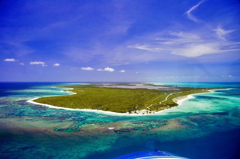
The local scenery on the ground is as follows.
Reference: Andreas Mogensen’s Tweet
See earthview photo gallery: LiVEARTH