Landsat 8 satellite captured the Laptev Sea of the Arctic Circle. Large wildland fires can be recognized in the tundra of the area as well.
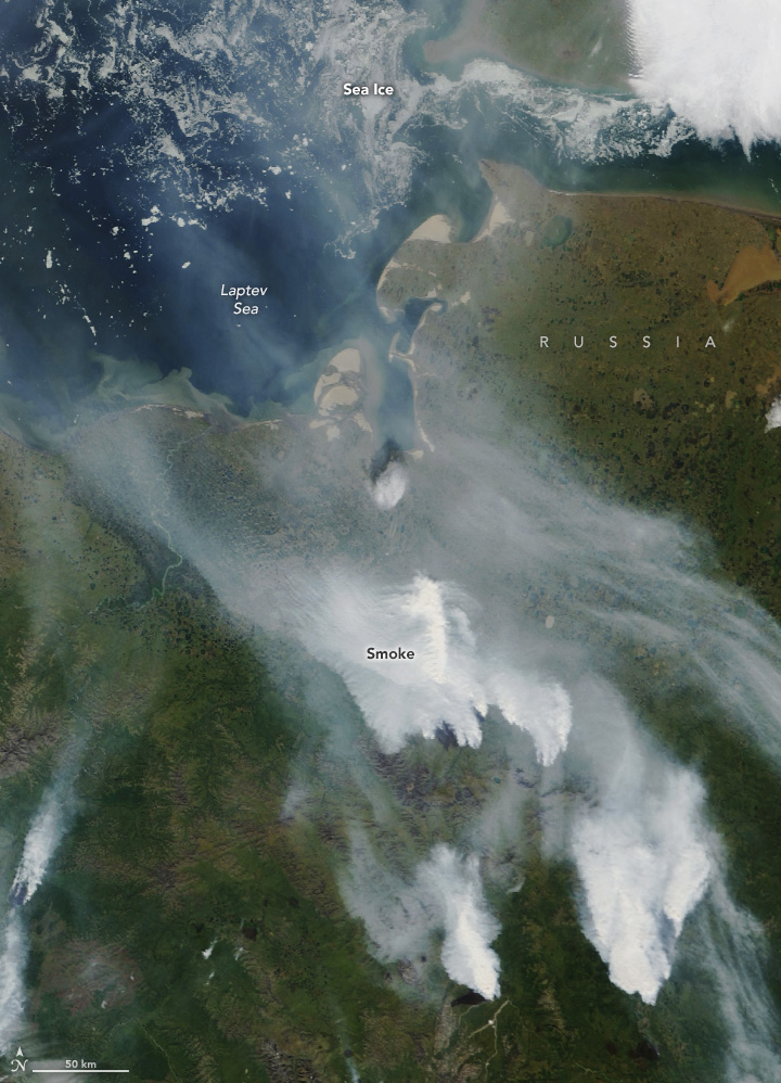
The Laptev Sea is a marginal sea of the Arctic Ocean and is located between the northern coast of Siberia, the Taimyr Peninsula, Severnaya Zemlya and the New Siberian Islands. Its northern boundary passes from the Arctic Cape to a point with co-ordinates of 79°N and 139°E, and ends at the Anisiy Cape. The Kara Sea lies to the west, the East Siberian Sea to the east. The sea is named after the Russian explorers Dmitry Laptev and Khariton Laptev. The sea has a severe climate with temperatures below 0°C over more than nine months per year, low water salinity, scarcity of flora, fauna and human population, and low depths (mostly less than 50m). It is frozen most of the time, though generally clear in August and September. The sea shores were inhabited for thousands of years by indigenous tribes of Yukaghirs and then Evens and Evenks, which were engaged in fishing, hunting and reindeer husbandry. They were then settled by Yakuts and later by Russians. Russian explorations of the area started in the 17th century.
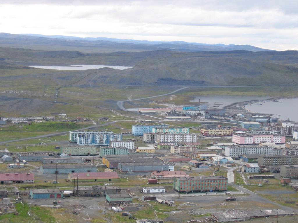
The local scenery on the ground is as follows.
Reference: NASA Earth’s Tweet
See earthview photo gallery: LiVEARTH