Astronaut Sergey Ryazansky captured from ISS Aral Sea, an endorheic lake lying between Kazakhstan to its north and Uzbekistan to its south. The image shows the southernmost part of the lake in Uzbekistan.
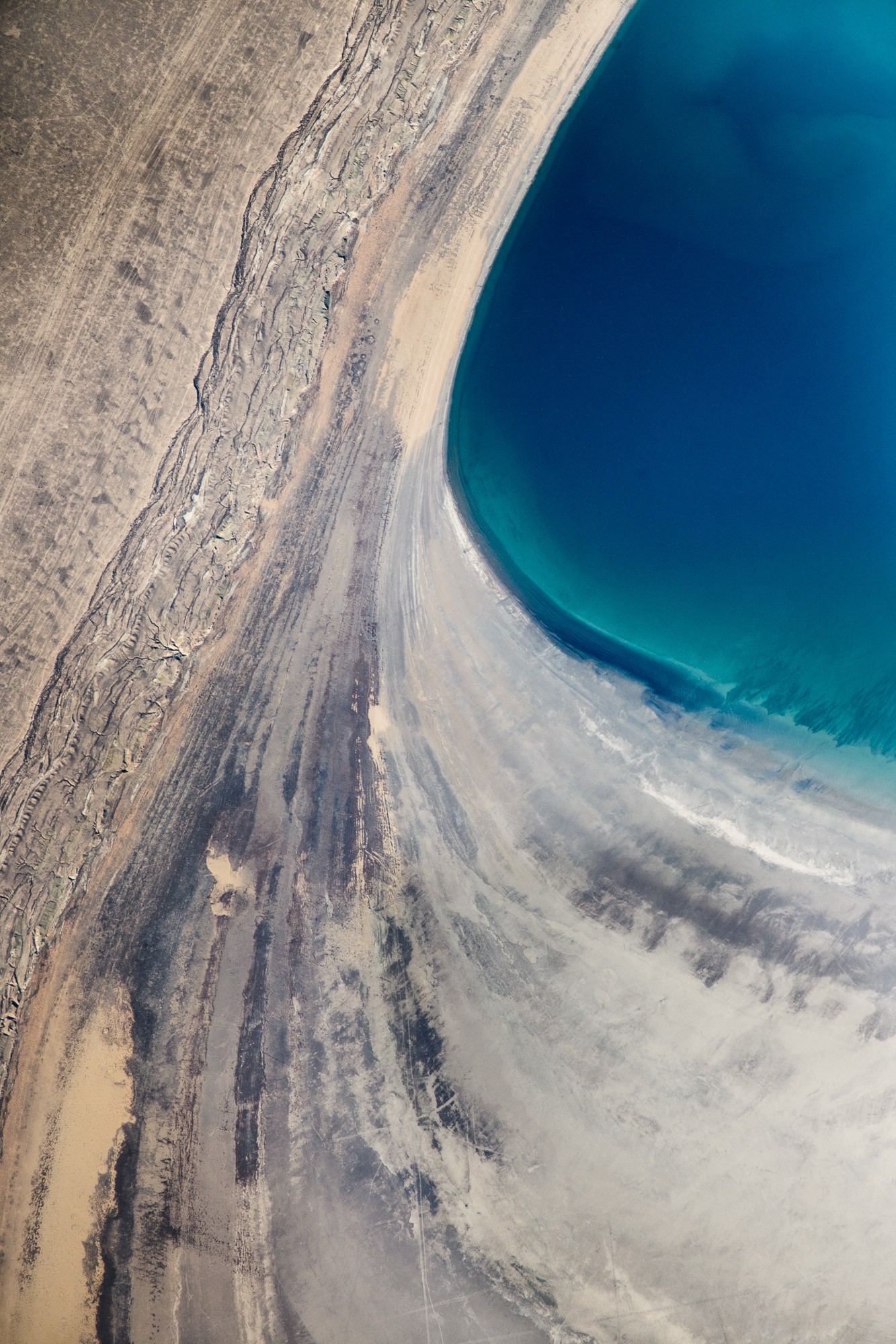
Formerly one of the four largest lakes in the world, the Aral Sea has been shrinking since at least 1850 and the shrinking has accelerated since the 1960s after the rivers that fed it were diverted by Soviet irrigation projects. Satellite images taken by NASA in August 2014 revealed that for the first time in modern history the eastern basin of the Aral Sea had completely dried up. The eastern basin is now called the Aralkum Desert. UNESCO added the historical documents concerning the development of the Aral Sea to its Memory of the World Register as a unique resource to study this “environmental tragedy”.
The local scenery on the ground is as follows.

Reference: Sergey Ryazansky’s Tweet
See earthview photo gallery: LiVEARTH