Astronaut Andreas Mogensen captured from ISS Aruba in the Caribbean Sea.
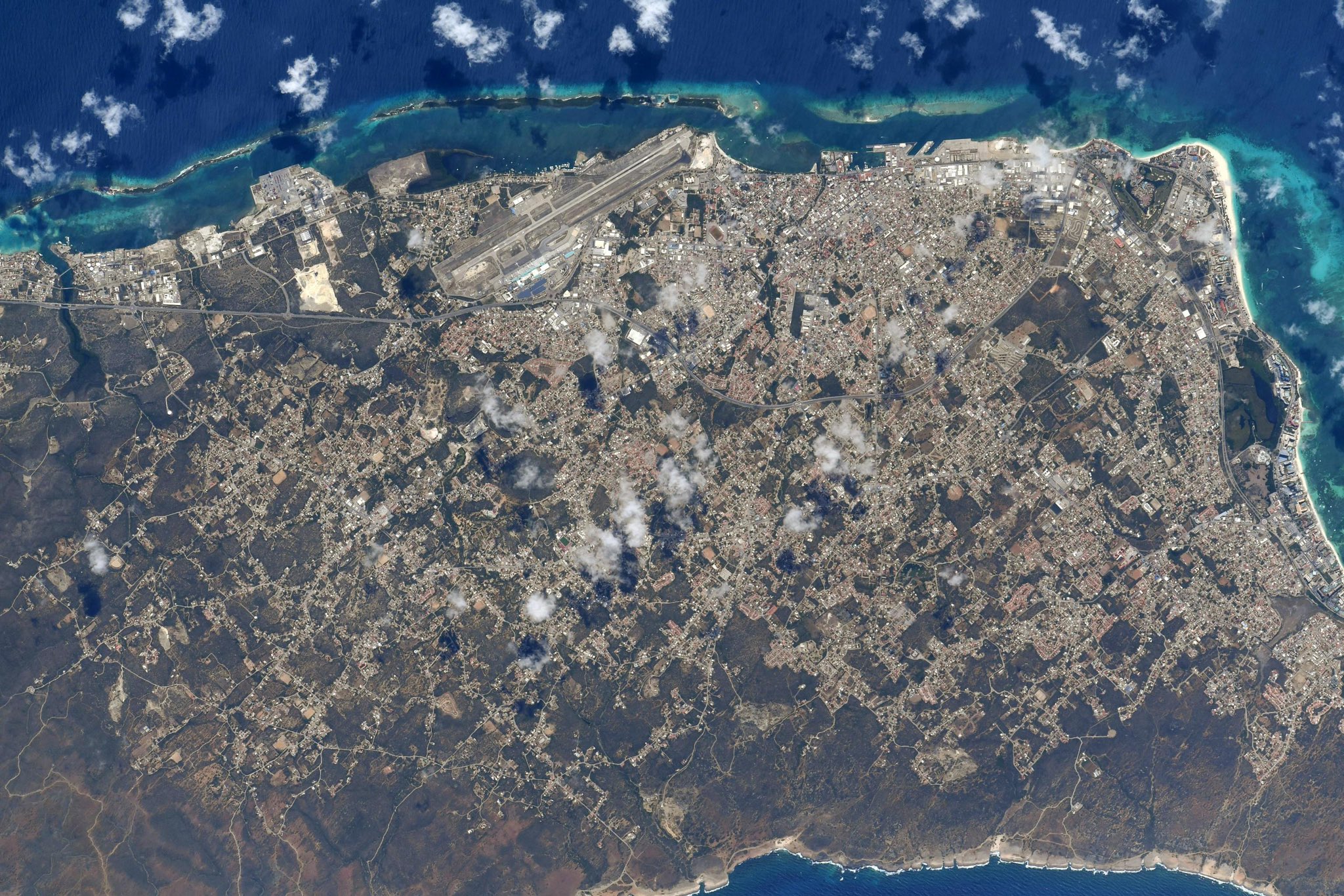
Aruba is a constituent country of the Kingdom of the Netherlands physically located in the mid-south of the Caribbean Sea, about 29km north of the Venezuelan peninsula of Paraguaná. It measures 32km long from its northwestern to its southeastern end and 10km across at its widest point. Together with Bonaire and Curaçao, Aruba forms a group referred to as the ABC islands. Collectively, these and the other three Dutch substantial islands in the Caribbean are often called the Dutch Caribbean, of which Aruba has about one-third of the population. In 1986, it became a constituent country within the Kingdom of the Netherlands, and acquired the formal name the Country of Aruba. Unlike much of the Caribbean region, Aruba has a dry climate and an arid, cactus-strewn landscape. The relatively warm and sunny weather, and the climate allow for related tourism activities all year round.
The local scenery on the ground is as follows.


Reference: Andreas Mogensen’s Tweet
See earthview photo gallery: LiVEARTH