NOAA’s NOAA-20 satellite captured Chatham Island, New Zealand.
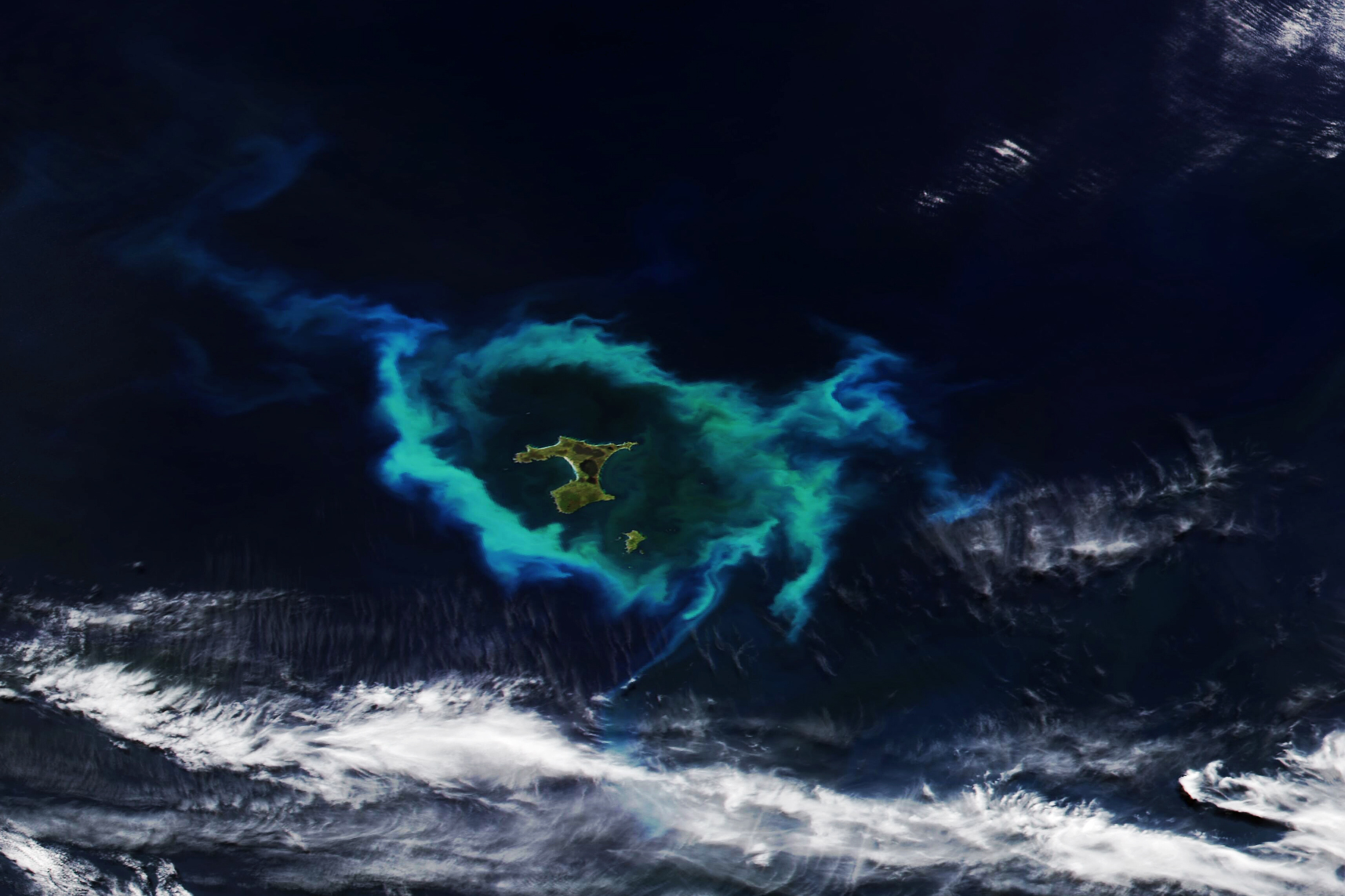
Chatham Island is the largest island of the Chatham Islands group, in the south Pacific Ocean off the eastern coast of New Zealand’s South Island. It is said to be “halfway between the equator and the pole, and right on the International Date Line”, although that point is off WSW of the island’s westernmost point. The Moriori are the first settlers of the Chatham Islands. The island is called Rekohu (“misty skies”) in Moriori, and Wharekauri in Māori. The island was named after the survey ship HMS Chatham which was the first European ship to locate the island in 1791. It covers an area of 920km2. Chatham Island lies 650 km (404 mi) south-east of Cape Turnagain, the nearest point of mainland New Zealand.
The local scenery on the ground is as follows.

Reference: NASA Earth’s Tweet
See earthview photo gallery: LiVEARTH