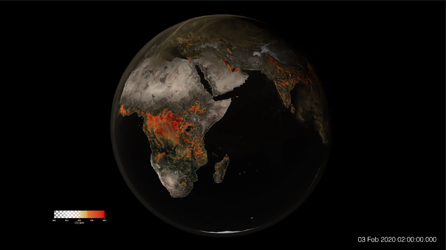
NASA’s Goddard Space Flight Center released a ‘tremendous’ video of CO2 spewing From the US Into Earth’s atmosphere. This global map shows concentrations of carbon dioxide as the gas moved through Earth’s atmosphere from January through March 2020, driven by wind patterns and atmospheric circulation. The model’s high resolution enables zooming in to see CO2 emissions rising from power plants, fires, and cities, then spreading across continents and oceans.
Reference: NASA Earth’s Tweet
See earthview photo gallery: LiVEARTH