Landsat 8 satellite captured Mt. Etna, Sicily, Italy which started erupting on Feb. 11, 2025, with smoke streaming from its summit and lava spilling from the new “Bocca Nuova” crater.
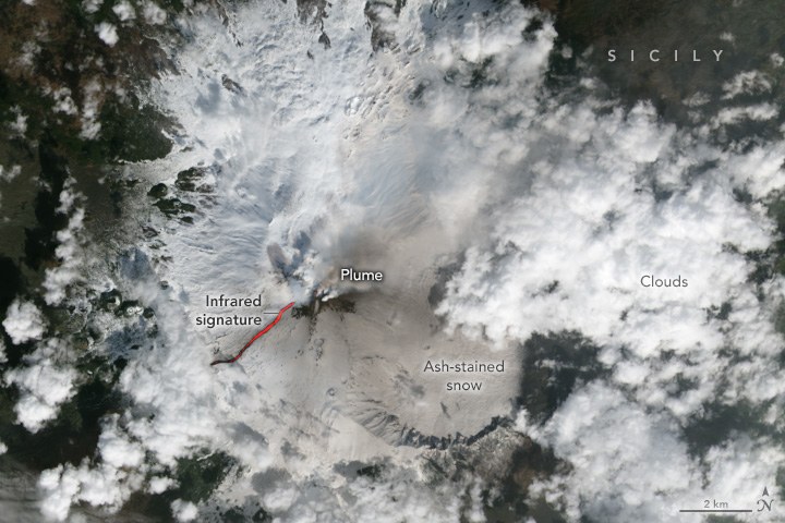
Mt. Etna is an active stratovolcano on the east coast of Sicily, Italy, between the cities of Messina and Catania. It lies above the convergent plate margin between the African Plate and the Eurasian Plate. It is the highest active volcano in Europe outside the Caucasus and the highest peak in Italy south of the Alps with a current height of 3,326m, though this varies with summit eruptions. Etna with a basal circumference of 140km is by far the largest of the 3 active volcanoes in Italy, being about 2.5 times the height of the next largest, Mt. Vesuvius. The recent eruption was on Dec. 24 2018, which spewed ash into the air, forcing the closure of airspace around Mt. Etna.
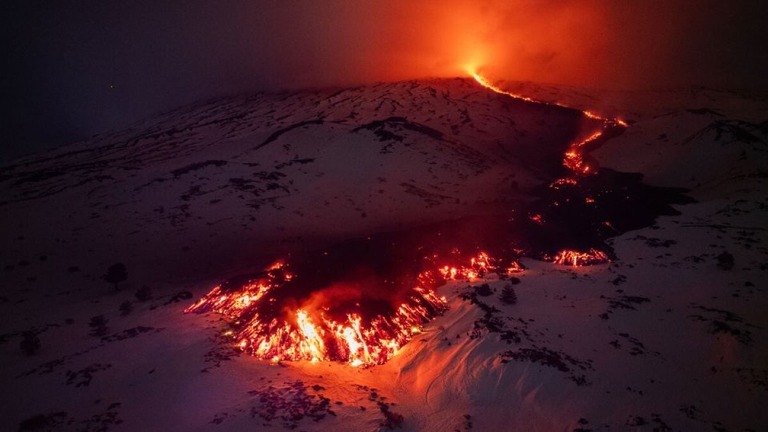
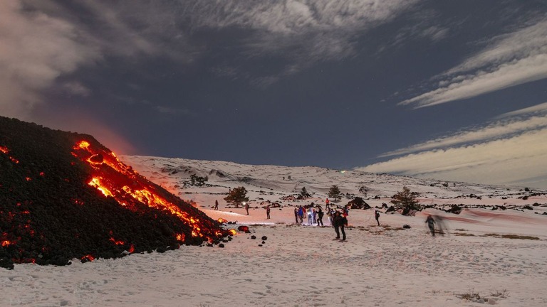
The local scenery on the ground is as follows.
Reference: NASA Earth’s Tweet
See earthview photo gallery: LiVEARTH